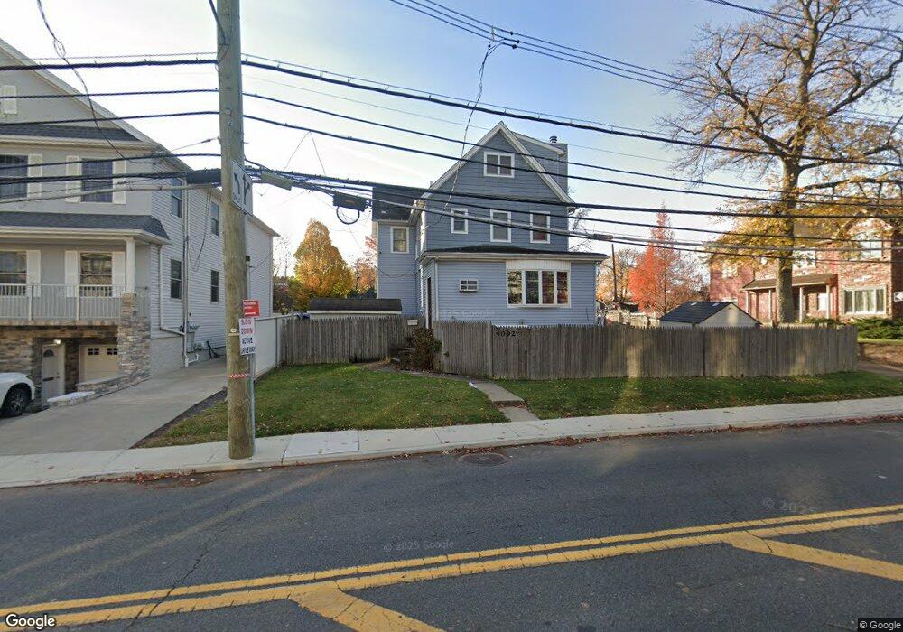
4092 Amboy Rd Staten Island, NY 10308
Great Kills NeighborhoodEstimated Value: $783,000 - $974,000
3
Beds
2
Baths
2,880
Sq Ft
$296/Sq Ft
Est. Value
About This Home
This home is located at 4092 Amboy Rd, Staten Island, NY 10308 and is currently estimated at $853,581, approximately $296 per square foot. 4092 Amboy Rd is a home located in Richmond County with nearby schools including P.S. 8 Shirlee Solomon, Myra S. Barnes Intermediate School 24, and New Dorp High School.
Ownership History
Date
Name
Owned For
Owner Type
Purchase Details
Closed on
Oct 12, 1999
Sold by
Howe John F
Bought by
Ronacher Robert W and Ronacher Giovanna M
Current Estimated Value
Home Financials for this Owner
Home Financials are based on the most recent Mortgage that was taken out on this home.
Original Mortgage
$164,000
Interest Rate
7.78%
Create a Home Valuation Report for This Property
The Home Valuation Report is an in-depth analysis detailing your home's value as well as a comparison with similar homes in the area
Home Values in the Area
Average Home Value in this Area
Purchase History
| Date | Buyer | Sale Price | Title Company |
|---|---|---|---|
| Ronacher Robert W | $205,000 | -- |
Source: Public Records
Mortgage History
| Date | Status | Borrower | Loan Amount |
|---|---|---|---|
| Previous Owner | Ronacher Robert W | $164,000 |
Source: Public Records
Tax History Compared to Growth
Tax History
| Year | Tax Paid | Tax Assessment Tax Assessment Total Assessment is a certain percentage of the fair market value that is determined by local assessors to be the total taxable value of land and additions on the property. | Land | Improvement |
|---|---|---|---|---|
| 2025 | $6,645 | $48,180 | $12,271 | $35,909 |
| 2024 | $6,657 | $41,580 | $13,684 | $27,896 |
| 2023 | $6,323 | $32,533 | $12,619 | $19,914 |
| 2022 | $5,840 | $35,340 | $16,500 | $18,840 |
| 2021 | $6,010 | $30,000 | $16,500 | $13,500 |
| 2020 | $6,024 | $33,120 | $16,500 | $16,620 |
| 2019 | $5,719 | $35,940 | $16,500 | $19,440 |
| 2018 | $5,229 | $27,111 | $13,580 | $13,531 |
| 2017 | $4,914 | $25,578 | $14,153 | $11,425 |
| 2016 | $4,797 | $25,545 | $15,473 | $10,072 |
| 2015 | $4,291 | $24,883 | $13,221 | $11,662 |
| 2014 | $4,291 | $23,948 | $12,521 | $11,427 |
Source: Public Records
Map
Nearby Homes
- 52 Pleasant St
- 4157 Amboy Rd Unit H
- 17 Wilson Ave
- 27 Brower Ct
- 4185 Amboy Rd Unit 2
- 67 Wilson Ave
- 74 Wilson Ave
- 68 Margaret St
- 45 Oakdale St
- 4199 Amboy Rd Unit 7
- 4219 Amboy Rd Unit 4A
- 71 Abingdon Ave
- 169 Lamoka Ave
- 114 Holly Ave
- 150 Acacia Ave
- 256 Katan Ave Unit B
- 103 Acacia Ave
- 221 B Katan Ave
- 221B Katan Ave Unit 33B
- 275 Katan Ave
- 4088 Amboy Rd Unit 2
- 4088 Amboy Rd
- 4112 Amboy Rd
- 58 Lindenwood Rd
- 4086 Amboy Rd
- 59 Seely Ln
- 4116 Amboy Rd
- 60 Lindenwood Rd
- 4118 Amboy Rd Unit 4120
- 4118-4120 Amboy Rd
- 4095 Amboy Rd
- 4111 Amboy Rd
- 6 Colon Ave
- 4066 Amboy Rd
- 4126 Amboy Rd
- 4 Colon Ave
- 55 Lindenwood Rd
- 4128 Amboy Rd
- 70 Lindenwood Rd
- 63 Lindenwood Rd