Estimated Value: $290,136 - $351,000
2
Beds
2
Baths
1,632
Sq Ft
$198/Sq Ft
Est. Value
About This Home
This home is located at 4092 Brookshore Dr Unit 18, Lima, OH 45801 and is currently estimated at $322,784, approximately $197 per square foot. 4092 Brookshore Dr Unit 18 is a home located in Allen County with nearby schools including Bath Elementary School, Bath Middle School, and Bath High School.
Ownership History
Date
Name
Owned For
Owner Type
Purchase Details
Closed on
May 19, 2015
Sold by
Neal Kevin M O
Bought by
Ruen James R
Current Estimated Value
Home Financials for this Owner
Home Financials are based on the most recent Mortgage that was taken out on this home.
Original Mortgage
$132,000
Interest Rate
3.9%
Mortgage Type
Purchase Money Mortgage
Purchase Details
Closed on
May 15, 2013
Sold by
Stone Robert R
Bought by
Neal Kevin M O
Home Financials for this Owner
Home Financials are based on the most recent Mortgage that was taken out on this home.
Original Mortgage
$150,300
Interest Rate
2.62%
Mortgage Type
Adjustable Rate Mortgage/ARM
Create a Home Valuation Report for This Property
The Home Valuation Report is an in-depth analysis detailing your home's value as well as a comparison with similar homes in the area
Home Values in the Area
Average Home Value in this Area
Purchase History
| Date | Buyer | Sale Price | Title Company |
|---|---|---|---|
| Ruen James R | $165,000 | None Available | |
| Neal Kevin M O | $167,000 | None Available |
Source: Public Records
Mortgage History
| Date | Status | Borrower | Loan Amount |
|---|---|---|---|
| Previous Owner | Ruen James R | $132,000 | |
| Previous Owner | Neal Kevin M O | $150,300 |
Source: Public Records
Tax History Compared to Growth
Tax History
| Year | Tax Paid | Tax Assessment Tax Assessment Total Assessment is a certain percentage of the fair market value that is determined by local assessors to be the total taxable value of land and additions on the property. | Land | Improvement |
|---|---|---|---|---|
| 2024 | $3,927 | $90,300 | $14,630 | $75,670 |
| 2023 | $2,782 | $62,270 | $10,080 | $52,190 |
| 2022 | $2,810 | $62,270 | $10,080 | $52,190 |
| 2021 | $2,826 | $62,270 | $10,080 | $52,190 |
| 2020 | $2,745 | $55,200 | $10,080 | $45,120 |
| 2019 | $2,745 | $55,200 | $10,080 | $45,120 |
| 2018 | $2,633 | $55,200 | $10,080 | $45,120 |
| 2017 | $2,589 | $53,060 | $10,080 | $42,980 |
| 2016 | $2,555 | $53,060 | $10,080 | $42,980 |
| 2015 | $2,613 | $53,060 | $10,080 | $42,980 |
| 2014 | $2,613 | $50,720 | $10,080 | $40,640 |
| 2013 | $2,617 | $50,720 | $10,080 | $40,640 |
Source: Public Records
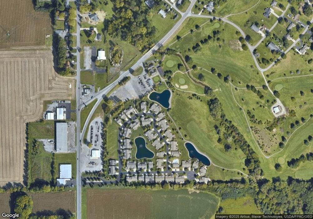
Map
Nearby Homes
- 4080 Brookshore Dr
- 4050 Brookshore Dr
- 3270 Bonnieview Dr
- 3798 Kissing Hollow Dr
- 3456 Shearin Ave
- 0 Fraunfelter Unit 307817
- 0 N Eastown Rd Unit 1034495
- 1129 W Bluelick Rd
- 2370 N McDonel St
- 168 Lyre Bird Ln
- 1679 E Bluelick Rd
- 2718 Carolyn Dr
- 2630 Carolyn Dr
- 2371 Mandolin Dr
- 105 Watt Ave
- 1743 Sherry Lee Dr
- 2104 Virginia Ave
- 1619 Northbrook Dr
- 2511 Debbie Dr
- 700 Lewis Blvd
- 4082 Brookshore Dr
- 4072 Brookshore Dr
- 4068 Brookshore Dr
- 4088 Brookshore Dr Unit 19
- 4089 Brookshore Dr
- 4095 Brookshore Dr
- 4096 Brookshore Dr Unit 34
- 4065 Brookshore Dr
- 4061 Brookshore Dr Unit 26
- 4065 Brookshore Dr
- 4049 Brookshore Dr
- 4055 Brookshore Dr
- 4074 Brookshore Dr Unit 55
- 4028 Brookshore Dr
- 4040 Brookshore Dr
- 4093 Brookshore Dr