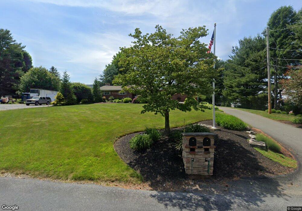
4092 Tank Farm Rd Emmaus, PA 18049
Lower Macungie Township East NeighborhoodEstimated Value: $455,000 - $513,000
2
Beds
2
Baths
1,666
Sq Ft
$284/Sq Ft
Est. Value
About This Home
This home is located at 4092 Tank Farm Rd, Emmaus, PA 18049 and is currently estimated at $473,884, approximately $284 per square foot. 4092 Tank Farm Rd is a home located in Lehigh County with nearby schools including Macungie Elementary School, Eyer Middle School, and Emmaus High School.
Ownership History
Date
Name
Owned For
Owner Type
Purchase Details
Closed on
Mar 29, 2010
Sold by
Marks Timothy S
Bought by
Grace Robert B
Current Estimated Value
Home Financials for this Owner
Home Financials are based on the most recent Mortgage that was taken out on this home.
Original Mortgage
$253,600
Outstanding Balance
$169,907
Interest Rate
5.12%
Mortgage Type
New Conventional
Estimated Equity
$303,977
Create a Home Valuation Report for This Property
The Home Valuation Report is an in-depth analysis detailing your home's value as well as a comparison with similar homes in the area
Home Values in the Area
Average Home Value in this Area
Purchase History
| Date | Buyer | Sale Price | Title Company |
|---|---|---|---|
| Grace Robert B | $318,000 | -- |
Source: Public Records
Mortgage History
| Date | Status | Borrower | Loan Amount |
|---|---|---|---|
| Open | Grace Robert B | $253,600 |
Source: Public Records
Tax History Compared to Growth
Tax History
| Year | Tax Paid | Tax Assessment Tax Assessment Total Assessment is a certain percentage of the fair market value that is determined by local assessors to be the total taxable value of land and additions on the property. | Land | Improvement |
|---|---|---|---|---|
| 2025 | $6,436 | $252,100 | $78,500 | $173,600 |
| 2024 | $6,151 | $252,100 | $78,500 | $173,600 |
| 2023 | $6,027 | $252,100 | $78,500 | $173,600 |
| 2022 | $5,882 | $252,100 | $173,600 | $78,500 |
| 2021 | $5,756 | $252,100 | $78,500 | $173,600 |
| 2020 | $5,700 | $252,100 | $78,500 | $173,600 |
| 2019 | $5,665 | $252,100 | $78,500 | $173,600 |
| 2018 | $5,520 | $252,100 | $78,500 | $173,600 |
| 2017 | $5,422 | $252,100 | $78,500 | $173,600 |
| 2016 | -- | $252,100 | $78,500 | $173,600 |
| 2015 | -- | $252,100 | $78,500 | $173,600 |
| 2014 | -- | $252,100 | $78,500 | $173,600 |
Source: Public Records
Map
Nearby Homes
- 4245 Tank Farm Rd
- 4788 Buckeye Rd
- 3989 Mink Rd
- 3721 Samantha Ln
- 3721 Samantha Ln Unit 76
- Foxgrove I - TR Plan at The Fields at Twin Run
- Folcroft -TR Plan at The Fields at Twin Run
- Sierra - TR Plan at The Fields at Twin Run
- Cheswick - TR Plan at The Fields at Twin Run
- 3754 Samantha Ln
- Penrose I - TR Plan at The Fields at Twin Run
- Gossamer - TR Plan at The Fields at Twin Run
- 3754 Samantha Ln Unit Lot 1
- Penrose II - TR Plan at The Fields at Twin Run
- Garland I - TR Plan at The Fields at Twin Run
- Olympia I - TR Plan at The Fields at Twin Run
- Daggerwing - TR Plan at The Fields at Twin Run
- Arden - TR Plan at The Fields at Twin Run
- 4481 Linda Ln
- 3703 Samantha Ln Unit Lot 70
- 4124 Tank Farm Rd
- 4101 Ford Dr
- 4140 Tank Farm Rd
- 4114 Tank Farm Rd
- 4141 Ford Dr
- 4031 Tank Farm Rd
- 4109 Ford Dr
- 4984 Buckeye Rd
- 4998 Buckeye Rd
- 4191 Ford Dr
- 4165 Ford Dr
- 4976 Buckeye Rd
- 4192 Tank Farm Rd
- 4113 Ford Dr
- 4968 Buckeye Rd
- 4950 Buckeye Rd
- 4942 Buckeye Rd
- 4183 Ford Dr
- 4993 Buckeye Rd
- 4981 Buckeye Rd