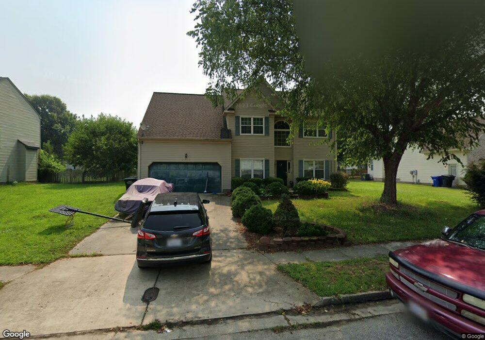
4094 Long Point Blvd Portsmouth, VA 23703
Churchland NeighborhoodEstimated Value: $411,000 - $436,000
3
Beds
3
Baths
2,638
Sq Ft
$161/Sq Ft
Est. Value
About This Home
This home is located at 4094 Long Point Blvd, Portsmouth, VA 23703 and is currently estimated at $423,419, approximately $160 per square foot. 4094 Long Point Blvd is a home located in Portsmouth City with nearby schools including Churchland Primary/Intermediate School, Churchland Middle School, and Churchland High School.
Ownership History
Date
Name
Owned For
Owner Type
Purchase Details
Closed on
Nov 26, 2004
Sold by
Williams Freddie L
Bought by
Williams Robin
Current Estimated Value
Home Financials for this Owner
Home Financials are based on the most recent Mortgage that was taken out on this home.
Original Mortgage
$168,000
Outstanding Balance
$82,979
Interest Rate
5.73%
Mortgage Type
New Conventional
Estimated Equity
$340,440
Create a Home Valuation Report for This Property
The Home Valuation Report is an in-depth analysis detailing your home's value as well as a comparison with similar homes in the area
Home Values in the Area
Average Home Value in this Area
Purchase History
| Date | Buyer | Sale Price | Title Company |
|---|---|---|---|
| Williams Robin | $157,600 | -- |
Source: Public Records
Mortgage History
| Date | Status | Borrower | Loan Amount |
|---|---|---|---|
| Open | Williams Robin | $168,000 |
Source: Public Records
Tax History Compared to Growth
Tax History
| Year | Tax Paid | Tax Assessment Tax Assessment Total Assessment is a certain percentage of the fair market value that is determined by local assessors to be the total taxable value of land and additions on the property. | Land | Improvement |
|---|---|---|---|---|
| 2025 | $4,659 | $387,490 | $91,610 | $295,880 |
| 2024 | $4,659 | $364,910 | $91,610 | $273,300 |
| 2023 | $4,166 | $333,280 | $91,610 | $241,670 |
| 2022 | $4,274 | $328,770 | $91,610 | $237,160 |
| 2021 | $3,635 | $279,620 | $76,340 | $203,280 |
| 2020 | $3,500 | $269,210 | $72,710 | $196,500 |
| 2019 | $3,470 | $266,950 | $72,710 | $194,240 |
| 2018 | $3,470 | $266,950 | $72,710 | $194,240 |
| 2017 | $3,470 | $266,950 | $72,710 | $194,240 |
| 2016 | $3,353 | $257,920 | $72,710 | $185,210 |
| 2015 | $3,353 | $257,920 | $72,710 | $185,210 |
| 2014 | $3,269 | $257,380 | $72,710 | $184,670 |
Source: Public Records
Map
Nearby Homes
- 17 Shoal Ct
- 4071 Long Point Blvd
- 3913 Stateflower Ct
- 8 Compass Ct
- 3877 Peachtree Ln W
- 3818 Peach Orchard Cir
- 6446 Olde Bullocks Cir
- 3866 Augustine Cir
- 6417 Pelican Crescent N
- 3860 Sugar Creek Cir
- 3817 Harvest Ct
- 4100 Mayfair Way
- 3791 Towne Point Rd
- 3660B Towne Point Rd Unit A
- 5807 Dunkin St
- 3715 Magnolia Dr
- 3705 Bamboo Rd
- 6109 Compton Ct
- 3433 Willow Breeze Dr
- 6215 Cambridge Dr
- 4096 Long Point Blvd
- 4092 Long Point Blvd
- 11 Sailfish St
- 4095 Long Point Blvd
- 10 Sailfish St
- 4093 Long Point Blvd
- 4029 Ebbtide Ln
- 4090 Long Point Blvd
- 9 Sailfish St
- 4025 Ebbtide Ln
- 4091 Long Point Blvd
- 4099 Long Point Blvd
- 8 Sailfish St
- 4088 Long Point Blvd
- 4089 Long Point Blvd
- 3 Shoal Ct
- 7 Sailfish St
- 5 Shoal Ct
- 4017 Ebbtide Ln
- 6 Sailfish St