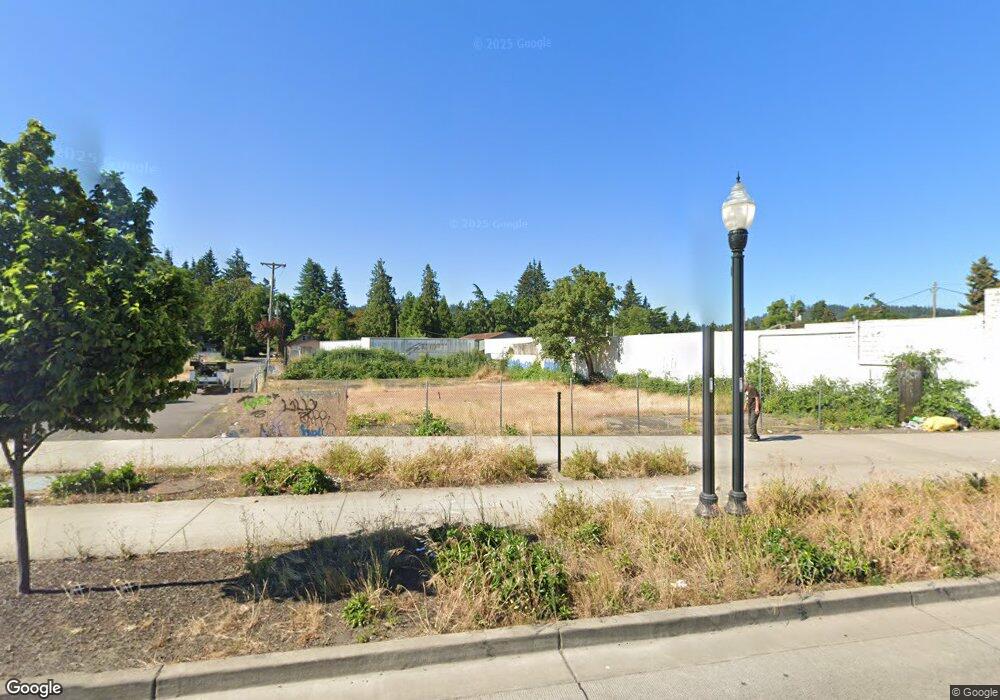
4095 Franklin Blvd Eugene, OR 97403
Glenwood NeighborhoodEstimated Value: $693,610
Studio
--
Bath
2,745
Sq Ft
$253/Sq Ft
Est. Value
About This Home
This home is located at 4095 Franklin Blvd, Eugene, OR 97403 and is currently priced at $693,610, approximately $252 per square foot. 4095 Franklin Blvd is a home located in Lane County with nearby schools including Camas Ridge Community Elementary School, Roosevelt Middle School, and South Eugene High School.
Ownership History
Date
Name
Owned For
Owner Type
Purchase Details
Closed on
Aug 18, 2025
Sold by
Springfield Economic Development Agency
Bought by
Lte-4095 Franklin Llc
Current Estimated Value
Purchase Details
Closed on
Jul 12, 2023
Sold by
City Of Springfield
Bought by
Springfield Economic Development Agency
Purchase Details
Closed on
Jan 26, 2012
Sold by
Snyder Leah Dianne
Bought by
Springfield Economic Development Agency
Purchase Details
Closed on
Nov 8, 2006
Sold by
Smith Howard E and Smith Betty A
Bought by
Smith Howard Edward and Smith Betty Ann
Create a Home Valuation Report for This Property
The Home Valuation Report is an in-depth analysis detailing your home's value as well as a comparison with similar homes in the area
Home Values in the Area
Average Home Value in this Area
Purchase History
| Date | Buyer | Sale Price | Title Company |
|---|---|---|---|
| Lte-4095 Franklin Llc | $75,000 | Cascade Title | |
| Springfield Economic Development Agency | -- | None Listed On Document | |
| Springfield Economic Development Agency | $249,000 | First American Title | |
| Smith Howard Edward | -- | None Available |
Source: Public Records
Tax History
| Year | Tax Paid | Tax Assessment Tax Assessment Total Assessment is a certain percentage of the fair market value that is determined by local assessors to be the total taxable value of land and additions on the property. | Land | Improvement |
|---|---|---|---|---|
| 2025 | -- | $111,094 | -- | -- |
| 2024 | -- | $107,859 | -- | -- |
| 2023 | -- | $190,573 | $170,657 | $19,916 |
| 2022 | $0 | $211,749 | $189,620 | $22,129 |
| 2021 | $0 | $183,334 | $0 | $0 |
| 2020 | $0 | $169,755 | $0 | $0 |
| 2019 | $0 | $160,147 | $0 | $0 |
| 2018 | $0 | $256,066 | $0 | $0 |
| 2017 | $0 | $256,066 | $0 | $0 |
| 2016 | -- | $248,608 | $0 | $0 |
| 2015 | -- | $241,367 | $0 | $0 |
| 2014 | -- | $234,337 | $0 | $0 |
Source: Public Records
Map
Nearby Homes
- 3955 E 17th Ave
- 552 W D St
- 4531 Franklin Blvd Unit 92
- 4531 Franklin Blvd
- 4531 Franklin Blvd Unit 117
- 4395 E 20th Ave
- 207 W D St
- 504 S 3rd St
- 930 Prescott Ln
- 488 Main St
- 952 Summit Blvd
- 501 S 5th St
- 502 S 6th St
- 930 1st St
- 540 S 6th
- 2770 E 16th Ave
- 1650 Augusta Aly
- 1652 Augusta Aly
- 736 5th St
- 0 Cascara Dr Unit 95 220178300
- 4102 Franklin Blvd
- 1450 Brooklyn St
- 1400 Mississippi Ave
- 4190 Franklin Blvd
- 1460 Brooklyn St
- 1470 Brooklyn St
- 3975 E 14th Ave
- 1492 Mississippi Ave
- 1525 Concord St
- 1519 Mississippi Ave
- 4075 E 15th Ave
- 4025 E 15th Ave
- 3950 E 15th Ave
- 1500 Brooklyn St
- 3915 E 14th Ave
- 1533 Concord St
- 1475 Brooklyn St
- 3920 E 15th Ave
- 3920 E 15 Ave
- 3911 E 14th Ave
