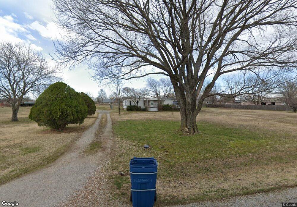
4097 E 484 Rd Owasso, OK 74055
Estimated Value: $138,000 - $282,000
3
Beds
2
Baths
1,680
Sq Ft
$116/Sq Ft
Est. Value
About This Home
This home is located at 4097 E 484 Rd, Owasso, OK 74055 and is currently estimated at $195,514, approximately $116 per square foot. 4097 E 484 Rd is a home located in Rogers County with nearby schools including Stone Canyon Elementary School, Owasso 6th Grade Center, and Owasso 8th Grade Center.
Ownership History
Date
Name
Owned For
Owner Type
Purchase Details
Closed on
Sep 21, 2007
Sold by
Brown Ronald D and Brown Jo Rita
Bought by
Thor Por
Current Estimated Value
Home Financials for this Owner
Home Financials are based on the most recent Mortgage that was taken out on this home.
Original Mortgage
$114,300
Outstanding Balance
$72,258
Interest Rate
6.63%
Mortgage Type
New Conventional
Estimated Equity
$123,256
Create a Home Valuation Report for This Property
The Home Valuation Report is an in-depth analysis detailing your home's value as well as a comparison with similar homes in the area
Purchase History
| Date | Buyer | Sale Price | Title Company |
|---|---|---|---|
| Thor Por | $111,000 | First American Title & Abstr |
Source: Public Records
Mortgage History
| Date | Status | Borrower | Loan Amount |
|---|---|---|---|
| Open | Thor Por | $114,300 |
Source: Public Records
Tax History
| Year | Tax Paid | Tax Assessment Tax Assessment Total Assessment is a certain percentage of the fair market value that is determined by local assessors to be the total taxable value of land and additions on the property. | Land | Improvement |
|---|---|---|---|---|
| 2025 | $657 | $6,950 | $5,246 | $1,704 |
| 2024 | $648 | $6,748 | $5,093 | $1,655 |
| 2023 | $648 | $6,551 | $4,587 | $1,964 |
| 2022 | $616 | $6,361 | $4,400 | $1,961 |
| 2021 | $589 | $6,175 | $4,400 | $1,775 |
| 2020 | $594 | $6,232 | $4,400 | $1,832 |
| 2019 | $609 | $6,361 | $4,400 | $1,961 |
| 2018 | $612 | $6,570 | $4,400 | $2,170 |
| 2017 | $614 | $6,538 | $4,400 | $2,138 |
| 2016 | $609 | $6,482 | $4,400 | $2,082 |
| 2015 | $597 | $6,428 | $4,400 | $2,028 |
| 2014 | -- | $6,554 | $4,400 | $2,154 |
Source: Public Records
Map
Nearby Homes
- 18894 E 80th St N
- 18522 E 79th St N
- 18525 Onyx Pass
- 7676 Remington Way
- 18515 Onyx Pass
- 17798 E Anthem Ridge Rd
- 7766 Remington Way
- 7675 Silverado Dr
- 7701 Remington Way
- 7615 Silverado Dr
- 19524 E 74th Place N
- 20033 E 75th Ct N
- 9214 N 184th East Ave
- 7250 N 194th East Ave
- 19104 E Beecher Ct
- 8219 N 175th East Ave
- 8228 N 175th Ave E
- 7177 N 196th East Ave
- 7235 N 198th East Ave
- 7408 N 202nd East Ave
- 4194 E 488 Rd
- 19150 E 84th St N
- 19134 E 84th St N
- 19153 E 84th St N
- 19131 E 84th St N
- 19110 E 84th St N
- 19109 E 84th St N
- 0 N 191st Ave Unit 1623551
- 0 N 191st Ave Unit 1742840
- Lot 45 Block 4 N 191st East Ave
- null N 191st East Ave
- 0 N 191st East Ave
- 8413 N 191st East Ave
- 11617 N 191st Ave E
- 8271 N 191st East Ave
- 11719 N 191st E Place
- 8419 N 191st East Ave
- 8418 N 191st East Ave
- 8207 N 191st East Ave
- 19014 E 82nd St N
Your Personal Tour Guide
Ask me questions while you tour the home.