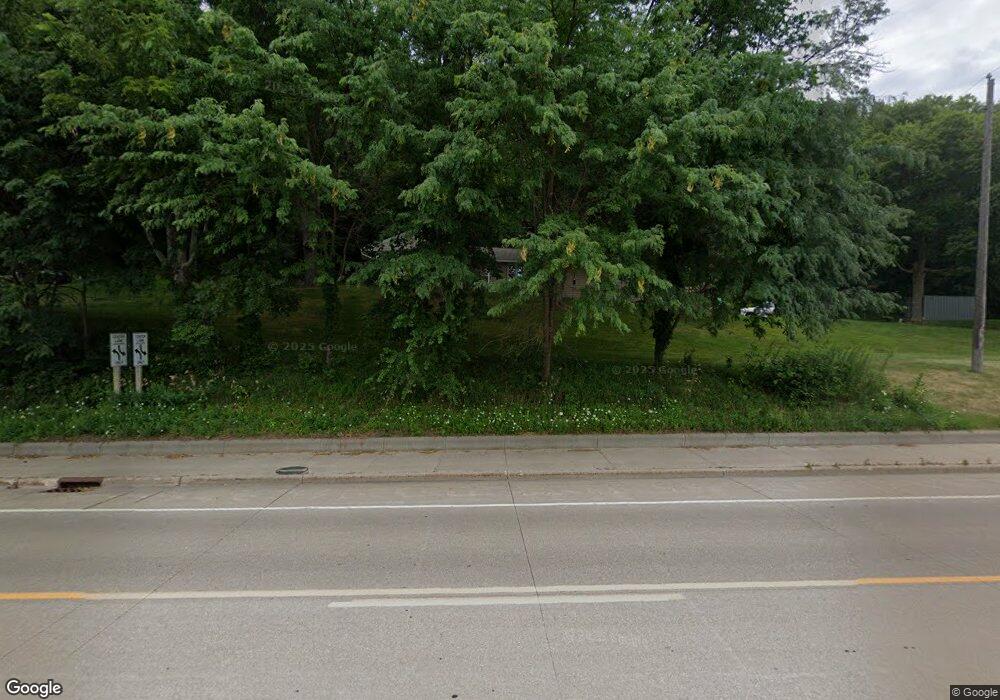
4097 State Rd La Crosse, WI 54601
Estimated Value: $288,000 - $442,000
--
Bed
--
Bath
--
Sq Ft
1.41
Acres
About This Home
This home is located at 4097 State Rd, La Crosse, WI 54601 and is currently estimated at $338,824. 4097 State Rd is a home located in La Crosse County with nearby schools including State Road Elementary School, Lincoln Middle School, and Central High School.
Ownership History
Date
Name
Owned For
Owner Type
Purchase Details
Closed on
Oct 24, 2011
Sold by
Sexauer Jeffrey M and Sexauer Amy R
Bought by
Cade Thomas L
Current Estimated Value
Home Financials for this Owner
Home Financials are based on the most recent Mortgage that was taken out on this home.
Original Mortgage
$116,000
Interest Rate
4.09%
Mortgage Type
New Conventional
Purchase Details
Closed on
Apr 12, 2005
Sold by
Korn Gregg H and Korn Jamie R
Bought by
Sexauer Jeffrey M
Home Financials for this Owner
Home Financials are based on the most recent Mortgage that was taken out on this home.
Original Mortgage
$135,000
Interest Rate
6.06%
Mortgage Type
New Conventional
Create a Home Valuation Report for This Property
The Home Valuation Report is an in-depth analysis detailing your home's value as well as a comparison with similar homes in the area
Home Values in the Area
Average Home Value in this Area
Purchase History
| Date | Buyer | Sale Price | Title Company |
|---|---|---|---|
| Cade Thomas L | $145,000 | None Available | |
| Sexauer Jeffrey M | $145,000 | None Available |
Source: Public Records
Mortgage History
| Date | Status | Borrower | Loan Amount |
|---|---|---|---|
| Open | Cade Thomas L | $98,000 | |
| Closed | Cade Thomas L | $6,000 | |
| Previous Owner | Cade Thomas L | $116,000 | |
| Previous Owner | Sexauer Jeff M | $128,900 | |
| Previous Owner | Sexauer Jeffrey M | $13,000 | |
| Previous Owner | Sexauer Jeffrey M | $135,000 |
Source: Public Records
Tax History Compared to Growth
Tax History
| Year | Tax Paid | Tax Assessment Tax Assessment Total Assessment is a certain percentage of the fair market value that is determined by local assessors to be the total taxable value of land and additions on the property. | Land | Improvement |
|---|---|---|---|---|
| 2024 | $3,378 | $275,200 | $54,100 | $221,100 |
| 2023 | $2,948 | $153,200 | $31,400 | $121,800 |
| 2022 | $2,845 | $153,200 | $31,400 | $121,800 |
| 2021 | $2,883 | $153,200 | $31,400 | $121,800 |
| 2020 | $2,887 | $153,200 | $31,400 | $121,800 |
| 2019 | $2,852 | $153,200 | $31,400 | $121,800 |
| 2018 | $2,795 | $153,200 | $31,400 | $121,800 |
| 2017 | $2,795 | $153,200 | $31,400 | $121,800 |
| 2016 | $2,974 | $153,200 | $31,400 | $121,800 |
| 2015 | $2,873 | $153,200 | $31,400 | $121,800 |
| 2014 | $2,932 | $153,200 | $31,400 | $121,800 |
| 2013 | $2,842 | $137,400 | $25,000 | $112,400 |
Source: Public Records
Map
Nearby Homes
- 3421 Greenbriar Ct
- 3121 Glendale Ave
- 3055 State Rd
- 3100 Lincoln Ave
- 1965 28th St S
- 2802 31st St S
- 2011 Strong Ave
- 2851 29th Ct S
- W4844 State Road 33
- 3026 33rd St S
- 3324 Greenspire Ln
- 2114 Losey Blvd S
- 2329 23rd St S
- N2194 Valley Rd
- 2602 Diagonal Rd
- 3128 29th Ct S
- 3010 27th St S
- 3147 29th St S
- 2150 21st Terrace S
- 2225 Denton St
- 4091 Starlite Dr
- 4081 Starlite Dr
- 4071 Starlite Dr
- 4110 State Rd
- 4109 State Rd
- 4061 Starlite Dr
- 2211 Hiawatha Ave
- 4051 Starlite Dr
- 2219 Hiawatha Ave
- 2220 Hiawatha Ave
- 4082 Starlite Dr
- 4132 State Rd
- 4072 Starlite Dr
- 2221 Hiawatha Ave
- 4121 State Rd
- 4041 Starlite Dr
- 4062 Starlite Dr
- 2231 Hiawatha Ave
- 4091 Terrace Dr
- 4031 Starlite Dr
