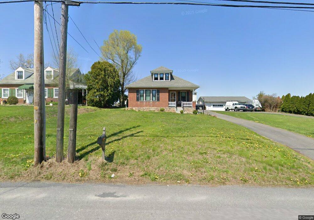
4098 Division Hwy East Earl, PA 17519
Estimated Value: $313,000 - $386,000
2
Beds
2
Baths
1,295
Sq Ft
$265/Sq Ft
Est. Value
About This Home
This home is located at 4098 Division Hwy, East Earl, PA 17519 and is currently estimated at $342,633, approximately $264 per square foot. 4098 Division Hwy is a home located in Lancaster County with nearby schools including Garden Spot Middle School, Garden Spot Senior High School, and Crossroads Mennonite School.
Ownership History
Date
Name
Owned For
Owner Type
Purchase Details
Closed on
May 14, 2021
Sold by
Usner Dennis R and Estate Of Helen A Usner
Bought by
Hoover Ryan A
Current Estimated Value
Home Financials for this Owner
Home Financials are based on the most recent Mortgage that was taken out on this home.
Original Mortgage
$170,000
Outstanding Balance
$154,062
Interest Rate
3.1%
Mortgage Type
Construction
Estimated Equity
$188,571
Create a Home Valuation Report for This Property
The Home Valuation Report is an in-depth analysis detailing your home's value as well as a comparison with similar homes in the area
Home Values in the Area
Average Home Value in this Area
Purchase History
| Date | Buyer | Sale Price | Title Company |
|---|---|---|---|
| Hoover Ryan A | $260,000 | None Available |
Source: Public Records
Mortgage History
| Date | Status | Borrower | Loan Amount |
|---|---|---|---|
| Open | Hoover Ryan A | $170,000 |
Source: Public Records
Tax History Compared to Growth
Tax History
| Year | Tax Paid | Tax Assessment Tax Assessment Total Assessment is a certain percentage of the fair market value that is determined by local assessors to be the total taxable value of land and additions on the property. | Land | Improvement |
|---|---|---|---|---|
| 2025 | $3,023 | $168,800 | $56,100 | $112,700 |
| 2024 | $3,023 | $168,800 | $56,100 | $112,700 |
| 2023 | $2,979 | $168,800 | $56,100 | $112,700 |
| 2022 | $2,947 | $168,800 | $56,100 | $112,700 |
| 2021 | $2,900 | $168,800 | $56,100 | $112,700 |
| 2020 | $2,900 | $168,800 | $56,100 | $112,700 |
| 2019 | $2,869 | $168,800 | $56,100 | $112,700 |
| 2018 | $4,053 | $168,800 | $56,100 | $112,700 |
| 2017 | $2,707 | $130,000 | $32,300 | $97,700 |
| 2016 | $2,707 | $130,000 | $32,300 | $97,700 |
| 2015 | $752 | $130,000 | $32,300 | $97,700 |
| 2014 | $1,809 | $130,000 | $32,300 | $97,700 |
Source: Public Records
Map
Nearby Homes
- 210 Musser Rd
- 1258 Main St
- 529 Ranck Rd Unit 1
- 529 Ranck Rd Unit 2
- 529 Ranck Rd Unit 3
- 529 Ranck Rd Unit 4
- 529 Ranck Rd Unit 5
- 529 Ranck Rd Unit 9
- 529 Ranck Rd Unit 6
- 529 Ranck Rd Unit 8
- 529 Ranck Rd Unit 10
- 13 Amber Cir
- 391 E Jackson St
- 20 N Kinzer Ave
- 385 Valley View Dr
- 406 Brimmer Ave
- 148 E Broad St
- 144 W Conestoga St
- 5490 Division Hwy
- 205 E Main St
- 4090 Division Hwy
- 4110 Division Hwy
- 4078 Division Hwy
- 4123 Division Hwy
- 1086 Sunset Ave
- 4111 Division Hwy
- 4117 Division Hwy
- 1076 Sunset Ave
- 4131 Division Hwy
- 4139 Division Hwy
- 4150 Division Hwy
- 1068 Sunset Ave
- 4151 Division Hwy
- 4158 Division Hwy
- 1064 Sunset Ave
- 4166 Division Hwy
- 1063 Main St
- 1071 W Main St
- 1060 Sunset Ave
- 1075 Main St