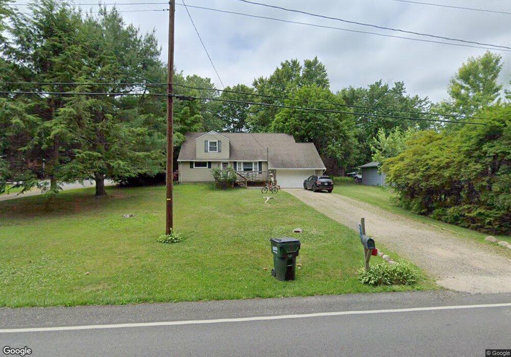
4099 New Milford Rd Rootstown, OH 44272
Estimated Value: $193,000 - $281,000
3
Beds
2
Baths
1,771
Sq Ft
$138/Sq Ft
Est. Value
About This Home
This home is located at 4099 New Milford Rd, Rootstown, OH 44272 and is currently estimated at $244,369, approximately $137 per square foot. 4099 New Milford Rd is a home located in Portage County with nearby schools including Rootstown Middle School - Schnee Building, Rootstown High School, and Ravenna Christian School.
Ownership History
Date
Name
Owned For
Owner Type
Purchase Details
Closed on
Mar 22, 2021
Sold by
Stier Julie A and Embick Julie A
Bought by
Johnson Christopher William and Polcyn Erin Cathleen
Current Estimated Value
Home Financials for this Owner
Home Financials are based on the most recent Mortgage that was taken out on this home.
Original Mortgage
$123,500
Outstanding Balance
$110,709
Interest Rate
2.7%
Mortgage Type
New Conventional
Estimated Equity
$133,660
Purchase Details
Closed on
Feb 26, 2002
Sold by
Embick Michael D
Bought by
Embick Julie A
Home Financials for this Owner
Home Financials are based on the most recent Mortgage that was taken out on this home.
Original Mortgage
$84,900
Interest Rate
6.92%
Purchase Details
Closed on
Nov 13, 1987
Bought by
Embick Michael D and Embick Julie
Create a Home Valuation Report for This Property
The Home Valuation Report is an in-depth analysis detailing your home's value as well as a comparison with similar homes in the area
Home Values in the Area
Average Home Value in this Area
Purchase History
| Date | Buyer | Sale Price | Title Company |
|---|---|---|---|
| Johnson Christopher William | $130,000 | Diamond Title Co | |
| Embick Julie A | -- | Approved Statewide Title Age | |
| Embick Michael D | $48,000 | -- |
Source: Public Records
Mortgage History
| Date | Status | Borrower | Loan Amount |
|---|---|---|---|
| Open | Johnson Christopher William | $123,500 | |
| Closed | Embick Julie A | $84,900 |
Source: Public Records
Tax History Compared to Growth
Tax History
| Year | Tax Paid | Tax Assessment Tax Assessment Total Assessment is a certain percentage of the fair market value that is determined by local assessors to be the total taxable value of land and additions on the property. | Land | Improvement |
|---|---|---|---|---|
| 2024 | $2,972 | $74,310 | $6,200 | $68,110 |
| 2023 | $2,279 | $50,610 | $5,460 | $45,150 |
| 2022 | $2,252 | $50,610 | $5,460 | $45,150 |
| 2021 | $2,251 | $50,610 | $5,460 | $45,150 |
| 2020 | $2,009 | $43,480 | $5,220 | $38,260 |
| 2019 | $2,015 | $43,480 | $5,220 | $38,260 |
| 2018 | $1,763 | $36,050 | $5,530 | $30,520 |
| 2017 | $1,763 | $36,050 | $5,530 | $30,520 |
| 2016 | $1,729 | $36,050 | $5,530 | $30,520 |
| 2015 | $1,749 | $36,050 | $5,530 | $30,520 |
| 2014 | $1,781 | $36,050 | $5,530 | $30,520 |
| 2013 | $1,769 | $36,050 | $5,530 | $30,520 |
Source: Public Records
Map
Nearby Homes
- 3987 J A Vaughn Ave
- 0 New Milford Rd Unit 11489599
- 0 New Milford Rd Unit 5108183
- 0 Lynn Rd Unit 5110102
- 4691 Scenic Dr
- 4770 Valley Hills Dr
- V/L 2 Lynn Rd
- V/L Lynn Rd
- sub lot Lane Ave
- 0 Rootstown Rd Unit 5173350
- 0 St Andrews Way Unit 5094250
- 3637 Old Forge Rd
- V/L St Andrews Way
- 5560 Wilkes Rd
- 3021 Hartville Rd
- 5659 State Route 14
- 4958 Bassett Rd
- 3401 Biltz Rd
- 2547 Industry Rd
- 2322 New Milford Rd
- 4109 New Milford Rd
- 4089 New Milford Rd
- 4092 New Milford Rd
- 4119 New Milford Rd
- 4795 Gower Rd
- 4076 New Milford Rd
- 4771 Tallmadge Rd
- 4816 Gower Rd
- 4153 New Milford Rd
- 4052 New Milford Rd
- 4809 Gower Rd
- 4044 New Milford Rd
- 4737 Tallmadge Rd
- 4144 New Milford Rd
- 4827 Gower Rd
- 4103 Reiss Rd
- 4109 Reiss Rd
- 4158 New Milford Rd
- 4039 New Milford Rd
- 4091 Reiss Rd