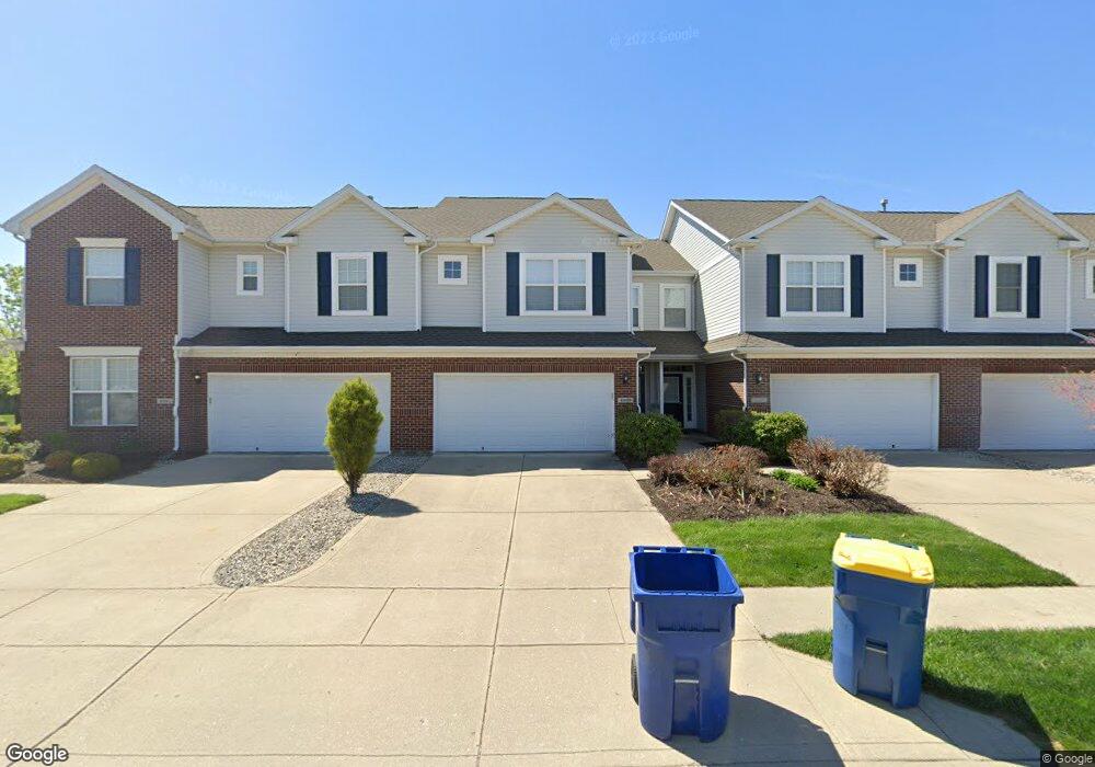
4099 Weston Pointe Dr Zionsville, IN 46077
West Carmel NeighborhoodEstimated Value: $289,000 - $308,000
3
Beds
3
Baths
1,684
Sq Ft
$176/Sq Ft
Est. Value
About This Home
This home is located at 4099 Weston Pointe Dr, Zionsville, IN 46077 and is currently estimated at $295,597, approximately $175 per square foot. 4099 Weston Pointe Dr is a home located in Hamilton County with nearby schools including Towne Meadow Elementary School, Creekside Middle School, and Carmel High School.
Ownership History
Date
Name
Owned For
Owner Type
Purchase Details
Closed on
Nov 13, 2007
Sold by
Portrait Homes Weston Pointe Llc
Bought by
Stark Cynthia
Current Estimated Value
Home Financials for this Owner
Home Financials are based on the most recent Mortgage that was taken out on this home.
Original Mortgage
$141,750
Outstanding Balance
$90,240
Interest Rate
6.5%
Mortgage Type
Purchase Money Mortgage
Estimated Equity
$205,357
Create a Home Valuation Report for This Property
The Home Valuation Report is an in-depth analysis detailing your home's value as well as a comparison with similar homes in the area
Home Values in the Area
Average Home Value in this Area
Purchase History
| Date | Buyer | Sale Price | Title Company |
|---|---|---|---|
| Stark Cynthia | -- | None Available |
Source: Public Records
Mortgage History
| Date | Status | Borrower | Loan Amount |
|---|---|---|---|
| Open | Stark Cynthia | $141,750 |
Source: Public Records
Tax History Compared to Growth
Tax History
| Year | Tax Paid | Tax Assessment Tax Assessment Total Assessment is a certain percentage of the fair market value that is determined by local assessors to be the total taxable value of land and additions on the property. | Land | Improvement |
|---|---|---|---|---|
| 2024 | $2,671 | $259,900 | $84,800 | $175,100 |
| 2023 | $2,671 | $268,800 | $37,000 | $231,800 |
| 2022 | $1,859 | $223,900 | $37,000 | $186,900 |
| 2021 | $1,859 | $187,600 | $37,000 | $150,600 |
| 2020 | $1,790 | $182,500 | $37,000 | $145,500 |
| 2019 | $1,675 | $175,000 | $37,000 | $138,000 |
| 2018 | $1,464 | $160,300 | $37,000 | $123,300 |
| 2017 | $1,404 | $153,800 | $37,000 | $116,800 |
| 2016 | $1,452 | $156,400 | $37,000 | $119,400 |
| 2014 | $1,192 | $143,300 | $37,000 | $106,300 |
Source: Public Records
Map
Nearby Homes
- 10739 Gettysburg Place
- 10680 Morristown Ct
- 3800 Richmond Ct
- 10890 Weston Dr
- 4141 W 116th St
- 10928 Valley Forge Cir
- 4514 Golden Eagle Ct
- 6330 Mayfield Ln
- 35 Spring Dr
- 11915 Kelso Dr Unit 2
- 4248 Stone Lake Dr
- 11864 Avedon Dr
- 3717 Zuker Ct
- 3853 Abney Highland Dr
- 11994 Greenfield Rd
- 3747 W 121st St
- 3733 W 121st St
- 5713 Upper Garden Way
- 10470 Roxley Bend
- 2987 Cameo Dr
- 4107 Weston Pointe Dr
- 4091 Weston Pointe Dr
- 4091 Weston Pointe Dr Unit 101
- 4115 Weston Pointe Dr
- 10897 Lemongrass Dr
- 3854 Constitution Dr
- 3856 Constitution Dr
- 4092 Weston Pointe Dr
- 4092 Weston Pointe Dr Unit Silver
- 4075 Weston Pointe Dr
- 10901 Lemongrass Dr
- 4084 Weston Pointe Dr
- 4084 Weston Pointe Dr Unit Oakmont
- 3858 Constitution Dr
- 4067 Weston Pointe Dr
- 10905 Lemongrass Dr
- 4078 Weston Pointe Dr
- 4078 Weston Pointe Dr Unit Ashland
- 3850 Constitution Dr
- 4070 Weston Pointe Dr