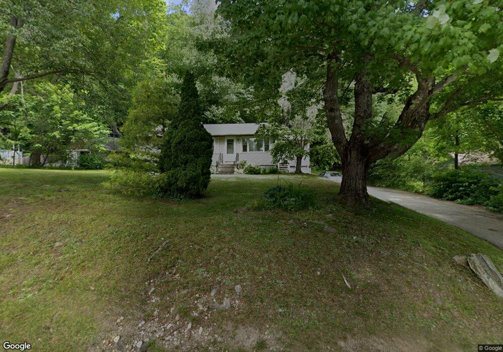
40A Dawson Rd Worcester, MA 01602
West Tatnuck NeighborhoodEstimated Value: $373,000 - $418,185
About This Home
This home is located at 40A Dawson Rd, Worcester, MA 01602 and is currently estimated at $389,546, approximately $374 per square foot. 40A Dawson Rd is a home located in Worcester County with nearby schools including Tatnuck Magnet School, Chandler Magnet, and Jacob Hiatt Magnet School.
Ownership History
We collect this data history from publicly available records. To have your information removed, we recommend requesting removal directly through your county’s website.
Purchase Details
Home Financials for this Owner
Home Financials are based on the most recent Mortgage that was taken out on this home.Home Values in the Area
Average Home Value in this Area
Purchase History
We collect this data history from publicly available records. To have your information removed, we recommend requesting removal directly through your county’s website.
| Date | Buyer | Sale Price | Title Company |
|---|---|---|---|
| $103,500 | -- |
Mortgage History
We collect this data history from publicly available records. To have your information removed, we recommend requesting removal directly through your county’s website.
| Date | Status | Borrower | Loan Amount |
|---|---|---|---|
| Open | $77,460 | ||
| Closed | $70,000 |
Tax History
We collect this data history from publicly available records. To have your information removed, we recommend requesting removal directly through your county’s website.
| Year | Tax Paid | Tax Assessment Tax Assessment Total Assessment is a certain percentage of the fair market value that is determined by local assessors to be the total taxable value of land and additions on the property. | Land | Improvement |
|---|---|---|---|---|
| 2025 | $4,610 | $349,500 | $120,100 | $229,400 |
| 2024 | $4,520 | $328,700 | $120,100 | $208,600 |
| 2023 | $4,358 | $303,900 | $104,500 | $199,400 |
| 2022 | $3,923 | $257,900 | $83,700 | $174,200 |
| 2021 | $3,754 | $230,600 | $67,100 | $163,500 |
| 2020 | $3,607 | $212,200 | $67,000 | $145,200 |
| 2019 | $3,393 | $188,500 | $60,700 | $127,800 |
| 2018 | $3,298 | $174,400 | $60,700 | $113,700 |
| 2017 | $3,344 | $174,000 | $60,700 | $113,300 |
| 2016 | $3,271 | $158,700 | $46,200 | $112,500 |
| 2015 | $3,185 | $158,700 | $46,200 | $112,500 |
| 2014 | $3,101 | $158,700 | $46,200 | $112,500 |
Map
- 14 Pinewood Ln
- 148A Tory Fort Ln
- 37 Moreland Green Dr
- 21 Salisbury Hill Blvd
- 45 Hickory Dr
- 29 Salisbury Hill Blvd Unit 9
- 7 Tideswell Ln Unit 7
- 31 Tory Fort Ln
- 26 Whisper Dr
- 7 Primmett Ln
- 3 Summerland Way Unit 3
- 158 Copperfield Rd
- 34 Wildrose Ave
- 2 Paradox Dr
- 20 Drexel St
- 60 Wrentham Rd
- 292 Fisher Rd
- 3 Barrows Rd
- 21 Rich St
- 1231 Pleasant St
Ask me questions while you tour the home.