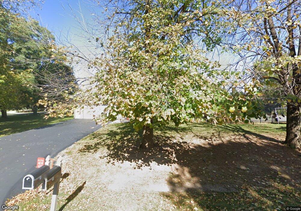
40W420 Apache Ln Unit 1 Huntley, IL 60142
Estimated Value: $419,000 - $471,000
4
Beds
3
Baths
2,306
Sq Ft
$193/Sq Ft
Est. Value
About This Home
This home is located at 40W420 Apache Ln Unit 1, Huntley, IL 60142 and is currently estimated at $446,135, approximately $193 per square foot. 40W420 Apache Ln Unit 1 is a home located in Kane County with nearby schools including Gilberts Elementary School, Dundee Middle School, and Hampshire High School.
Ownership History
Date
Name
Owned For
Owner Type
Purchase Details
Closed on
Aug 28, 2003
Sold by
Connor Dixie J and Connor Michael J
Bought by
Brehm Michael J and Brehm Deborah L
Current Estimated Value
Home Financials for this Owner
Home Financials are based on the most recent Mortgage that was taken out on this home.
Original Mortgage
$209,600
Outstanding Balance
$98,569
Interest Rate
6.44%
Mortgage Type
Purchase Money Mortgage
Estimated Equity
$347,566
Purchase Details
Closed on
Nov 27, 2000
Sold by
Dawson Brian E and Dawson Laura
Bought by
Connor Michael J and Connor Dixie J
Home Financials for this Owner
Home Financials are based on the most recent Mortgage that was taken out on this home.
Original Mortgage
$209,250
Interest Rate
7.83%
Create a Home Valuation Report for This Property
The Home Valuation Report is an in-depth analysis detailing your home's value as well as a comparison with similar homes in the area
Home Values in the Area
Average Home Value in this Area
Purchase History
| Date | Buyer | Sale Price | Title Company |
|---|---|---|---|
| Brehm Michael J | $262,000 | -- | |
| Connor Michael J | $232,500 | Attorneys Title Guaranty Fun |
Source: Public Records
Mortgage History
| Date | Status | Borrower | Loan Amount |
|---|---|---|---|
| Open | Brehm Michael J | $209,600 | |
| Previous Owner | Connor Michael J | $209,250 | |
| Closed | Brehm Michael J | $52,400 |
Source: Public Records
Tax History
| Year | Tax Paid | Tax Assessment Tax Assessment Total Assessment is a certain percentage of the fair market value that is determined by local assessors to be the total taxable value of land and additions on the property. | Land | Improvement |
|---|---|---|---|---|
| 2024 | $6,802 | $113,063 | $23,081 | $89,982 |
| 2023 | $6,555 | $102,246 | $20,873 | $81,373 |
| 2022 | $6,319 | $94,271 | $19,245 | $75,026 |
| 2021 | $6,143 | $88,667 | $18,101 | $70,566 |
| 2020 | $6,044 | $86,403 | $17,639 | $68,764 |
| 2019 | $5,878 | $82,929 | $16,930 | $65,999 |
| 2018 | $5,666 | $77,831 | $15,889 | $61,942 |
| 2017 | $5,487 | $74,118 | $15,131 | $58,987 |
| 2016 | $5,435 | $70,562 | $14,405 | $56,157 |
| 2015 | -- | $66,643 | $13,605 | $53,038 |
| 2014 | -- | $66,519 | $17,278 | $49,241 |
| 2013 | -- | $67,739 | $17,595 | $50,144 |
Source: Public Records
Map
Nearby Homes
- 18N647 Ridgefield Blvd
- 959 Sunburst Ln
- 918 Glacial Falls Dr
- 10558 Yellowstone Dr
- Lot 29 Ryann Rd
- lot 36 Ryann Rd
- 11061 Bayou Ct
- 11703 Barberry Ct
- 12178 White Tail Ln
- 12126 White Tail Ln
- 13664 Windy Prairie Dr
- 12230 Songbird Ln
- 12773 Horseshoe Trail
- Lot 277033 Galligan Rd
- Lot 480017 Galligan Rd
- Lot 499001 Galligan Rd
- 70 acres Galligan Rd
- Lot 230001 Galligan Rd
- 38W715 Huntley Rd
- 0 Princeton Dr
- 18N839 Barko Pkwy Unit 1
- 18N816 Aztec Ln
- 40W433 Apache Ln
- 18N861 Barko Pkwy
- 18N840 Aztec Ln
- 40W480 Apache Ln Unit 1
- 42 Apache Ln
- 40W457 Apache Ln
- 18N842 Barko Pkwy Unit 1
- 18N858 Aztec Ln
- 18N862 Barko Pkwy
- 18N883 Barko Pkwy
- 40W483 Apache Ln
- 18N780 Aztec Ln
- 18N886 Aztec Ln
- 40W344 Apache Ln
- 18N884 Barko Pkwy
- 40W339 Baron Ln
- 18N907 Barko Pkwy Unit 1
- 40W345 Apache Ln
Your Personal Tour Guide
Ask me questions while you tour the home.