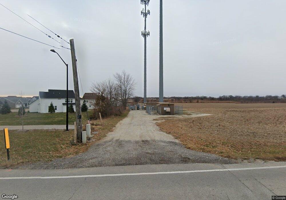
40W686 McDonald Rd Elgin, IL 60124
Bowes NeighborhoodEstimated Value: $428,782 - $739,000
--
Bed
--
Bath
2,158
Sq Ft
$250/Sq Ft
Est. Value
About This Home
This home is located at 40W686 McDonald Rd, Elgin, IL 60124 and is currently estimated at $538,946, approximately $249 per square foot. 40W686 McDonald Rd is a home located in Kane County with nearby schools including Howard B. Thomas Grade School, Prairie Knolls Middle School, and Central Middle School.
Ownership History
Date
Name
Owned For
Owner Type
Purchase Details
Closed on
Sep 15, 2010
Sold by
11 Woodview Drive Corp
Bought by
Vaughn Kevin
Current Estimated Value
Purchase Details
Closed on
Apr 27, 2005
Sold by
Cornelison Mona L and Cornelison Nancy L
Bought by
Rolling Oaks Farm Llc
Purchase Details
Closed on
May 10, 1995
Sold by
Vaughn Gerald R and Vaughn Bridget N
Bought by
Vaughn Gerald R and Vaughn Terence J
Create a Home Valuation Report for This Property
The Home Valuation Report is an in-depth analysis detailing your home's value as well as a comparison with similar homes in the area
Home Values in the Area
Average Home Value in this Area
Purchase History
| Date | Buyer | Sale Price | Title Company |
|---|---|---|---|
| Vaughn Kevin | -- | None Available | |
| Rolling Oaks Farm Llc | -- | -- | |
| Vaughn Gerald R | -- | -- |
Source: Public Records
Tax History Compared to Growth
Tax History
| Year | Tax Paid | Tax Assessment Tax Assessment Total Assessment is a certain percentage of the fair market value that is determined by local assessors to be the total taxable value of land and additions on the property. | Land | Improvement |
|---|---|---|---|---|
| 2024 | $9,210 | $119,852 | $31,322 | $88,530 |
| 2023 | $8,550 | $104,046 | $28,333 | $75,713 |
| 2022 | $8,188 | $96,558 | $24,917 | $71,641 |
| 2021 | $8,134 | $93,284 | $24,072 | $69,212 |
| 2020 | $8,112 | $91,607 | $23,639 | $67,968 |
| 2019 | $8,113 | $90,422 | $23,333 | $67,089 |
| 2018 | $7,797 | $87,376 | $25,650 | $61,726 |
| 2017 | $8,484 | $93,981 | $21,817 | $72,164 |
| 2016 | $9,008 | $91,751 | $21,299 | $70,452 |
| 2015 | -- | $82,608 | $21,299 | $61,309 |
| 2014 | -- | $82,608 | $21,299 | $61,309 |
| 2013 | -- | $84,020 | $21,663 | $62,357 |
Source: Public Records
Map
Nearby Homes
- 3689 Thornhill Dr
- 3660 Thornhill Dr
- 3646 Thornhill Dr
- 40W156 Sturbridge Way
- Newcastle Plan at Ponds of Stony Creek - Phase II
- at Ponds of Stony Creek - Phase II
- Windsor Plan at Ponds of Stony Creek - Phase II
- Bluestone Plan at Ponds of Stony Creek - Phase II
- 3616 Sahara Rd
- 3587 Sandstone Cir
- 3608 Sandstone Cir
- 3612 Sandstone Cir
- Auburn Plan at Ponds of Stony Creek - Phase II
- Manchester Plan at Ponds of Stony Creek - Phase II
- Normandy Plan at Ponds of Stony Creek - Phase II
- Ridgefield Plan at Ponds of Stony Creek - Phase II
- 3618 Sahara Rd
- Oxford Plan at Ponds of Stony Creek - Phase II
- 3615 Eldorado Rd
- 3620 Sahara Rd
- 40W622 McDonald Rd
- 40w McDonald Rd
- 1700 Corron Rd
- 40W818 McDonald Rd
- 4400 McDonald Rd
- 8N260 Corron Rd
- 4351 McDonald Rd
- 4351 McDonald Rd
- 8N382 Corron Rd
- 1 Corron Rd
- 8N369 Corron Rd
- 8N345 Corron Rd
- Lot 1 Corron Rd
- Lot 23 McDonald Rd
- 8N474 Crawford Rd
- 7N842 Corron Rd
- 8N466 Crawford Rd
- 8N466 Crawford Rd
- 40 McDonald Rd
- 41W086 McDonald Rd
