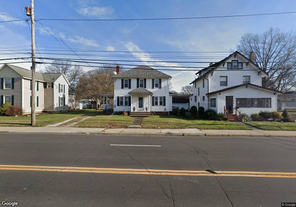
41 5th St NE Barberton, OH 44203
East Barberton NeighborhoodEstimated Value: $157,000 - $175,880
2
Beds
1
Bath
1,384
Sq Ft
$121/Sq Ft
Est. Value
About This Home
This home is located at 41 5th St NE, Barberton, OH 44203 and is currently estimated at $166,970, approximately $120 per square foot. 41 5th St NE is a home located in Summit County with nearby schools including Barberton Intermediate School 3-5, Barberton Middle School, and Barberton High School.
Ownership History
Date
Name
Owned For
Owner Type
Purchase Details
Closed on
May 8, 2024
Sold by
Spencer Karen
Bought by
Bracken Frederick
Current Estimated Value
Home Financials for this Owner
Home Financials are based on the most recent Mortgage that was taken out on this home.
Original Mortgage
$154,230
Outstanding Balance
$152,030
Interest Rate
6.79%
Mortgage Type
New Conventional
Estimated Equity
$14,940
Purchase Details
Closed on
Jan 24, 2018
Sold by
Brannon Helen Jean
Bought by
Spencer Karen
Home Financials for this Owner
Home Financials are based on the most recent Mortgage that was taken out on this home.
Original Mortgage
$61,171
Interest Rate
5.5%
Mortgage Type
FHA
Create a Home Valuation Report for This Property
The Home Valuation Report is an in-depth analysis detailing your home's value as well as a comparison with similar homes in the area
Home Values in the Area
Average Home Value in this Area
Purchase History
| Date | Buyer | Sale Price | Title Company |
|---|---|---|---|
| Bracken Frederick | $159,000 | None Listed On Document | |
| Spencer Karen | $31,150 | None Available | |
| Spencer Karen | $31,150 | None Available |
Source: Public Records
Mortgage History
| Date | Status | Borrower | Loan Amount |
|---|---|---|---|
| Open | Bracken Frederick | $154,230 | |
| Previous Owner | Spencer Karen | $61,171 | |
| Previous Owner | Spencer Karen | $3,115 |
Source: Public Records
Tax History Compared to Growth
Tax History
| Year | Tax Paid | Tax Assessment Tax Assessment Total Assessment is a certain percentage of the fair market value that is determined by local assessors to be the total taxable value of land and additions on the property. | Land | Improvement |
|---|---|---|---|---|
| 2025 | $2,270 | $45,402 | $8,953 | $36,449 |
| 2024 | $2,270 | $45,402 | $8,953 | $36,449 |
| 2023 | $2,270 | $45,402 | $8,953 | $36,449 |
| 2022 | $1,916 | $33,236 | $6,489 | $26,747 |
| 2021 | $1,914 | $33,236 | $6,489 | $26,747 |
| 2020 | $1,873 | $33,240 | $6,490 | $26,750 |
| 2019 | $1,564 | $25,130 | $6,490 | $18,640 |
| 2018 | $1,582 | $25,130 | $6,490 | $18,640 |
| 2017 | $1,422 | $25,130 | $6,490 | $18,640 |
| 2016 | $1,425 | $21,510 | $6,490 | $15,020 |
| 2015 | $1,422 | $21,510 | $6,490 | $15,020 |
| 2014 | $1,415 | $21,510 | $6,490 | $15,020 |
| 2013 | $1,671 | $26,480 | $6,490 | $19,990 |
Source: Public Records
Map
Nearby Homes
- 414 E Baird Ave
- 6 5th St NE
- 477 Robinson Ave
- 327 Robinson Ave
- 357 E Paige Ave
- 349 E Hopocan Ave
- 650 E Tuscarawas Ave
- 344 E Huston St
- 251 Slate Ridge Dr
- 532 Washington Ave
- 681 E Paige Ave
- 43 S Van Buren Ave
- 25 S Van Buren Ave
- 1110 Mansion Dr
- 311 Holly Place
- 588 Austin Dr
- 653 Washington Ave
- 412 Grandview Ave
- 46 Brown St
- 39 Brown St
- 41 5th St NE
- 37 5th St NE
- 47 5th St NE
- 459 E Ford Ave
- 456 E Baird Ave
- 55 5th St NE
- 463 E Ford Ave
- 460 E Baird Ave
- 25 5th St NE
- 454 E Ford Ave
- 38 5th St NE
- 460 464 E Ford Ave
- 46 5th St NE
- 460 E Ford Ave Unit 464
- 460 E Ford Ave Unit 464
- 468 E Baird Ave
- 471 E Ford Ave
- 54 5th St NE
- 24 5th St NE
- 468 E Ford Ave