Estimated Value: $756,000 - $1,230,922
4
Beds
2
Baths
2,362
Sq Ft
$428/Sq Ft
Est. Value
About This Home
This home is located at 41 Abrahamson Rd, Gray, ME 04039 and is currently estimated at $1,011,231, approximately $428 per square foot. 41 Abrahamson Rd is a home located in Cumberland County with nearby schools including Gray-New Gloucester High School.
Ownership History
Date
Name
Owned For
Owner Type
Purchase Details
Closed on
Nov 16, 2012
Sold by
Little Sebago Props Llc
Bought by
Zuckerman Lawrence J
Current Estimated Value
Home Financials for this Owner
Home Financials are based on the most recent Mortgage that was taken out on this home.
Original Mortgage
$300,000
Interest Rate
3.39%
Mortgage Type
Purchase Money Mortgage
Create a Home Valuation Report for This Property
The Home Valuation Report is an in-depth analysis detailing your home's value as well as a comparison with similar homes in the area
Home Values in the Area
Average Home Value in this Area
Purchase History
| Date | Buyer | Sale Price | Title Company |
|---|---|---|---|
| Zuckerman Lawrence J | -- | -- |
Source: Public Records
Mortgage History
| Date | Status | Borrower | Loan Amount |
|---|---|---|---|
| Closed | Zuckerman Lawrence J | $300,000 |
Source: Public Records
Tax History
| Year | Tax Paid | Tax Assessment Tax Assessment Total Assessment is a certain percentage of the fair market value that is determined by local assessors to be the total taxable value of land and additions on the property. | Land | Improvement |
|---|---|---|---|---|
| 2025 | $11,183 | $1,155,300 | $694,500 | $460,800 |
| 2024 | $11,206 | $1,155,300 | $694,500 | $460,800 |
| 2023 | $9,695 | $638,700 | $347,300 | $291,400 |
| 2022 | $8,910 | $638,700 | $347,300 | $291,400 |
| 2021 | $8,819 | $603,600 | $347,300 | $256,300 |
| 2020 | $8,903 | $603,600 | $347,300 | $256,300 |
| 2019 | $8,903 | $603,600 | $347,300 | $256,300 |
| 2018 | $8,415 | $601,100 | $347,300 | $253,800 |
| 2017 | $6,621 | $366,800 | $151,100 | $215,700 |
| 2016 | $6,690 | $365,600 | $151,100 | $214,500 |
| 2015 | $6,061 | $333,000 | $151,100 | $181,900 |
| 2014 | $6,061 | $333,000 | $151,100 | $181,900 |
| 2012 | $4,098 | $258,556 | $144,750 | $113,806 |
Source: Public Records
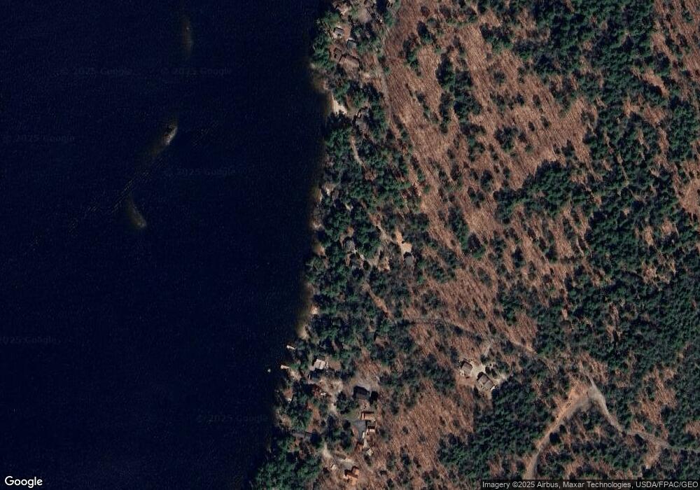
Map
Nearby Homes
- 34 Many Oaks Ln
- 15 Worcester Dr
- 7 Baxter Woods Trail
- lot #8 Bedrock Terrace
- 14 Sabbady Point Rd
- 99 Enterprise Dr
- 2 Gore Rd
- 14 Emerson Dr
- 1 Matinicus Way Unit 1
- 5 Sandbar Rd
- 30 Motorcycle Dr
- 20 Bittersweet Way
- 10 Abby Rd
- 34 Trails End Rd
- 2 Aerie Dr
- 34 Robin Ln
- 1083 Roosevelt Trail
- 11 Dragonfly Dr
- 18 Hillside Dr
- Lot #1 Chamberlain Dr
- 39 Abrahamson Rd
- 42 Abrahamson Rd
- 49 Abrahamson Rd
- 33 Abrahamson Rd
- 31 Abrahamson Rd
- 42 Waterview Rd
- 23 Abrahamson Rd
- 27 Abrahamson Rd
- 45 Knudsen Rd
- 21 Abrahamson Rd
- 19 Abrahamson Rd
- 40 Waterview Rd
- 17 Abrahamson Rd
- 38 Waterview Rd
- 13 Abrahamson Rd
- 18 Abrahamson Rd
- 99 Knudsen Rd
- 9 Abrahamson Rd
- 36 Waterview Rd
- 34 Waterview Rd
Your Personal Tour Guide
Ask me questions while you tour the home.