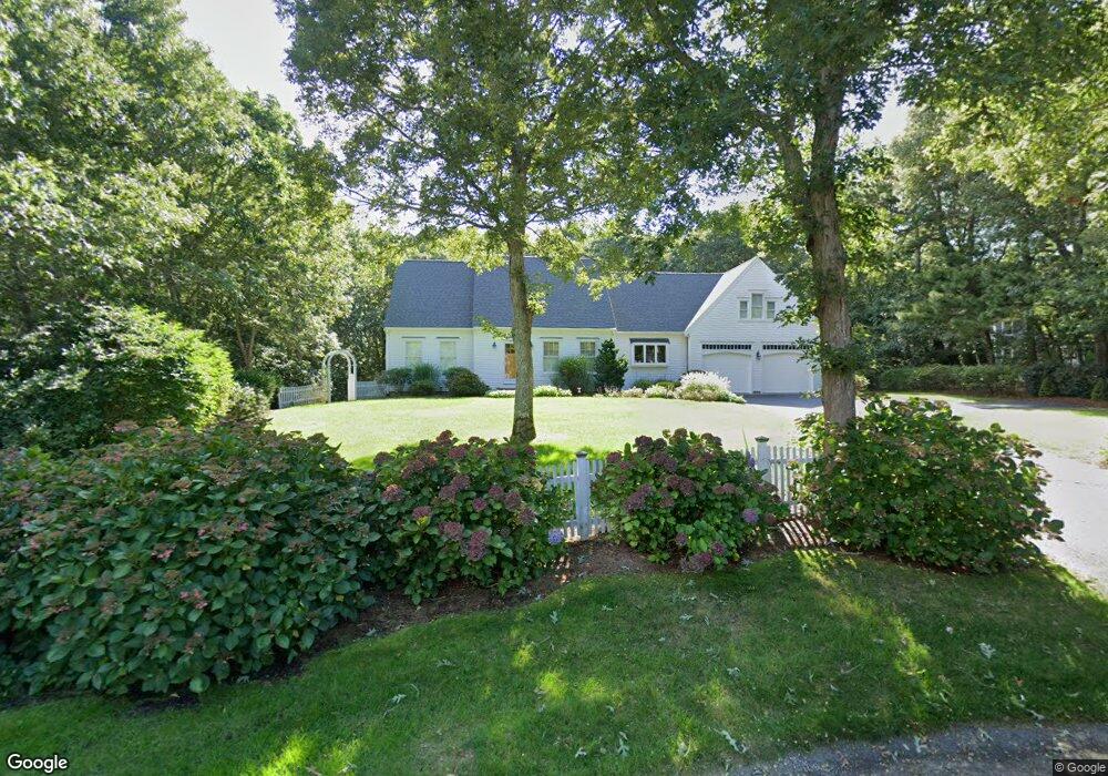
41 Alexander Dr Yarmouth Port, MA 02675
Yarmouth Port NeighborhoodEstimated Value: $981,000 - $1,149,579
3
Beds
3
Baths
3,400
Sq Ft
$317/Sq Ft
Est. Value
About This Home
This home is located at 41 Alexander Dr, Yarmouth Port, MA 02675 and is currently estimated at $1,078,895, approximately $317 per square foot. 41 Alexander Dr is a home located in Barnstable County with nearby schools including Dennis-Yarmouth Regional High School.
Ownership History
Date
Name
Owned For
Owner Type
Purchase Details
Closed on
Apr 27, 2006
Sold by
Purcell Robert F and Purcell Susan B
Bought by
King Cynthia J and King Robert J
Current Estimated Value
Home Financials for this Owner
Home Financials are based on the most recent Mortgage that was taken out on this home.
Original Mortgage
$525,000
Outstanding Balance
$304,058
Interest Rate
6.4%
Mortgage Type
Purchase Money Mortgage
Estimated Equity
$774,837
Create a Home Valuation Report for This Property
The Home Valuation Report is an in-depth analysis detailing your home's value as well as a comparison with similar homes in the area
Home Values in the Area
Average Home Value in this Area
Purchase History
| Date | Buyer | Sale Price | Title Company |
|---|---|---|---|
| King Cynthia J | $675,000 | -- |
Source: Public Records
Mortgage History
| Date | Status | Borrower | Loan Amount |
|---|---|---|---|
| Open | King Cynthia J | $525,000 |
Source: Public Records
Tax History Compared to Growth
Tax History
| Year | Tax Paid | Tax Assessment Tax Assessment Total Assessment is a certain percentage of the fair market value that is determined by local assessors to be the total taxable value of land and additions on the property. | Land | Improvement |
|---|---|---|---|---|
| 2025 | $7,677 | $1,084,300 | $261,500 | $822,800 |
| 2024 | $7,123 | $965,200 | $227,400 | $737,800 |
| 2023 | $6,843 | $843,800 | $191,900 | $651,900 |
| 2022 | $6,086 | $663,000 | $171,500 | $491,500 |
| 2021 | $5,939 | $621,200 | $171,500 | $449,700 |
| 2020 | $5,638 | $563,800 | $168,600 | $395,200 |
| 2019 | $5,209 | $515,700 | $168,600 | $347,100 |
| 2018 | $5,205 | $505,800 | $158,700 | $347,100 |
| 2017 | $5,068 | $505,800 | $158,700 | $347,100 |
| 2016 | $5,048 | $505,800 | $158,700 | $347,100 |
| 2015 | $5,095 | $507,500 | $158,700 | $348,800 |
Source: Public Records
Map
Nearby Homes
- 6 Nimble Hill Dr
- 59 Main St Unit 19-2
- 59 Route 6a Unit 29-4
- 44 Stratford Ln
- 51 Bray Farm Rd N
- 13 Covey Dr
- 64 Kates Path
- 34 Kates Path
- 34 Kates Path Unit 34
- 111 Merchant Ave
- 43 Canterbury Rd
- 228 Kates Path
- 17 Kates Path Unit A
- 268 Main St
- 42 John Hall Cartway Unit 42
- 50 John Hall Cartway
- 50 John Hall Cartway Unit 50
- 86 Pompano Rd
- 25 Oak Glen Village Unit 25
- 25 Oak Glen
- 42 Alexander Dr
- 39 Alexander Dr
- 40 Alexander Dr
- 24 Nicholas Dr
- 31 Alexander Dr
- 26 Nicholas Dr
- 21 Nimble Hill Dr
- 34 Alexander Dr
- 12 Nicholas Dr
- 18 Nicholas Dr
- 19 Alexander Dr
- 27 Nicholas Dr
- 15 Nimble Hill Dr
- 22 Nimble Hill Dr
- 32 Alexander Dr
- 28 Alexander Dr
- 13 Alexander Dr
- 8 Ironwood Ct
- 25 Nicholas Dr
- 14 Nimble Hill Dr