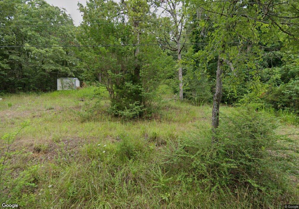
41 Algonquin Cir Cherokee Village, AR 72529
Estimated Value: $26,000 - $407,000
--
Bed
1
Bath
832
Sq Ft
$246/Sq Ft
Est. Value
About This Home
This home is located at 41 Algonquin Cir, Cherokee Village, AR 72529 and is currently estimated at $204,483, approximately $245 per square foot. 41 Algonquin Cir is a home located in Sharp County with nearby schools including Cherokee Elementary School, Highland Middle School, and Highland High School.
Ownership History
Date
Name
Owned For
Owner Type
Purchase Details
Closed on
Sep 10, 2012
Sold by
Stabbs James W
Bought by
Copeland Paul
Current Estimated Value
Purchase Details
Closed on
Aug 22, 2012
Sold by
Messer David L and Messer Jerry D
Bought by
Marshall Phillip
Purchase Details
Closed on
May 12, 2011
Sold by
Marshall Phillip
Bought by
Messer David L and Messer Jerry D
Home Financials for this Owner
Home Financials are based on the most recent Mortgage that was taken out on this home.
Original Mortgage
$23,900
Interest Rate
8%
Mortgage Type
Seller Take Back
Purchase Details
Closed on
Sep 25, 2009
Sold by
Clark William and Clark Christine
Bought by
Marshall Phillip A
Home Financials for this Owner
Home Financials are based on the most recent Mortgage that was taken out on this home.
Original Mortgage
$11,200
Interest Rate
5.36%
Mortgage Type
Purchase Money Mortgage
Create a Home Valuation Report for This Property
The Home Valuation Report is an in-depth analysis detailing your home's value as well as a comparison with similar homes in the area
Home Values in the Area
Average Home Value in this Area
Purchase History
| Date | Buyer | Sale Price | Title Company |
|---|---|---|---|
| Copeland Paul | $134,000 | None Available | |
| Marshall Phillip | -- | None Available | |
| Messer David L | $24,900 | None Available | |
| Marshall Phillip A | $14,000 | Homestead Abstract & Title I |
Source: Public Records
Mortgage History
| Date | Status | Borrower | Loan Amount |
|---|---|---|---|
| Previous Owner | Messer David L | $23,900 | |
| Previous Owner | Marshall Phillip A | $11,200 |
Source: Public Records
Tax History Compared to Growth
Tax History
| Year | Tax Paid | Tax Assessment Tax Assessment Total Assessment is a certain percentage of the fair market value that is determined by local assessors to be the total taxable value of land and additions on the property. | Land | Improvement |
|---|---|---|---|---|
| 2024 | $12 | $300 | $300 | $0 |
| 2023 | $12 | $300 | $300 | $0 |
| 2022 | $88 | $400 | $400 | $0 |
| 2021 | $88 | $400 | $400 | $0 |
| 2020 | $169 | $400 | $400 | $0 |
| 2019 | $173 | $500 | $500 | $0 |
| 2018 | $353 | $500 | $500 | $0 |
| 2017 | $188 | $4,980 | $500 | $4,480 |
| 2016 | $337 | $4,980 | $500 | $4,480 |
| 2015 | -- | $4,980 | $500 | $4,480 |
| 2014 | -- | $6,270 | $500 | $5,770 |
| 2013 | -- | $6,270 | $500 | $5,770 |
Source: Public Records
Map
Nearby Homes
- 000 Algonquin Cir
- 127 Algonquin Cir
- 16 Shoshone Cir
- 127 Algonquin Cir
- 22 S Wichita Cir
- 212 Hiawatha Dr
- L-4, B-6 Chickasaw Dr
- 9 Chickasaw Dr
- L-11, B-2 Yuma Trail
- 252 E Lakeshore Dr
- 246 E Lakeshore Dr
- 244 E Lakeshore Dr
- 0 Bittersweet Dr Unit 24026790
- 0 E Lakeshore Dr Unit 25031544
- 00 E Lakeshore Dr
- 000 E Lakeshore Dr
- Lot 58 Northwood Dr
- Lot 14 Northwood Dr
- 19 Willie May Dr
- L10, B01 Hiawatha Dr
- 1 Kiowa Dr
- 26 Kiowa Dr
- Lots 26 & 27 Kiowa Dr
- 34 Algonquin Cir
- 33 Algonquin Cir
- 37 Kiowa Dr
- L-10, B-26 White Dove Ln
- 298 E Lakeshore Dr
- 56 Kiowa Dr
- 29 Algonquin Cir
- 0 Samoset Center Unit algonquin circle
- 0 Samoset Center
- 4 Samoset Dr
- 88 Algonquin Cir
- 10 Shoshone Cir
- 8 Shoshone Cir
- 0 Shoshone Cir
- 14 Shoshone Cir
- 0 Algonquin Cir Unit 23035425
- 100 Algonquin Cir
