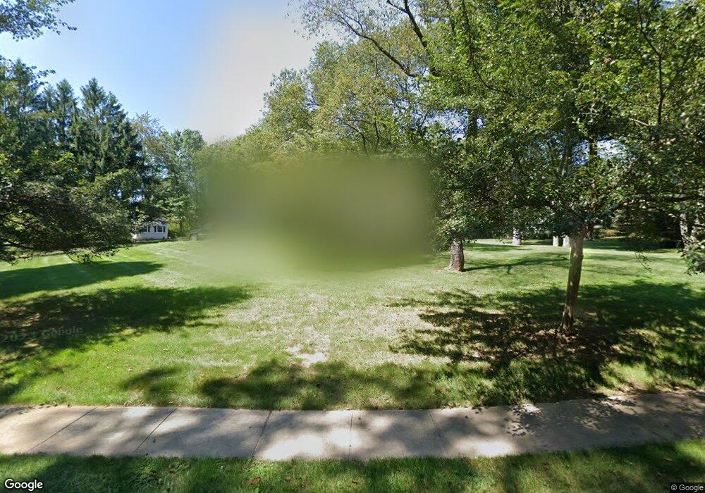
41 Autumn Dr Basking Ridge, NJ 07920
Estimated Value: $1,203,467 - $1,524,000
Studio
--
Bath
2,717
Sq Ft
$487/Sq Ft
Est. Value
About This Home
This home is located at 41 Autumn Dr, Basking Ridge, NJ 07920 and is currently estimated at $1,323,367, approximately $487 per square foot. 41 Autumn Dr is a home located in Somerset County with nearby schools including Oak Street Elementary School, William Annin Middle School, and Ridge High School.
Ownership History
Date
Name
Owned For
Owner Type
Purchase Details
Closed on
Jul 19, 2004
Sold by
Royer Edward W
Bought by
Kapp Andrew G and Kapp Mary F
Current Estimated Value
Home Financials for this Owner
Home Financials are based on the most recent Mortgage that was taken out on this home.
Original Mortgage
$443,000
Outstanding Balance
$222,907
Interest Rate
6.33%
Estimated Equity
$1,100,460
Create a Home Valuation Report for This Property
The Home Valuation Report is an in-depth analysis detailing your home's value as well as a comparison with similar homes in the area
Home Values in the Area
Average Home Value in this Area
Purchase History
| Date | Buyer | Sale Price | Title Company |
|---|---|---|---|
| Kapp Andrew G | $682,000 | -- |
Source: Public Records
Mortgage History
| Date | Status | Borrower | Loan Amount |
|---|---|---|---|
| Open | Kapp Andrew G | $443,000 |
Source: Public Records
Tax History
| Year | Tax Paid | Tax Assessment Tax Assessment Total Assessment is a certain percentage of the fair market value that is determined by local assessors to be the total taxable value of land and additions on the property. | Land | Improvement |
|---|---|---|---|---|
| 2025 | $17,361 | $1,066,500 | $390,400 | $676,100 |
| 2024 | $17,361 | $975,900 | $360,400 | $615,500 |
| 2023 | $16,221 | $860,100 | $360,400 | $499,700 |
| 2022 | $16,468 | $818,900 | $330,400 | $488,500 |
| 2021 | $15,574 | $738,100 | $330,400 | $407,700 |
| 2020 | $15,364 | $733,700 | $330,400 | $403,300 |
| 2019 | $15,241 | $749,300 | $340,600 | $408,700 |
| 2018 | $14,923 | $744,300 | $335,600 | $408,700 |
| 2017 | $14,595 | $733,800 | $335,600 | $398,200 |
| 2016 | $14,613 | $749,000 | $345,600 | $403,400 |
| 2015 | $14,412 | $752,200 | $370,800 | $381,400 |
| 2014 | $14,016 | $724,700 | $370,800 | $353,900 |
Source: Public Records
Map
Nearby Homes
Your Personal Tour Guide
Ask me questions while you tour the home.