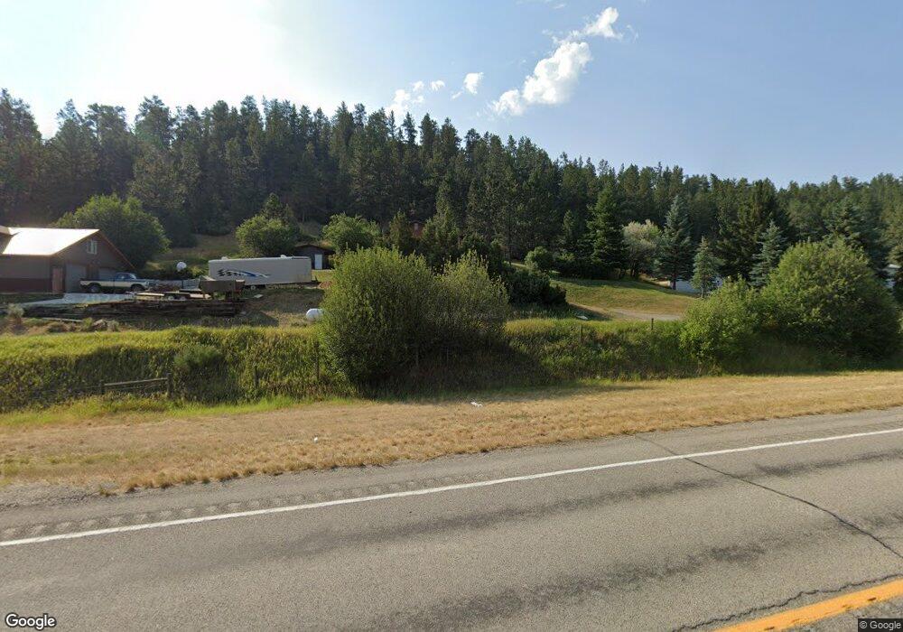
41 Barham Rd Columbus, MT 59019
Estimated Value: $341,000 - $469,000
2
Beds
1
Bath
1,344
Sq Ft
$297/Sq Ft
Est. Value
About This Home
This home is located at 41 Barham Rd, Columbus, MT 59019 and is currently estimated at $399,331, approximately $297 per square foot. 41 Barham Rd is a home located in Stillwater County with nearby schools including Columbus Elementary School and Columbus Middle School.
Ownership History
Date
Name
Owned For
Owner Type
Purchase Details
Closed on
Jan 22, 2013
Sold by
Mcdonald Stephanie
Bought by
Mcdonald Compercial Properties Llc
Current Estimated Value
Purchase Details
Closed on
Oct 15, 2012
Sold by
Howard Douglas D
Bought by
Mcdonald Stephanie and Allestad Stephanie
Purchase Details
Closed on
Nov 15, 2010
Sold by
Vowell Michael D and Vowell Joyce M
Bought by
Mcdonald Jonathan R
Home Financials for this Owner
Home Financials are based on the most recent Mortgage that was taken out on this home.
Original Mortgage
$162,711
Interest Rate
4.4%
Mortgage Type
FHA
Purchase Details
Closed on
Mar 15, 2010
Sold by
Arthun Angela Beth and Arthun Kevin Dale
Bought by
Vowell Michael D and Vowell Joyce M
Home Financials for this Owner
Home Financials are based on the most recent Mortgage that was taken out on this home.
Original Mortgage
$88,540
Interest Rate
4.93%
Create a Home Valuation Report for This Property
The Home Valuation Report is an in-depth analysis detailing your home's value as well as a comparison with similar homes in the area
Purchase History
| Date | Buyer | Sale Price | Title Company |
|---|---|---|---|
| Mcdonald Compercial Properties Llc | -- | -- | |
| Mcdonald Stephanie | -- | -- | |
| Mcdonald Jonathan R | -- | -- | |
| Vowell Michael D | -- | -- |
Source: Public Records
Mortgage History
| Date | Status | Borrower | Loan Amount |
|---|---|---|---|
| Previous Owner | Mcdonald Jonathan R | $162,711 | |
| Previous Owner | Vowell Michael D | $88,540 |
Source: Public Records
Tax History
| Year | Tax Paid | Tax Assessment Tax Assessment Total Assessment is a certain percentage of the fair market value that is determined by local assessors to be the total taxable value of land and additions on the property. | Land | Improvement |
|---|---|---|---|---|
| 2025 | $1,687 | $387,906 | $0 | $0 |
| 2024 | $2,228 | $330,000 | $0 | $0 |
| 2023 | $2,255 | $335,800 | $0 | $0 |
| 2022 | $1,716 | $230,900 | $0 | $0 |
| 2021 | $1,564 | $230,900 | $0 | $0 |
| 2020 | $1,684 | $219,500 | $0 | $0 |
| 2019 | $1,758 | $219,500 | $0 | $0 |
| 2018 | $1,512 | $207,500 | $0 | $0 |
| 2017 | $1,606 | $207,500 | $0 | $0 |
| 2016 | $1,469 | $191,800 | $0 | $0 |
| 2015 | $1,305 | $191,800 | $0 | $0 |
| 2014 | $1,157 | $92,326 | $0 | $0 |
Source: Public Records
Map
Nearby Homes
- 37 Barham Rd
- 91 Upper Hawk Valley Rd
- 79 Meyers Rd
- 79 Myers Rd
- 96 Wagon Trail Rd
- 147 Stillwater Loop
- 6 Shane Ridge Rd
- 42 Bozeman Trail
- 187 Shane Creek Rd
- 26 Yates Rd
- 94 Upper Flat Rd
- 30 Henry St
- 26 O'Dare Dr
- 27 Kestrel Trail
- 10 Alison Dr
- 12 Avis St
- 21 & 23 S Woodard Ave Unit 2 -HOMES For Price o
- 158 N Fork Eagle Mountain Rd
- A Johnson Dr Unit A
- 723 E 3rd Ave S
- 3906 Hwy 78
- 35 Barham Rd
- 35 Upper Hawk Valley Rd
- Tract # 31 Highway 78
- 11 Barham Rd
- 13 Barham Rd
- 32 Upper Hawk Valley Rd
- 22 Whitebird Creek Rd
- 66 Upper Hawk Valley Rd
- 32 Whitebird Creek Rd
- 51 Lower Hawk Valley Rd
- 16 Whitebird Creek Rd
- 4 Whitebird Creek Rd
- 49 Lower Hawk Valley Rd
- 49 Lower Hawk Valley Rd
- 0 Lower Hawk Valley Rd
- 1 Lower Hawk Valley Rd
- 45 Lower Hawk Valley Rd
- 11 Whitebird Fishing Access
- 2 Whitebird Creek Rd
Your Personal Tour Guide
Ask me questions while you tour the home.