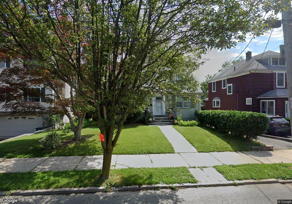
41 Barton Place Port Chester, NY 10573
Estimated Value: $632,031 - $710,000
3
Beds
1
Bath
1,396
Sq Ft
$477/Sq Ft
Est. Value
About This Home
This home is located at 41 Barton Place, Port Chester, NY 10573 and is currently estimated at $666,258, approximately $477 per square foot. 41 Barton Place is a home located in Westchester County with nearby schools including Port Chester Middle School, Port Chester Senior High School, and Corpus Christi Holy Rosary School.
Ownership History
Date
Name
Owned For
Owner Type
Purchase Details
Closed on
Aug 3, 2012
Sold by
Depippo Marianne and Hertzberg Claire R
Bought by
Depippo Philip and Depippo Marlanne
Current Estimated Value
Purchase Details
Closed on
Nov 4, 1999
Sold by
Colangelo John B and Stamm Frances Rock
Bought by
Depippo Marianne and Hertzberg Claire R
Home Financials for this Owner
Home Financials are based on the most recent Mortgage that was taken out on this home.
Original Mortgage
$183,920
Interest Rate
8.3%
Mortgage Type
Unknown
Create a Home Valuation Report for This Property
The Home Valuation Report is an in-depth analysis detailing your home's value as well as a comparison with similar homes in the area
Home Values in the Area
Average Home Value in this Area
Purchase History
| Date | Buyer | Sale Price | Title Company |
|---|---|---|---|
| Depippo Philip | -- | None Available | |
| Depippo Marianne | $209,000 | -- |
Source: Public Records
Mortgage History
| Date | Status | Borrower | Loan Amount |
|---|---|---|---|
| Previous Owner | Depippo Marianne | $183,920 |
Source: Public Records
Tax History Compared to Growth
Tax History
| Year | Tax Paid | Tax Assessment Tax Assessment Total Assessment is a certain percentage of the fair market value that is determined by local assessors to be the total taxable value of land and additions on the property. | Land | Improvement |
|---|---|---|---|---|
| 2024 | $10,365 | $502,500 | $175,300 | $327,200 |
| 2023 | $9,869 | $474,100 | $167,000 | $307,100 |
| 2022 | $9,007 | $455,900 | $167,000 | $288,900 |
| 2021 | $9,615 | $410,700 | $167,000 | $243,700 |
| 2020 | $8,539 | $410,700 | $167,000 | $243,700 |
| 2019 | $10,017 | $337,900 | $137,400 | $200,500 |
| 2018 | $17,454 | $337,000 | $132,100 | $204,900 |
| 2017 | $1,464 | $328,200 | $127,900 | $200,300 |
| 2016 | $7,502 | $332,400 | $141,200 | $191,200 |
| 2015 | -- | $302,800 | $127,800 | $175,000 |
| 2014 | -- | $319,100 | $124,000 | $195,100 |
| 2013 | -- | $324,000 | $121,300 | $202,700 |
Source: Public Records
Map
Nearby Homes
- 180 Fairview Ave
- 431 Irving Ave
- 72 Glendale Place
- 11 Whittemore Place
- 256 N Regent St
- 247 N Regent St
- 15 Maywood Ave
- 70 Davenport Ave
- 60 Lafayette Dr
- 22 Ridge Blvd
- 283 Neuton Ave
- 395 Westchester Ave Unit 3A
- 395 Westchester Ave Unit LC
- 263 N Regent St
- 29 Clermont Ave
- 377 Westchester Ave Unit 6C
- 377 Westchester Ave Unit 5N
- 410 Westchester Ave Unit 202
- 485 Westchester Ave
- 106 Puritan Dr