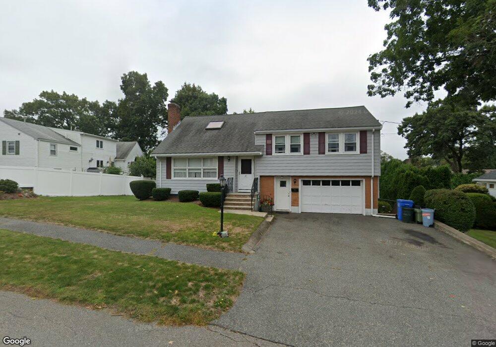
41 Beaver Brook Rd Waltham, MA 02452
North Waltham NeighborhoodEstimated Value: $899,000 - $1,203,000
4
Beds
3
Baths
2,119
Sq Ft
$508/Sq Ft
Est. Value
About This Home
This home is located at 41 Beaver Brook Rd, Waltham, MA 02452 and is currently estimated at $1,076,112, approximately $507 per square foot. 41 Beaver Brook Rd is a home located in Middlesex County with nearby schools including Northeast Elementary School, John F Kennedy Middle School, and Waltham Sr High School.
Ownership History
Date
Name
Owned For
Owner Type
Purchase Details
Closed on
Mar 26, 2013
Sold by
Iannelli Nicholas P and Iannelli Claire L
Bought by
Nicholas P Iannelli Ft
Current Estimated Value
Purchase Details
Closed on
Jun 18, 2010
Sold by
Iannelli Claire L
Bought by
Claire L Iannelli Ft
Purchase Details
Closed on
Sep 14, 1994
Sold by
Ferracane June A Est
Bought by
Iannelli Nicholas P
Home Financials for this Owner
Home Financials are based on the most recent Mortgage that was taken out on this home.
Original Mortgage
$96,000
Interest Rate
8.38%
Mortgage Type
Purchase Money Mortgage
Create a Home Valuation Report for This Property
The Home Valuation Report is an in-depth analysis detailing your home's value as well as a comparison with similar homes in the area
Home Values in the Area
Average Home Value in this Area
Purchase History
| Date | Buyer | Sale Price | Title Company |
|---|---|---|---|
| Nicholas P Iannelli Ft | -- | -- | |
| Iannelli Nicholas P | -- | -- | |
| Claire L Iannelli Ft | -- | -- | |
| Iannelli Nicholas P | $120,000 | -- |
Source: Public Records
Mortgage History
| Date | Status | Borrower | Loan Amount |
|---|---|---|---|
| Previous Owner | Iannelli Nicholas P | $96,000 |
Source: Public Records
Tax History Compared to Growth
Tax History
| Year | Tax Paid | Tax Assessment Tax Assessment Total Assessment is a certain percentage of the fair market value that is determined by local assessors to be the total taxable value of land and additions on the property. | Land | Improvement |
|---|---|---|---|---|
| 2025 | $8,764 | $892,500 | $460,100 | $432,400 |
| 2024 | $8,415 | $872,900 | $438,500 | $434,400 |
| 2023 | $8,387 | $812,700 | $398,700 | $414,000 |
| 2022 | $8,097 | $726,800 | $390,700 | $336,100 |
| 2021 | $4,806 | $687,500 | $374,800 | $312,700 |
| 2020 | $4,785 | $635,100 | $350,800 | $284,300 |
| 2019 | $7,850 | $620,100 | $335,800 | $284,300 |
| 2018 | $4,409 | $570,400 | $311,000 | $259,400 |
| 2017 | $6,814 | $542,500 | $283,100 | $259,400 |
| 2016 | $6,493 | $530,500 | $271,100 | $259,400 |
| 2015 | $6,272 | $477,700 | $243,200 | $234,500 |
Source: Public Records
Map
Nearby Homes
- 38 Van Vechten St
- 45 Chase Rd
- 9 Stanley Rd
- 100 Shirley Rd
- 26 Brookfield Rd
- 51 S Cottage Rd Unit 112
- 50 Moraine St
- 51 Harrington St Unit 51
- 51 Harrington St Unit 53
- 236 Sycamore St
- 1 Bridgham Ave
- 253 Sycamore St Unit 253
- 36 Hollace St
- 55-57 Hawthorne St
- 160 Waverley St
- 135 Marsh St
- 23 Centre Ave
- 70 Rosewood Dr
- 72-74 Flett Rd
- 116 Raffaele Dr
- 111 Mallard Way
- 35 Beaver Brook Rd
- 92 Briarwood Rd
- 86 Briarwood Rd
- 125 Mallard Way
- 29 Beaver Brook Rd
- 44 Beaver Brook Rd
- 40 Beaver Brook Rd
- 80 Briarwood Rd
- 110 Mallard Way
- 30 Beaver Brook Rd
- 118 Mallard Way
- 23 Beaver Brook Rd
- 102 Mallard Way
- 126 Mallard Way
- 85 Mallard Way
- 69 Mallard Way
- 76 Briarwood Rd
- 96 Mallard Way
- 24 Beaver Brook Rd