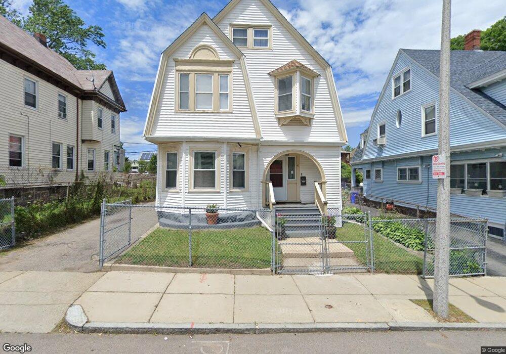
41 Bloomfield St Dorchester Center, MA 02124
Fields Corner West NeighborhoodEstimated Value: $726,982 - $900,000
4
Beds
3
Baths
2,466
Sq Ft
$317/Sq Ft
Est. Value
About This Home
This home is located at 41 Bloomfield St, Dorchester Center, MA 02124 and is currently estimated at $782,496, approximately $317 per square foot. 41 Bloomfield St is a home located in Suffolk County with nearby schools including UP Academy Charter School of Dorchester and Codman Academy Charter Public School.
Ownership History
Date
Name
Owned For
Owner Type
Purchase Details
Closed on
Jan 10, 2003
Sold by
George Eulanimie Lf and George Deborah A
Bought by
Newton Fitzroy and Newton Delores
Current Estimated Value
Purchase Details
Closed on
Jun 23, 1995
Sold by
Bloomfield St Rt 41
Bought by
George Eulanimie L and George Deborah A
Purchase Details
Closed on
Sep 29, 1994
Sold by
Warner Hattie and Chemical Bk Tr
Bought by
Bloomfield St Rt 41
Create a Home Valuation Report for This Property
The Home Valuation Report is an in-depth analysis detailing your home's value as well as a comparison with similar homes in the area
Home Values in the Area
Average Home Value in this Area
Purchase History
| Date | Buyer | Sale Price | Title Company |
|---|---|---|---|
| Newton Fitzroy | $305,000 | -- | |
| George Eulanimie L | $95,000 | -- | |
| Bloomfield St Rt 41 | $35,100 | -- |
Source: Public Records
Mortgage History
| Date | Status | Borrower | Loan Amount |
|---|---|---|---|
| Open | Bloomfield St Rt 41 | $263,500 |
Source: Public Records
Tax History Compared to Growth
Tax History
| Year | Tax Paid | Tax Assessment Tax Assessment Total Assessment is a certain percentage of the fair market value that is determined by local assessors to be the total taxable value of land and additions on the property. | Land | Improvement |
|---|---|---|---|---|
| 2025 | $6,331 | $546,700 | $207,500 | $339,200 |
| 2024 | $5,693 | $522,300 | $189,500 | $332,800 |
| 2023 | $5,243 | $488,200 | $177,100 | $311,100 |
| 2022 | $4,871 | $447,700 | $162,400 | $285,300 |
| 2021 | $4,375 | $410,000 | $154,700 | $255,300 |
| 2020 | $4,278 | $405,100 | $147,400 | $257,700 |
| 2019 | $3,955 | $375,200 | $120,200 | $255,000 |
| 2018 | $3,575 | $341,100 | $120,200 | $220,900 |
| 2017 | $3,571 | $337,200 | $120,200 | $217,000 |
| 2016 | $3,566 | $324,200 | $120,200 | $204,000 |
| 2015 | $3,532 | $291,700 | $101,500 | $190,200 |
| 2014 | $3,398 | $270,100 | $101,500 | $168,600 |
Source: Public Records
Map
Nearby Homes
- 113 Dakota St
- 23 Tonawanda St
- 98 Topliff St
- 8 Ridgewood St
- 83 Topliff St
- 31 Corona St
- 41 Holiday St
- 24 Alpha Rd Unit 1
- 49 Alpha Rd
- 407 Washington St Unit 5
- 31 Tremlett St
- 10 Gaylord St
- 139 Bowdoin St
- 28 Melville Ave
- 10 School St
- 43 Robinson St Unit 3
- 57 Mather St
- 1 Dever St
- 15 Mather St
- 69 Mount Ida Rd Unit 1
- 37 Bloomfield St
- 45 Bloomfield St
- 33 Bloomfield St
- 51 Bloomfield St
- 115 Dakota St
- 115 Dakota St Unit 2
- 115 Dakota St Unit 1
- 42 Bloomfield St
- 46 Bloomfield St
- 29 Bloomfield St
- 119 Dakota St
- 38 Bloomfield St
- 38 Bloomfield St Unit 3
- 50 Bloomfield St
- 57 Bloomfield St
- 57 Bloomfield St Unit 2
- 99 Dakota St
- 123 Dakota St
- 34 Bloomfield St
- 25 Bloomfield St