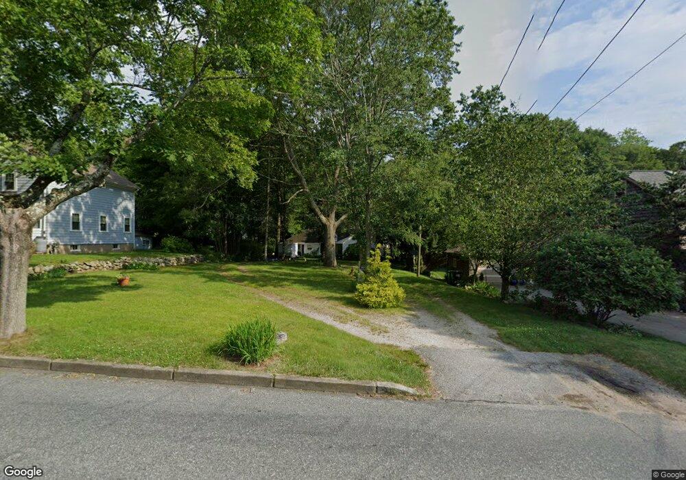
41 Broad Rock Rd Wakefield, RI 02879
Estimated Value: $459,537 - $686,000
3
Beds
1
Bath
1,204
Sq Ft
$472/Sq Ft
Est. Value
About This Home
This home is located at 41 Broad Rock Rd, Wakefield, RI 02879 and is currently estimated at $568,634, approximately $472 per square foot. 41 Broad Rock Rd is a home located in Washington County with nearby schools including South Kingstown High School, Monsignor Matthew Clarke Catholic Regional School, and Bradley School-South.
Ownership History
Date
Name
Owned For
Owner Type
Purchase Details
Closed on
Oct 7, 2010
Sold by
Us Army Corps Engineer
Bought by
Michaud Marie
Current Estimated Value
Purchase Details
Closed on
Nov 18, 2005
Sold by
Reifsteck Daniel M and Reifsteck Medelise M
Bought by
Fahy Jason P and Fahy Jaime E
Home Financials for this Owner
Home Financials are based on the most recent Mortgage that was taken out on this home.
Original Mortgage
$327,845
Interest Rate
6.07%
Mortgage Type
Purchase Money Mortgage
Purchase Details
Closed on
Jul 23, 2004
Sold by
Beaudet Grace D
Bought by
Reifsteck Daniel M
Home Financials for this Owner
Home Financials are based on the most recent Mortgage that was taken out on this home.
Original Mortgage
$164,000
Interest Rate
6.28%
Mortgage Type
Purchase Money Mortgage
Create a Home Valuation Report for This Property
The Home Valuation Report is an in-depth analysis detailing your home's value as well as a comparison with similar homes in the area
Home Values in the Area
Average Home Value in this Area
Purchase History
| Date | Buyer | Sale Price | Title Company |
|---|---|---|---|
| Michaud Marie | -- | -- | |
| Us Army Corps Engineer | $308,000 | -- | |
| Fahy Jason P | $323,250 | -- | |
| Reifsteck Daniel M | $205,000 | -- |
Source: Public Records
Mortgage History
| Date | Status | Borrower | Loan Amount |
|---|---|---|---|
| Previous Owner | Reifsteck Daniel M | $327,845 | |
| Previous Owner | Reifsteck Daniel M | $164,000 |
Source: Public Records
Tax History
| Year | Tax Paid | Tax Assessment Tax Assessment Total Assessment is a certain percentage of the fair market value that is determined by local assessors to be the total taxable value of land and additions on the property. | Land | Improvement |
|---|---|---|---|---|
| 2025 | $3,248 | $363,300 | $172,500 | $190,800 |
| 2024 | $3,150 | $285,100 | $132,600 | $152,500 |
| 2023 | $3,150 | $285,100 | $132,600 | $152,500 |
| 2022 | $3,122 | $285,100 | $132,600 | $152,500 |
| 2021 | $3,277 | $226,800 | $115,400 | $111,400 |
| 2020 | $3,277 | $226,800 | $115,400 | $111,400 |
| 2019 | $3,277 | $226,800 | $115,400 | $111,400 |
| 2018 | $3,186 | $203,200 | $107,400 | $95,800 |
| 2017 | $3,111 | $203,200 | $107,400 | $95,800 |
| 2016 | $3,066 | $203,200 | $107,400 | $95,800 |
| 2015 | $3,149 | $202,900 | $104,800 | $98,100 |
| 2014 | $3,141 | $202,900 | $104,800 | $98,100 |
Source: Public Records
Map
Nearby Homes
- 15 Jessica Ln
- 131 Columbia St
- 301 Church St Unit 103
- 20 Cleveland St
- 37 Columbia St
- 45 Cherry Ln Unit C
- 48 Stone Bridge Dr
- 39 Hazard Ave
- 143 Summit Ave
- 57 Rocky Brook Way
- 35 Abbey Rd
- 23 Rockland Dr
- 66 Christopher St
- 260 Sweet Allen Farm Rd Unit 3
- 13 Prospect Ave
- 1808 Kingstown Rd
- 39 Secluded Dr
- 56 Wanda St
- 54 Othmar St
- 216 S Pier Rd
- 35 Broad Rock Rd
- 49 Broad Rock Rd
- 25 Broad Rock Rd
- 53 Broad Rock Rd
- 36 Old Mountain Rd
- 28 Old Mountain Rd
- 46 Old Mountain Rd
- 21 Broad Rock Rd
- 22 Old Mountain Rd
- 61 Broad Rock Rd
- 40 Broad Rock Rd
- 34 Broad Rock Rd
- 48 Broad Rock Rd
- 16 Old Mountain Rd
- 54 Broad Rock Rd
- 20 Broad Rock Rd
- 67 Broad Rock Rd
- 895 Kingstown Rd
- 68 Old Mountain Rd
- 889 Kingstown Rd
Your Personal Tour Guide
Ask me questions while you tour the home.