41 Brookside Rd Unit 8 Thornton, NH 03285
Estimated Value: $600,000 - $845,000
About This Home
This home is located at 41 Brookside Rd Unit 8, Thornton, NH 03285 and is currently estimated at $702,521, approximately $250 per square foot. 41 Brookside Rd Unit 8 is a home located in Grafton County with nearby schools including Thornton Central School and Plymouth Regional High School.
Ownership History
We collect this data history from publicly available records. To have your information removed, we recommend requesting removal directly through your county’s website.
Purchase Details
Home Financials for this Owner
Home Financials are based on the most recent Mortgage that was taken out on this home.Purchase Details
Home Values in the Area
Average Home Value in this Area
Purchase History
We collect this data history from publicly available records. To have your information removed, we recommend requesting removal directly through your county’s website.
| Date | Buyer | Sale Price | Title Company |
|---|---|---|---|
| $407,533 | None Available | ||
| $11,600 | -- |
Mortgage History
We collect this data history from publicly available records. To have your information removed, we recommend requesting removal directly through your county’s website.
| Date | Status | Borrower | Loan Amount |
|---|---|---|---|
| Open | $326,000 | ||
| Previous Owner | $300,000 |
Tax History
We collect this data history from publicly available records. To have your information removed, we recommend requesting removal directly through your county’s website.
| Year | Tax Paid | Tax Assessment Tax Assessment Total Assessment is a certain percentage of the fair market value that is determined by local assessors to be the total taxable value of land and additions on the property. | Land | Improvement |
|---|---|---|---|---|
| 2025 | $8,292 | $706,300 | $0 | $706,300 |
| 2024 | $8,031 | $706,300 | $0 | $706,300 |
| 2023 | $7,162 | $345,000 | $0 | $345,000 |
| 2022 | $6,557 | $327,700 | $0 | $327,700 |
| 2021 | $6,806 | $327,700 | $0 | $327,700 |
| 2020 | $6,590 | $327,700 | $0 | $327,700 |
| 2019 | $6,121 | $327,700 | $0 | $327,700 |
| 2018 | $6,906 | $337,200 | $0 | $337,200 |
| 2017 | $6,589 | $337,200 | $0 | $337,200 |
| 2016 | $6,538 | $337,200 | $0 | $337,200 |
| 2015 | $6,441 | $337,200 | $0 | $337,200 |
| 2014 | $6,336 | $337,200 | $0 | $337,200 |
| 2013 | $7,114 | $387,900 | $0 | $387,900 |
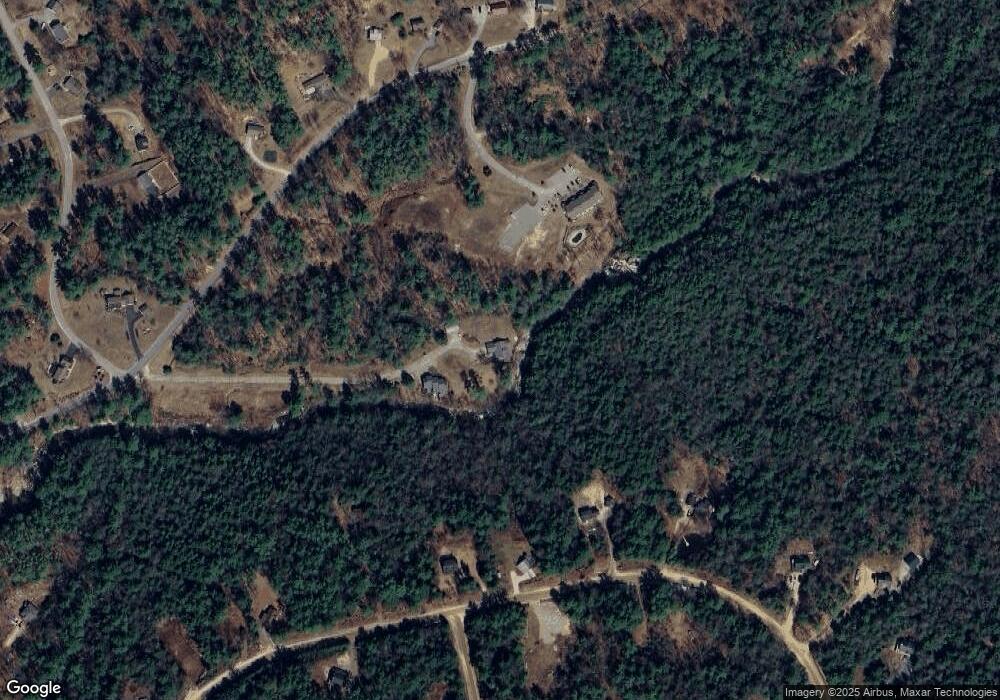
Map
- 23 Falls Rd Unit 1
- Lot 2 Covered Bridge Rd
- 00 Covered Bridge Rd Unit 51
- 0 Mountain View Dr Unit 20
- 151 Millbrook Rd
- 41 Fischer Mountain Rd
- 25 Mount Woodlands Rd
- 0 Waterthorn
- 00 Route 175 Unit 1
- 19 Sunrise Hill Rd
- 2 Lily Ln
- 15 Tennis Ln Unit B15
- 15 Tennis Ln Unit B-11
- 145 High Brook Rd
- 3481 Us Route 3
- 0 Melina's Way Unit 18
- 39 Melina's Way
- 3579 US Route 3
- 3039 US Route 3
- 3039 US Route 3 Unit Lot 1
- 0 Covered Bridge Rd
- 0 Covered Bridge Rd Unit 4181303
- 0 Covered Bridge Rd Unit 29 4951409
- 0 Covered Bridge Rd Unit 4141305
- 0 Covered Bridge Rd Unit 11 4905987
- 0 Covered Bridge Rd Unit 7 4898390
- 0 Covered Bridge Rd Unit 4048624
- 0 Covered Bridge Rd Unit 22 4870073
- 0 Covered Bridge Rd Unit 13 & 14 4860025
- 0 Covered Bridge Rd Unit 13 & 14 4860021
- 0 Covered Bridge Rd Unit 11-1-103 4855275
- 0 Covered Bridge Rd Unit 2 4794148
- 0 Covered Bridge Rd Unit 4217131
- 0 Covered Bridge Rd Unit 2 4677203
- 4 Brookside Rd
- 7 Covered Bridge Rd
- 11-1-90 Covered Bridge Rd
- 32 Covered Bridge Rd
- 14 Covered Bridge Rd
- 11 Covered Bridge Rd
Ask me questions while you tour the home.