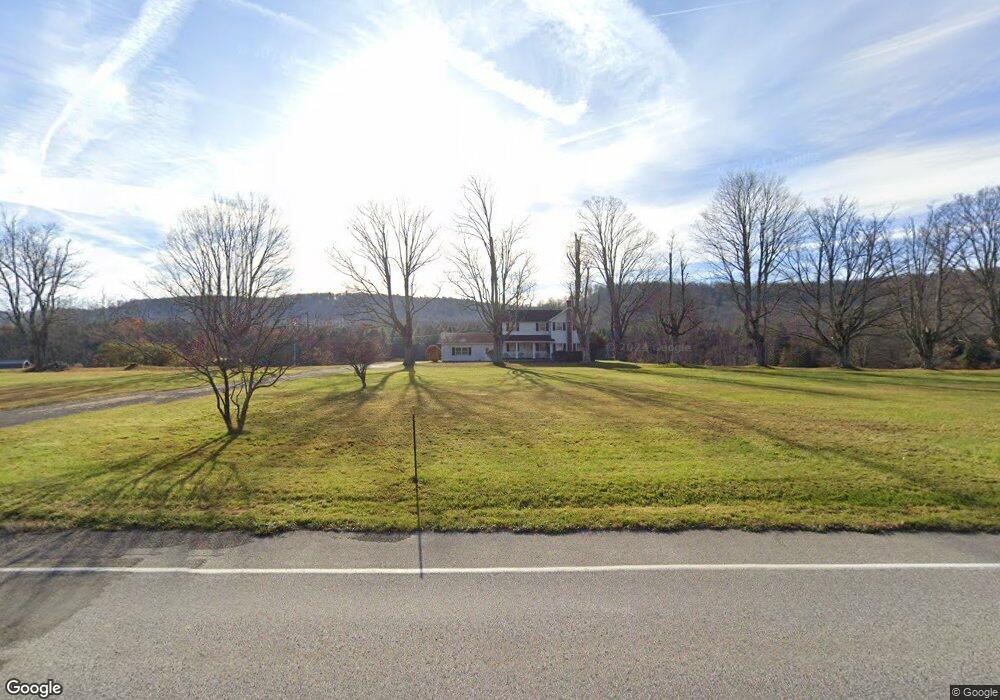
41 Brown Rd Pittsfield, PA 16340
Estimated Value: $153,297 - $242,000
4
Beds
2
Baths
1,871
Sq Ft
$102/Sq Ft
Est. Value
About This Home
This home is located at 41 Brown Rd, Pittsfield, PA 16340 and is currently estimated at $190,099, approximately $101 per square foot. 41 Brown Rd is a home located in Warren County with nearby schools including Youngsville Elementary/Middle School and Youngsville High School.
Ownership History
Date
Name
Owned For
Owner Type
Purchase Details
Closed on
Jan 15, 2025
Sold by
Barber Sherri
Bought by
Robison Jade L and Taylor Zachary M
Current Estimated Value
Home Financials for this Owner
Home Financials are based on the most recent Mortgage that was taken out on this home.
Original Mortgage
$219,450
Outstanding Balance
$217,899
Interest Rate
6.72%
Mortgage Type
New Conventional
Estimated Equity
-$27,800
Purchase Details
Closed on
Jan 1, 1959
Bought by
Brown Milton M
Create a Home Valuation Report for This Property
The Home Valuation Report is an in-depth analysis detailing your home's value as well as a comparison with similar homes in the area
Home Values in the Area
Average Home Value in this Area
Purchase History
| Date | Buyer | Sale Price | Title Company |
|---|---|---|---|
| Robison Jade L | $240,000 | None Listed On Document | |
| Brown Milton M | $4,500 | -- |
Source: Public Records
Mortgage History
| Date | Status | Borrower | Loan Amount |
|---|---|---|---|
| Open | Robison Jade L | $219,450 |
Source: Public Records
Tax History Compared to Growth
Tax History
| Year | Tax Paid | Tax Assessment Tax Assessment Total Assessment is a certain percentage of the fair market value that is determined by local assessors to be the total taxable value of land and additions on the property. | Land | Improvement |
|---|---|---|---|---|
| 2024 | $1,690 | $22,858 | $5,044 | $17,814 |
| 2023 | $2,036 | $22,858 | $5,044 | $17,814 |
| 2022 | $1,991 | $22,858 | $5,044 | $17,814 |
| 2021 | $1,979 | $22,858 | $5,044 | $17,814 |
| 2020 | $1,979 | $22,857 | $0 | $0 |
| 2019 | $1,928 | $22,858 | $5,044 | $17,814 |
| 2018 | $1,928 | $22,857 | $0 | $0 |
| 2017 | $1,885 | $22,858 | $5,044 | $17,814 |
| 2016 | $1,839 | $22,857 | $0 | $0 |
| 2015 | -- | $22,857 | $0 | $0 |
| 2014 | -- | $22,857 | $0 | $0 |
| 2013 | -- | $22,858 | $5,044 | $17,814 |
Source: Public Records
Map
Nearby Homes
- 9401 Route 27
- 480 Newton Rd
- 00 Buckley Rd
- 00 Buckley Rd Lot Unit WP001
- 12360 Route 27
- 2095 Church Hill
- 14231 Route 27
- 2662 Eureka Rd
- 0 Tubbs Rd
- Swede Rd
- 115 Extension Rd
- 1037 Buells Corners Rd
- 1 Main St
- 7720 Davey Hill Rd
- 233 Main St
- 250 Main St
- 1 Evans St
- 470 Charlie Ln
- 292 Shanley Rd
- 20524 Hatchtown Rd
- 9605 Route 27
- 150 Newton Rd
- 189 Newton Rd
- 160 Newton Rd
- 9365 Route 27
- 310 Newton Rd
- 10130 Route 27
- 380 Newton Rd
- 9225 Route 27
- 10185 Route 27
- 9197 State Route 27
- 10220 State Route 27
- 10243 Route 27
- 10345 Route 27
- 571 Newton Rd
- 9055 Route 27
- 40 Sparrow Ln
- 667 Newton Rd
- 667 Newton Rd
- 199 Buttermilk Ln