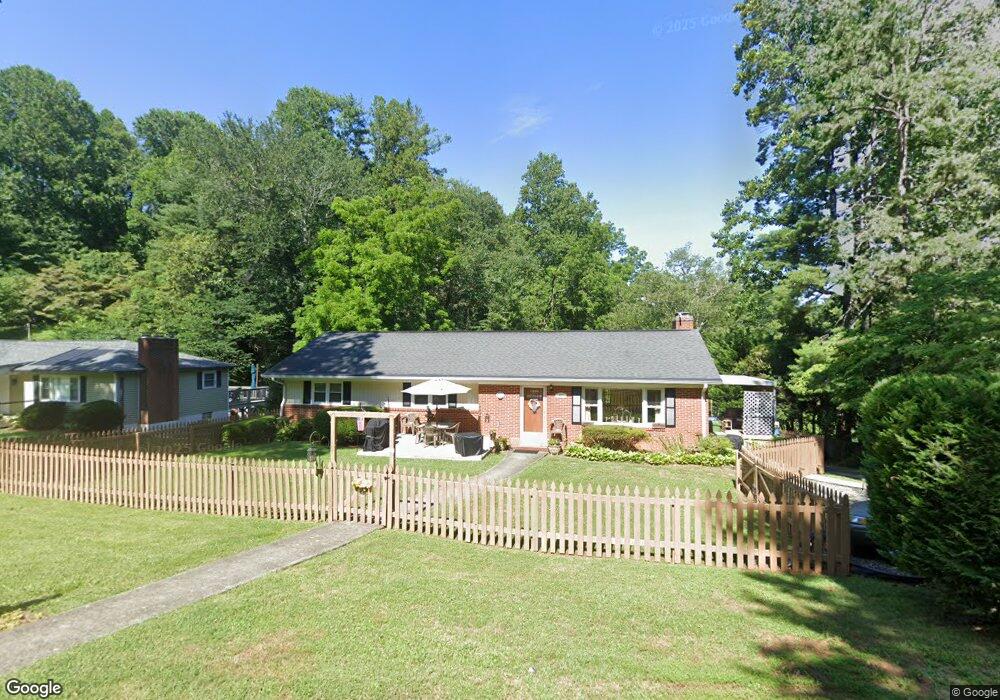
41 Carlton Place Asheville, NC 28806
West Asheville NeighborhoodEstimated Value: $486,029 - $542,000
3
Beds
3
Baths
1,908
Sq Ft
$269/Sq Ft
Est. Value
About This Home
This home is located at 41 Carlton Place, Asheville, NC 28806 and is currently estimated at $512,757, approximately $268 per square foot. 41 Carlton Place is a home located in Buncombe County with nearby schools including Hall Fletcher Elementary, Isaac Dickson Elementary, and Ira B Jones Elementary.
Ownership History
Date
Name
Owned For
Owner Type
Purchase Details
Closed on
Apr 22, 2010
Sold by
Rhew Grace R
Bought by
Sargent Michael B and Sargent Glenda R
Current Estimated Value
Home Financials for this Owner
Home Financials are based on the most recent Mortgage that was taken out on this home.
Original Mortgage
$168,000
Outstanding Balance
$104,755
Interest Rate
3.75%
Mortgage Type
New Conventional
Estimated Equity
$408,002
Create a Home Valuation Report for This Property
The Home Valuation Report is an in-depth analysis detailing your home's value as well as a comparison with similar homes in the area
Home Values in the Area
Average Home Value in this Area
Purchase History
| Date | Buyer | Sale Price | Title Company |
|---|---|---|---|
| Sargent Michael B | $210,000 | None Available |
Source: Public Records
Mortgage History
| Date | Status | Borrower | Loan Amount |
|---|---|---|---|
| Open | Sargent Michael B | $168,000 |
Source: Public Records
Tax History Compared to Growth
Tax History
| Year | Tax Paid | Tax Assessment Tax Assessment Total Assessment is a certain percentage of the fair market value that is determined by local assessors to be the total taxable value of land and additions on the property. | Land | Improvement |
|---|---|---|---|---|
| 2025 | $1,423 | $275,500 | $55,100 | $220,400 |
| 2024 | $1,423 | $275,500 | $55,100 | $220,400 |
| 2023 | $1,423 | $275,500 | $55,100 | $220,400 |
| 2022 | $1,374 | $275,500 | $0 | $0 |
| 2021 | $1,374 | $275,500 | $0 | $0 |
| 2020 | $1,285 | $238,500 | $0 | $0 |
| 2019 | $1,285 | $238,500 | $0 | $0 |
| 2018 | $1,285 | $238,500 | $0 | $0 |
| 2017 | $1,297 | $171,400 | $0 | $0 |
| 2016 | $1,053 | $171,400 | $0 | $0 |
| 2015 | $2,107 | $171,400 | $0 | $0 |
| 2014 | $2,081 | $171,400 | $0 | $0 |
Source: Public Records
Map
Nearby Homes
- 23 Laurel Loop
- 110 Providence Rd
- 16 Oak Hill Dr
- 108 Lager Ln Unit 108/110/112/103/105/
- 33 Wilshire Dr
- 0000 New Leicester Hwy
- 42 Mayday St
- 658 Emma Rd
- 14 Mountain Terrace
- 51 Baker Dr
- 379 N Louisiana Ave
- 1389 Patton Ave
- 27 Ormond Ave
- 42 Sheppard Dr
- 99999 Haywood Rd
- 5 Orrinel Way
- 27 Mauricet Ln
- 20 Rash Rd
- 7 Mauricet Ln
- 20 Cloyes St
- 37 Carlton Place
- 47 Carlton Place
- 38 Carlton Place
- 33 Carlton Place
- 42 Carlton Place
- 36 Carlton Place
- 27 Carlton Place
- 32 Carlton Place
- 61 Laurel Loop
- 65 Laurel Loop
- 51 Laurel Loop
- 69 Laurel Loop
- 49 Laurel Loop
- 47 Laurel Loop
- 23 Carlton Place
- 45 Laurel Loop
- 71 & 73 Laurel Loop Rd
- 30 Carlton Place
- 200 Providence Rd
- 35 Laurel Loop