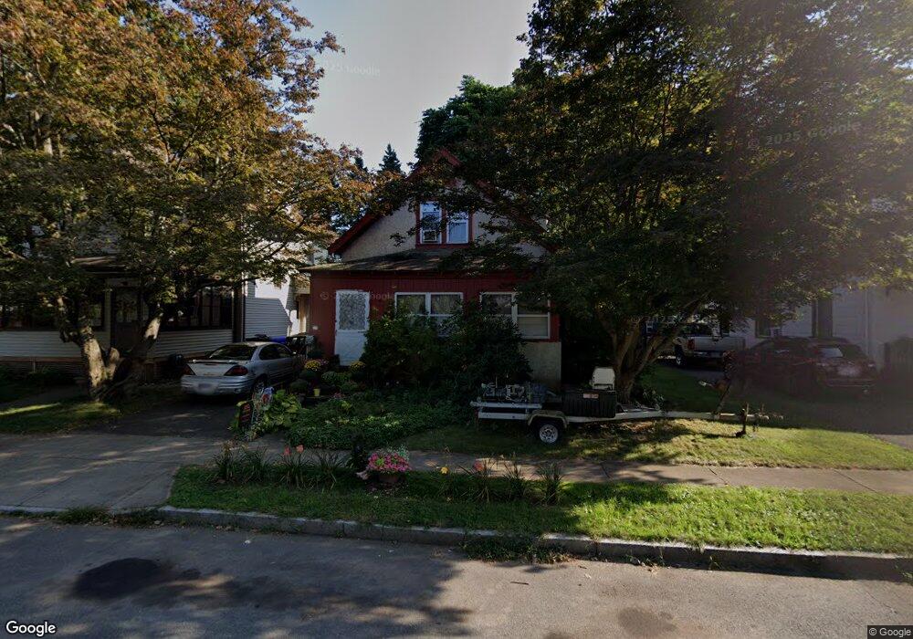
41 Catherine St Middletown, CT 06457
Estimated Value: $244,000 - $291,000
3
Beds
2
Baths
1,105
Sq Ft
$240/Sq Ft
Est. Value
About This Home
This home is located at 41 Catherine St, Middletown, CT 06457 and is currently estimated at $265,221, approximately $240 per square foot. 41 Catherine St is a home located in Middlesex County with nearby schools including Macdonough School, Middletown High School, and St John Paul II School.
Ownership History
Date
Name
Owned For
Owner Type
Purchase Details
Closed on
Dec 8, 1992
Sold by
Flynn Michael H
Bought by
Mccomish Jeffrey P
Current Estimated Value
Home Financials for this Owner
Home Financials are based on the most recent Mortgage that was taken out on this home.
Original Mortgage
$90,640
Interest Rate
2%
Mortgage Type
Unknown
Create a Home Valuation Report for This Property
The Home Valuation Report is an in-depth analysis detailing your home's value as well as a comparison with similar homes in the area
Purchase History
| Date | Buyer | Sale Price | Title Company |
|---|---|---|---|
| Mccomish Jeffrey P | $92,000 | -- |
Source: Public Records
Mortgage History
| Date | Status | Borrower | Loan Amount |
|---|---|---|---|
| Closed | Mccomish Jeffrey P | $75,000 | |
| Closed | Mccomish Jeffrey P | $90,640 | |
| Previous Owner | Mccomish Jeffrey P | $43,300 |
Source: Public Records
Tax History
| Year | Tax Paid | Tax Assessment Tax Assessment Total Assessment is a certain percentage of the fair market value that is determined by local assessors to be the total taxable value of land and additions on the property. | Land | Improvement |
|---|---|---|---|---|
| 2025 | $4,085 | $105,000 | $43,670 | $61,330 |
| 2024 | $3,864 | $105,000 | $43,670 | $61,330 |
| 2023 | $3,686 | $105,000 | $43,670 | $61,330 |
| 2022 | $3,527 | $80,170 | $15,970 | $64,200 |
| 2021 | $3,527 | $80,170 | $15,970 | $64,200 |
| 2020 | $3,544 | $80,170 | $15,970 | $64,200 |
| 2019 | $22,630 | $80,170 | $15,970 | $64,200 |
| 2018 | $3,503 | $80,170 | $15,970 | $64,200 |
| 2017 | $22,075 | $95,080 | $35,720 | $59,360 |
| 2016 | $3,917 | $95,080 | $35,720 | $59,360 |
| 2015 | $3,765 | $95,080 | $35,720 | $59,360 |
| 2014 | $3,803 | $95,080 | $35,720 | $59,360 |
Source: Public Records
Map
Nearby Homes
- 103 Grove St
- 565 High St
- 105 Spring St
- 41 Spring St
- 32 Spring St
- 25 Clinton Ave
- 132 Grand St
- 207 Pearl St
- 24 Saint Johns St
- 146 Liberty St
- 177 Pearl St
- 56 Green St
- 57 Ferry St
- 565 Newfield St Unit 34
- 480 Main St
- 54 Washington St
- 161 Cynthia Ln Unit E5
- 201 College St Unit 26
- 94 Cynthia Ln Unit D-5
- 94 Cynthia Ln Unit A6
- 43 Catherine St
- 35 Catherine St
- 47 Catherine St
- 51 Catherine St
- 42 Catherine St
- 40 Catherine St
- 40 Catherine St Unit 1
- 36 Catherine St
- 52 Catherine St
- 56 Catherine St
- 26 Catherine St
- 59 Catherine St
- 6 Ranger Ave
- 5 Ranger Ave
- 5 Ranger Ave Unit upper
- 90 Johnson St
- 4 Casper Ave
- 105 Johnson St
- 109 Johnson St
- 18 Catherine St
Your Personal Tour Guide
Ask me questions while you tour the home.