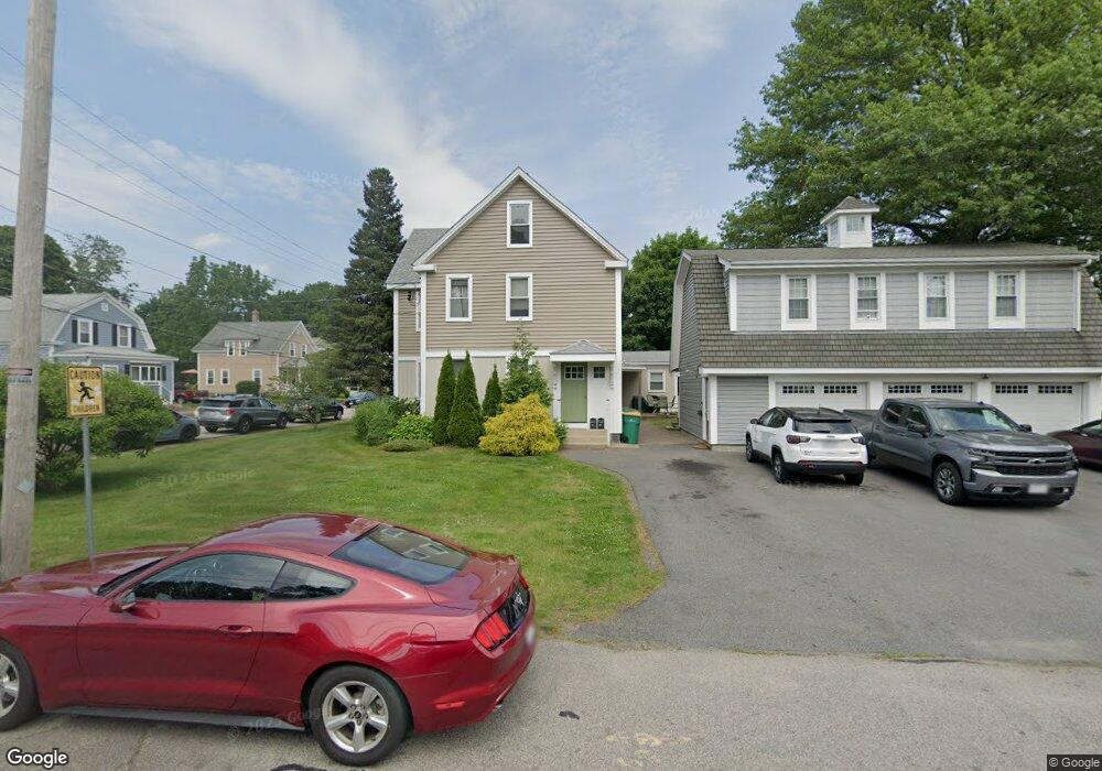
41 Central St Mansfield, MA 02048
Estimated Value: $701,000 - $893,000
6
Beds
3
Baths
3,088
Sq Ft
$266/Sq Ft
Est. Value
About This Home
This home is located at 41 Central St, Mansfield, MA 02048 and is currently estimated at $819,877, approximately $265 per square foot. 41 Central St is a home located in Bristol County with nearby schools including Everett W. Robinson Elementary School, Jordan/Jackson Elementary School, and Harold L. Qualters Middle School.
Ownership History
Date
Name
Owned For
Owner Type
Purchase Details
Closed on
Apr 28, 2000
Sold by
Murphy James M and Murphy Jessica L
Bought by
Cushing James S
Current Estimated Value
Home Financials for this Owner
Home Financials are based on the most recent Mortgage that was taken out on this home.
Original Mortgage
$194,400
Outstanding Balance
$63,577
Interest Rate
8.23%
Mortgage Type
Purchase Money Mortgage
Estimated Equity
$756,300
Purchase Details
Closed on
Sep 28, 1995
Sold by
Shamrock Rt
Bought by
Murphy James M and Beck Jessica L
Purchase Details
Closed on
Apr 27, 1995
Sold by
Wright Walter R
Bought by
Dimascio Perry M and Shamrock Rt
Create a Home Valuation Report for This Property
The Home Valuation Report is an in-depth analysis detailing your home's value as well as a comparison with similar homes in the area
Home Values in the Area
Average Home Value in this Area
Purchase History
| Date | Buyer | Sale Price | Title Company |
|---|---|---|---|
| Cushing James S | $243,000 | -- | |
| Murphy James M | $150,000 | -- | |
| Dimascio Perry M | $42,645 | -- |
Source: Public Records
Mortgage History
| Date | Status | Borrower | Loan Amount |
|---|---|---|---|
| Open | Dimascio Perry M | $194,400 | |
| Previous Owner | Dimascio Perry M | $50,000 | |
| Previous Owner | Dimascio Perry M | $168,750 |
Source: Public Records
Tax History
| Year | Tax Paid | Tax Assessment Tax Assessment Total Assessment is a certain percentage of the fair market value that is determined by local assessors to be the total taxable value of land and additions on the property. | Land | Improvement |
|---|---|---|---|---|
| 2025 | $8,417 | $639,100 | $217,600 | $421,500 |
| 2024 | $8,068 | $597,600 | $217,600 | $380,000 |
| 2023 | $8,420 | $597,600 | $217,600 | $380,000 |
| 2022 | $8,705 | $573,800 | $201,500 | $372,300 |
| 2021 | $2,609 | $543,600 | $176,300 | $367,300 |
| 2020 | $7,619 | $496,000 | $167,900 | $328,100 |
| 2019 | $6,843 | $449,600 | $139,900 | $309,700 |
| 2018 | $2,241 | $408,500 | $133,400 | $275,100 |
| 2017 | $5,732 | $381,600 | $129,500 | $252,100 |
| 2016 | $5,182 | $336,300 | $123,400 | $212,900 |
| 2015 | $4,748 | $306,300 | $123,400 | $182,900 |
Source: Public Records
Map
Nearby Homes
- 152 Central St
- 150 Rumford Ave Unit 110
- 166 Chauncy St
- 28 Court St
- 266 N Main St Unit 3
- 44 Fairfield Park Unit 44
- 22 Pleasant St Unit C
- 97 East St
- 81 Chilson Ave
- 122 Samoset Ave
- 25 Kingman Ave
- 46 Hope St
- 619 N Main St
- 4 Concetta Cir
- 356 Central St
- 1769 West St
- 7 Fieldstone Dr
- 1 Deer Path Ln
- 14 Windchime Dr
- 233 Central St
Your Personal Tour Guide
Ask me questions while you tour the home.