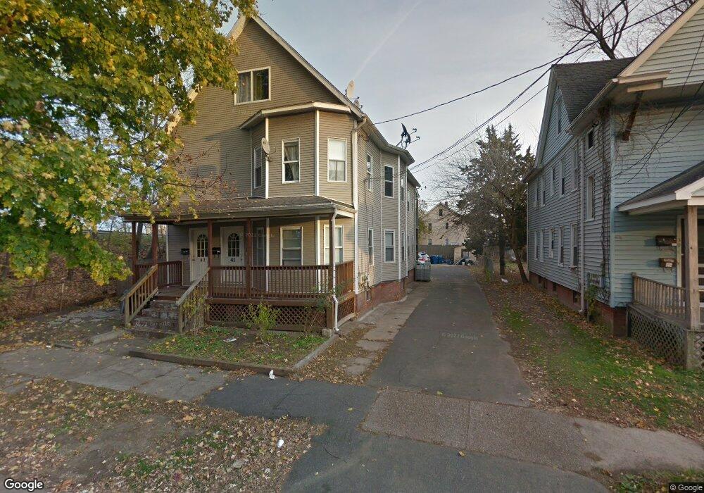
41 Colton Ave West Springfield, MA 01089
Estimated Value: $369,548 - $452,000
5
Beds
3
Baths
3,196
Sq Ft
$126/Sq Ft
Est. Value
About This Home
This home is located at 41 Colton Ave, West Springfield, MA 01089 and is currently estimated at $402,887, approximately $126 per square foot. 41 Colton Ave is a home located in Hampden County with nearby schools including Hampden Charter School of Science West.
Ownership History
Date
Name
Owned For
Owner Type
Purchase Details
Closed on
Jun 3, 2005
Sold by
Belyshev Dimitry V
Bought by
Chhoun Ngim
Current Estimated Value
Home Financials for this Owner
Home Financials are based on the most recent Mortgage that was taken out on this home.
Original Mortgage
$203,710
Outstanding Balance
$106,828
Interest Rate
5.83%
Mortgage Type
Purchase Money Mortgage
Estimated Equity
$296,059
Purchase Details
Closed on
Aug 27, 1998
Sold by
Cowles Wayne D
Bought by
Norwest Mtg Inc
Purchase Details
Closed on
Apr 30, 1992
Sold by
Leigner Alice P
Bought by
Cowles Wayne D
Home Financials for this Owner
Home Financials are based on the most recent Mortgage that was taken out on this home.
Original Mortgage
$113,038
Interest Rate
8.96%
Mortgage Type
Purchase Money Mortgage
Create a Home Valuation Report for This Property
The Home Valuation Report is an in-depth analysis detailing your home's value as well as a comparison with similar homes in the area
Home Values in the Area
Average Home Value in this Area
Purchase History
| Date | Buyer | Sale Price | Title Company |
|---|---|---|---|
| Chhoun Ngim | $223,000 | -- | |
| Norwest Mtg Inc | $132,797 | -- | |
| Cowles Wayne D | $112,900 | -- |
Source: Public Records
Mortgage History
| Date | Status | Borrower | Loan Amount |
|---|---|---|---|
| Open | Chhoun Ngim | $203,710 | |
| Previous Owner | Cowles Wayne D | $113,038 |
Source: Public Records
Tax History Compared to Growth
Tax History
| Year | Tax Paid | Tax Assessment Tax Assessment Total Assessment is a certain percentage of the fair market value that is determined by local assessors to be the total taxable value of land and additions on the property. | Land | Improvement |
|---|---|---|---|---|
| 2025 | $4,752 | $319,600 | $86,300 | $233,300 |
| 2024 | $4,733 | $319,600 | $86,300 | $233,300 |
| 2023 | $4,157 | $267,500 | $86,300 | $181,200 |
| 2022 | $4,243 | $269,200 | $78,300 | $190,900 |
| 2021 | $3,498 | $207,000 | $63,400 | $143,600 |
| 2020 | $3,517 | $207,000 | $63,400 | $143,600 |
| 2019 | $3,511 | $207,000 | $63,400 | $143,600 |
| 2018 | $3,529 | $207,000 | $63,400 | $143,600 |
| 2017 | $3,529 | $207,000 | $63,400 | $143,600 |
| 2016 | $3,474 | $204,500 | $60,900 | $143,600 |
| 2015 | $3,481 | $204,900 | $59,700 | $145,200 |
| 2014 | $845 | $204,900 | $59,700 | $145,200 |
Source: Public Records
Map
Nearby Homes
- 20 Sprague St
- 31 Russell St
- 37 Day St
- 78 Lowell St
- 13 Ringgold St
- 140 Chestnut St Unit 706
- 140 Chestnut St Unit 204
- 140 Chestnut St Unit 819
- 140 Chestnut St Unit 607
- 140 Chestnut St Unit 210
- 140 Chestnut St Unit 202
- 140 Chestnut St Unit 604
- 140 Chestnut St Unit 709
- 385 Worthington St Unit 3D
- 62 Washburn St
- 42 Ringgold St
- 482 Chestnut St
- 56 Exposition Terrace
- 49-53 Jefferson Ave
- 50 Newland St
- 37 Colton Ave
- 37 Colton Ave Unit 37
- 31 Colton Ave
- 39 Allen St Unit 41
- 43 Allen St Unit 45
- 31 Allen St Unit 37
- 27 Allen St Unit 29
- 25 Colton Ave
- 27-29 Allen St
- 29 Allen St Unit 2
- 36 Colton Ave
- 23 Allen St Unit 25
- 32 Colton Ave
- 19 Colton Ave
- 30 Colton Ave
- 19 Allen St Unit 21
- 40 Allen St Unit 42
- 40-42 Allen St
- 34-36 Allen St
- 34 Allen St Unit 36