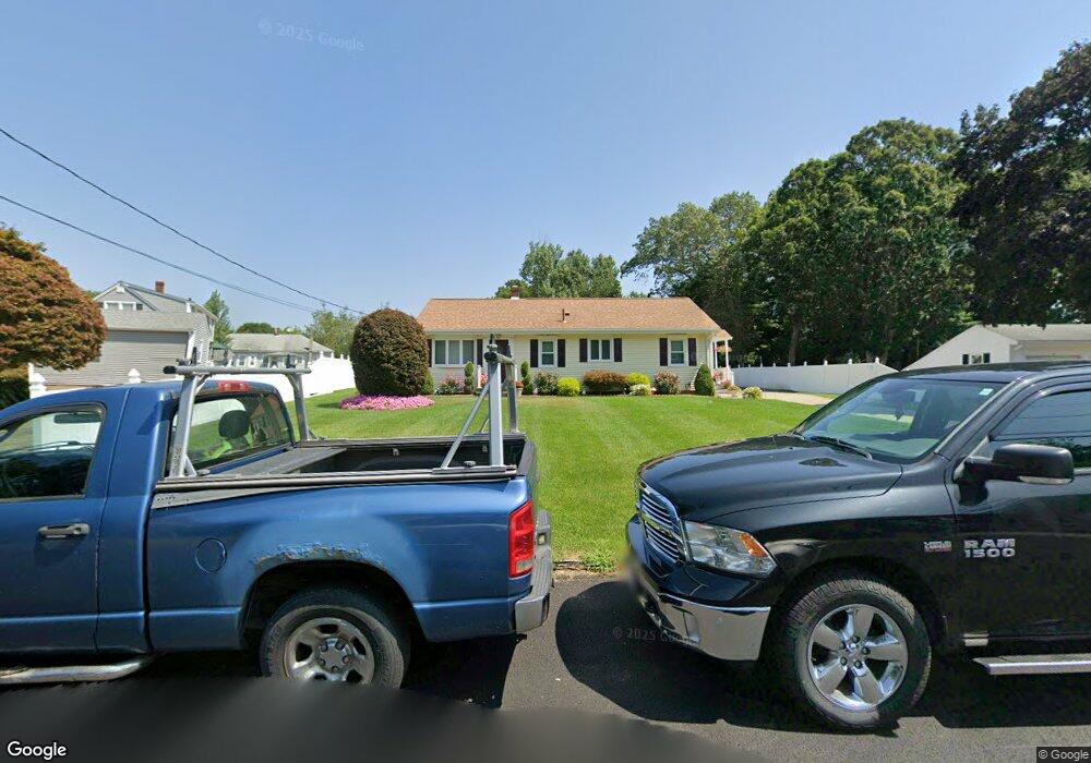
41 Coolidge St Taunton, MA 02780
Estimated Value: $462,000 - $489,131
3
Beds
1
Bath
1,232
Sq Ft
$389/Sq Ft
Est. Value
About This Home
This home is located at 41 Coolidge St, Taunton, MA 02780 and is currently estimated at $479,533, approximately $389 per square foot. 41 Coolidge St is a home located in Bristol County with nearby schools including Edmund Hatch Bennett School, Taunton High School, and Joseph H. Martin.
Ownership History
Date
Name
Owned For
Owner Type
Purchase Details
Closed on
Dec 31, 1992
Sold by
Johnston Susan Abrams
Bought by
Morrissey Gail
Current Estimated Value
Home Financials for this Owner
Home Financials are based on the most recent Mortgage that was taken out on this home.
Original Mortgage
$21,636
Interest Rate
8.32%
Mortgage Type
Purchase Money Mortgage
Purchase Details
Closed on
Oct 15, 1984
Bought by
Demelo Jose and Feliciano Lucy
Create a Home Valuation Report for This Property
The Home Valuation Report is an in-depth analysis detailing your home's value as well as a comparison with similar homes in the area
Home Values in the Area
Average Home Value in this Area
Purchase History
| Date | Buyer | Sale Price | Title Company |
|---|---|---|---|
| Morrissey Gail | $44,000 | -- | |
| Demelo Jose | -- | -- |
Source: Public Records
Mortgage History
| Date | Status | Borrower | Loan Amount |
|---|---|---|---|
| Closed | Demelo Jose | $55,000 | |
| Closed | Demelo Jose | $21,636 | |
| Previous Owner | Demelo Jose | $55,000 |
Source: Public Records
Tax History Compared to Growth
Tax History
| Year | Tax Paid | Tax Assessment Tax Assessment Total Assessment is a certain percentage of the fair market value that is determined by local assessors to be the total taxable value of land and additions on the property. | Land | Improvement |
|---|---|---|---|---|
| 2025 | $4,587 | $419,300 | $135,100 | $284,200 |
| 2024 | $4,267 | $381,300 | $135,100 | $246,200 |
| 2023 | $4,271 | $354,400 | $141,200 | $213,200 |
| 2022 | $3,963 | $300,700 | $109,500 | $191,200 |
| 2021 | $3,772 | $265,600 | $99,500 | $166,100 |
| 2020 | $3,760 | $253,000 | $99,500 | $153,500 |
| 2019 | $3,010 | $242,000 | $99,500 | $142,500 |
| 2018 | $3,567 | $226,900 | $100,500 | $126,400 |
| 2017 | $3,434 | $218,600 | $95,300 | $123,300 |
| 2016 | $3,313 | $211,300 | $92,500 | $118,800 |
| 2015 | $3,211 | $213,900 | $91,400 | $122,500 |
| 2014 | $3,078 | $210,700 | $91,400 | $119,300 |
Source: Public Records
Map
Nearby Homes
- 4 A Lawton St Unit A
- 58 Lawton St
- 50 Highland St Unit 135
- 50 Highland St Unit 37
- 163 Baker Rd W
- 65 Bridget Dr
- 2 Clarendon St
- 125 Highland St Unit 103
- 450 Somerset Ave Unit 6-6
- 1160 Somerset Ave
- 513 Berkley St
- 410 Warner Blvd Unit A
- 12 Beacon St
- 13 Plain St
- 244 Pratt St Unit A
- 1 Everett St
- 173 Highland St Unit 201
- 4 Parkin Ct
- 170 Highland St Unit 320
- 170 Highland St Unit 119
- 34 Roosevelt St
- 37 Coolidge St
- 50 Coolidge St
- 33 Coolidge St
- 40 Coolidge St
- 28 Roosevelt St
- 35 Roosevelt St
- 26 Roosevelt St
- 30 Coolidge St
- 60 Coolidge St
- 60 Coolidge St Unit 2
- 17 Coolidge St
- 29 Roosevelt St
- 20 Coolidge St
- 62 Coolidge St Unit 62
- 25 Roosevelt St
- 22 Roosevelt St
- 783 Somerset Ave
- 785 Somerset Ave
- 775 Somerset Ave