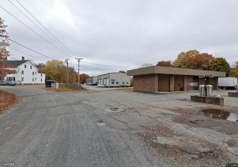
41 Court St Northbridge, MA 01588
Estimated Value: $3,672,855
--
Bed
--
Bath
18,400
Sq Ft
$200/Sq Ft
Est. Value
About This Home
This home is located at 41 Court St, Northbridge, MA 01588 and is currently estimated at $3,672,855, approximately $199 per square foot. 41 Court St is a home located in Worcester County with nearby schools including Northbridge Elementary School, Northbridge Middle School, and Northbridge High School.
Ownership History
Date
Name
Owned For
Owner Type
Purchase Details
Closed on
Mar 4, 2011
Sold by
Linwood Business Park
Bought by
Court Street Props Llc
Current Estimated Value
Home Financials for this Owner
Home Financials are based on the most recent Mortgage that was taken out on this home.
Original Mortgage
$1,162,500
Outstanding Balance
$797,623
Interest Rate
4.76%
Mortgage Type
Commercial
Estimated Equity
$2,875,232
Create a Home Valuation Report for This Property
The Home Valuation Report is an in-depth analysis detailing your home's value as well as a comparison with similar homes in the area
Home Values in the Area
Average Home Value in this Area
Purchase History
| Date | Buyer | Sale Price | Title Company |
|---|---|---|---|
| Court Street Props Llc | $1,550,000 | -- | |
| Court Street Props Llc | $1,550,000 | -- |
Source: Public Records
Mortgage History
| Date | Status | Borrower | Loan Amount |
|---|---|---|---|
| Open | Court Street Props Llc | $1,162,500 | |
| Closed | Court Street Props Llc | $1,162,500 |
Source: Public Records
Tax History Compared to Growth
Tax History
| Year | Tax Paid | Tax Assessment Tax Assessment Total Assessment is a certain percentage of the fair market value that is determined by local assessors to be the total taxable value of land and additions on the property. | Land | Improvement |
|---|---|---|---|---|
| 2025 | $16,190 | $1,373,200 | $220,200 | $1,153,000 |
| 2024 | $17,076 | $1,412,400 | $220,200 | $1,192,200 |
| 2023 | $18,305 | $1,412,400 | $220,200 | $1,192,200 |
| 2022 | $19,449 | $1,412,400 | $220,200 | $1,192,200 |
| 2021 | $14,229 | $982,000 | $190,000 | $792,000 |
| 2020 | $13,591 | $982,000 | $190,000 | $792,000 |
| 2019 | $12,737 | $982,000 | $190,000 | $792,000 |
| 2018 | $12,707 | $982,000 | $190,000 | $792,000 |
| 2017 | $13,286 | $982,000 | $190,000 | $792,000 |
| 2016 | $12,191 | $886,600 | $175,000 | $711,600 |
| 2015 | $11,863 | $886,600 | $175,000 | $711,600 |
| 2014 | $11,756 | $886,600 | $175,000 | $711,600 |
Source: Public Records
Map
Nearby Homes
- 94 Heritage Dr Unit 94
- 35 Highland Park Unit 35
- 237 Heritage Dr Unit 237
- 0 Louis St
- 50 Carrington Ln
- 129 Elm St Unit Lot 7
- 235 Rivulet St
- 99 Country Club Dr
- 0 Homestead Ave
- 38 William Ward St
- 36 Elm St
- 113 Rogerson Crossing Unit 113
- 128 Linwood Ave
- 121 East St Unit 121
- 18 East St Unit 24
- 179 Sutton St
- 21 Granite St
- 831 Providence Rd Unit 837
- 5 Summit St
- 39 Crestwood Cir Unit 42
- 77 Court St
- 79 Court St
- 75 Court St
- 41-97 Court St Unit 77
- 107 Upton St
- 101 Upton St
- 31 Central Ave
- 36 Central Ave
- 91 Upton St Unit 93
- 77 Upton St Unit 79
- 40-46 Court St
- 135 Providence Rd
- 91 Providence Rd
- 95 Providence Rd
- 168 Heritage Dr
- 167 Heritage Dr
- 166 Heritage Dr
- 165 Heritage Dr
- 164 Heritage Dr
- 160 Heritage Dr