41 Dairy Farm Way Tewksbury, MA 01876
Estimated Value: $1,019,000 - $1,281,000
3
Beds
4
Baths
2,672
Sq Ft
$431/Sq Ft
Est. Value
About This Home
This home is located at 41 Dairy Farm Way, Tewksbury, MA 01876 and is currently estimated at $1,151,270, approximately $430 per square foot. 41 Dairy Farm Way is a home located in Middlesex County with nearby schools including John F. Ryan Elementary School, John W. Wynn Middle School, and Tewksbury Memorial High School.
Ownership History
Date
Name
Owned For
Owner Type
Purchase Details
Closed on
Feb 11, 2020
Sold by
Asselin Peter G and Asselin Erin W
Bought by
Asselin Ft
Current Estimated Value
Purchase Details
Closed on
Mar 30, 2001
Sold by
First Liberty Dev Co
Bought by
Asselin Peter G and Asselin Erin W
Home Financials for this Owner
Home Financials are based on the most recent Mortgage that was taken out on this home.
Original Mortgage
$270,000
Interest Rate
6.96%
Mortgage Type
Purchase Money Mortgage
Create a Home Valuation Report for This Property
The Home Valuation Report is an in-depth analysis detailing your home's value as well as a comparison with similar homes in the area
Home Values in the Area
Average Home Value in this Area
Purchase History
| Date | Buyer | Sale Price | Title Company |
|---|---|---|---|
| Asselin Ft | -- | None Available | |
| Asselin Peter G | $459,900 | -- |
Source: Public Records
Mortgage History
| Date | Status | Borrower | Loan Amount |
|---|---|---|---|
| Previous Owner | Asselin Peter G | $270,000 |
Source: Public Records
Tax History Compared to Growth
Tax History
| Year | Tax Paid | Tax Assessment Tax Assessment Total Assessment is a certain percentage of the fair market value that is determined by local assessors to be the total taxable value of land and additions on the property. | Land | Improvement |
|---|---|---|---|---|
| 2025 | $12,071 | $913,100 | $351,900 | $561,200 |
| 2024 | $11,663 | $871,000 | $335,300 | $535,700 |
| 2023 | $11,594 | $822,300 | $304,700 | $517,600 |
| 2022 | $11,312 | $744,200 | $265,100 | $479,100 |
| 2021 | $11,210 | $713,100 | $241,200 | $471,900 |
| 2020 | $11,019 | $690,000 | $229,800 | $460,200 |
| 2019 | $10,198 | $643,800 | $218,500 | $425,300 |
| 2018 | $9,983 | $618,900 | $218,500 | $400,400 |
| 2017 | $10,008 | $613,600 | $218,500 | $395,100 |
| 2016 | $9,045 | $553,200 | $218,500 | $334,700 |
| 2015 | $8,846 | $540,400 | $215,000 | $325,400 |
| 2014 | $8,397 | $521,200 | $218,500 | $302,700 |
Source: Public Records
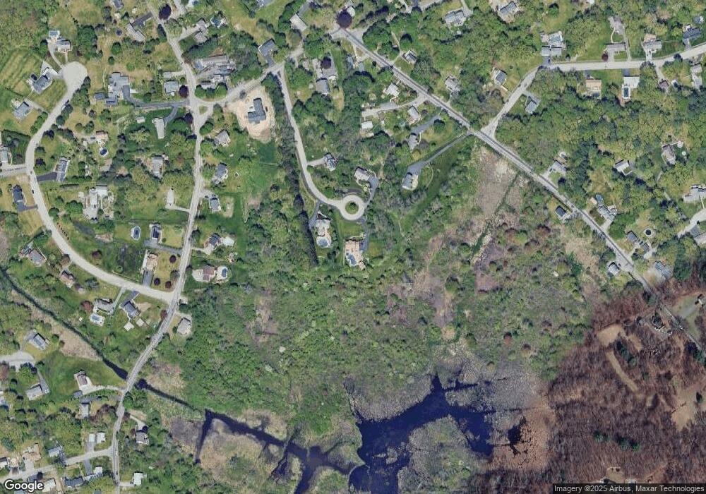
Map
Nearby Homes
- 251 Whipple Rd
- 31 Wells Dr
- 347 Astle St
- 164 Astle St
- 10 Babicz Rd
- 43 Oak Knoll Rd
- 357 Boylston St Unit 2
- 82 Boylston Ln Unit 16
- 50 Arnold Ave
- 32 Rockingham St Unit A
- 90 Roper St Unit G
- 1199 Lawrence St
- 45 Woburn St
- 157 Billerica St
- 10 Mission Place
- 55 Stratham St
- 30 Epping St
- 1081 Lawrence St
- 86 Van Buren Rd
- 16 Crooked Spring Rd
- 31 Dairy Farm Way
- 30 Dairy Farm Way
- 133 Whipple Rd
- 20 Dairy Farm Way
- 140 N Billerica Rd
- 150 N Billerica Rd
- 130 N Billerica Rd
- 115 Whipple Rd
- 120 N Billerica Rd
- 123 Whipple Rd
- 160 N Billerica Rd
- 113 Whipple Rd
- 174 French St
- 166 French St
- 135 N Billerica Rd
- 145 N Billerica Rd
- 103 Whipple Rd
- 155 N Billerica Rd
- 125 N Billerica Rd
- 83 Whipple Rd