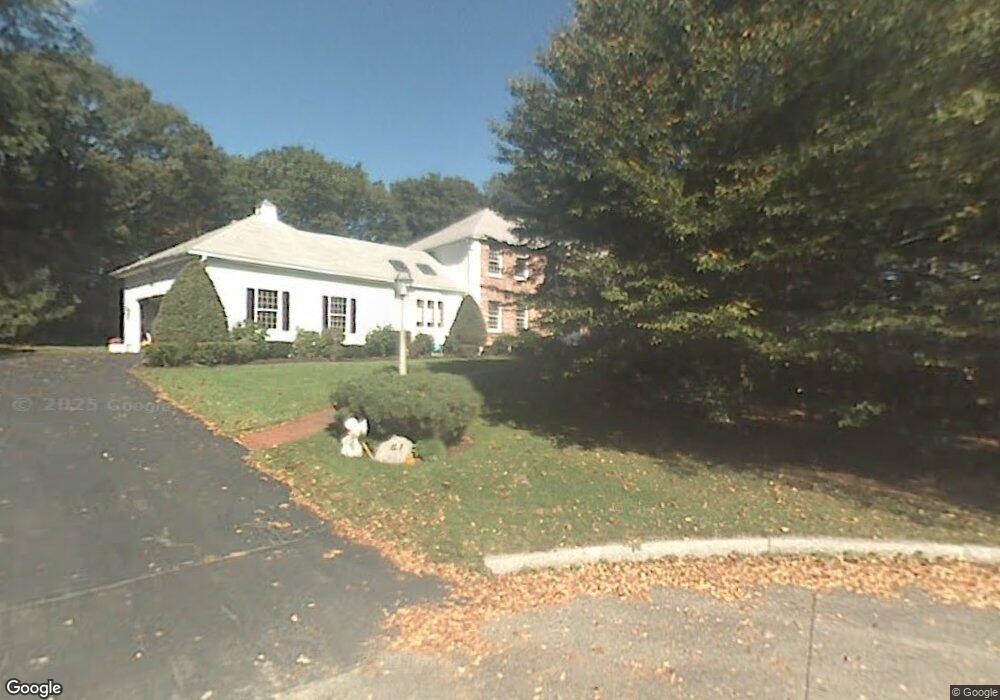
41 Deerfield Dr Milton, MA 02186
Milton Center NeighborhoodEstimated Value: $1,971,000 - $2,432,000
4
Beds
3
Baths
3,741
Sq Ft
$592/Sq Ft
Est. Value
About This Home
This home is located at 41 Deerfield Dr, Milton, MA 02186 and is currently estimated at $2,214,700, approximately $592 per square foot. 41 Deerfield Dr is a home located in Norfolk County with nearby schools including Milton High School, Delphi Academy of Boston, and St. Mary of the Hills School.
Ownership History
Date
Name
Owned For
Owner Type
Purchase Details
Closed on
Nov 2, 2021
Sold by
Orlando Robert P and White-Orlando Judith M
Bought by
Jbar White Orlando Ft
Current Estimated Value
Purchase Details
Closed on
Jan 19, 1996
Sold by
Gallagher Tr Owen
Bought by
Orlando Robert P and Orlando Judith M
Home Financials for this Owner
Home Financials are based on the most recent Mortgage that was taken out on this home.
Original Mortgage
$415,000
Interest Rate
7.16%
Mortgage Type
Purchase Money Mortgage
Create a Home Valuation Report for This Property
The Home Valuation Report is an in-depth analysis detailing your home's value as well as a comparison with similar homes in the area
Home Values in the Area
Average Home Value in this Area
Purchase History
| Date | Buyer | Sale Price | Title Company |
|---|---|---|---|
| Jbar White Orlando Ft | -- | None Available | |
| Orlando Robert P | $540,000 | -- |
Source: Public Records
Mortgage History
| Date | Status | Borrower | Loan Amount |
|---|---|---|---|
| Previous Owner | Orlando Robert P | $415,000 | |
| Previous Owner | Orlando Robert P | $100,000 |
Source: Public Records
Tax History Compared to Growth
Tax History
| Year | Tax Paid | Tax Assessment Tax Assessment Total Assessment is a certain percentage of the fair market value that is determined by local assessors to be the total taxable value of land and additions on the property. | Land | Improvement |
|---|---|---|---|---|
| 2025 | $21,242 | $1,915,400 | $724,000 | $1,191,400 |
| 2024 | $20,585 | $1,885,100 | $689,700 | $1,195,400 |
| 2023 | $20,009 | $1,755,200 | $656,700 | $1,098,500 |
| 2022 | $18,880 | $1,514,000 | $656,700 | $857,300 |
| 2021 | $19,134 | $1,457,300 | $636,300 | $821,000 |
| 2020 | $18,949 | $1,444,300 | $636,200 | $808,100 |
| 2019 | $18,482 | $1,402,300 | $617,700 | $784,600 |
| 2018 | $18,210 | $1,318,600 | $544,000 | $774,600 |
| 2017 | $17,053 | $1,257,600 | $518,100 | $739,500 |
| 2016 | $15,914 | $1,178,800 | $453,400 | $725,400 |
| 2015 | $15,653 | $1,122,900 | $421,000 | $701,900 |
Source: Public Records
Map
Nearby Homes
- 7 Preacher Rd
- 375 Atherton St
- 3 Stone Bridge Ln
- 540 Harland St
- 50 Marine Rd
- 485 Blue Hills Pkwy Unit 11
- 485 Blue Hills Pkwy Unit 27
- 485 Blue Hills Pkwy Unit 38
- 485 Blue Hills Pkwy Unit 6
- 485 Blue Hills Pkwy Unit 21
- 485 Blue Hills Pkwy Unit 44
- 485 Blue Hills Pkwy Unit 23
- 485 Blue Hills Pkwy Unit 20
- 485 Blue Hills Pkwy Unit 26
- 485 Blue Hills Pkwy Unit 28
- 485 Blue Hills Pkwy Unit 2
- 485 Blue Hills Pkwy Unit 33
- 651 Canton Ave
- 79 Hillside St
- 1386 Canton Ave
- 31 Deerfield Dr
- 90 Countryside Ln
- 224 Unquity Rd
- 216 Unquity Rd
- 7 Wagon Wheel Dr
- 38 Deerfield Dr
- 30 Deerfield Dr
- 89 Countryside Ln
- 5 Wagon Wheel Dr
- 20 Deerfield Dr
- 84 Countryside Ln
- 2 Arrowhead Ln
- 87 Countryside Ln
- 10 Deerfield Dr
- 10 Deerfield Dr
- 3 Arrowhead Ln
- 83 Countryside Ln
- 83 Countryside Ln Unit NA
- 80 Countryside Ln
- 4 Arrowhead Ln