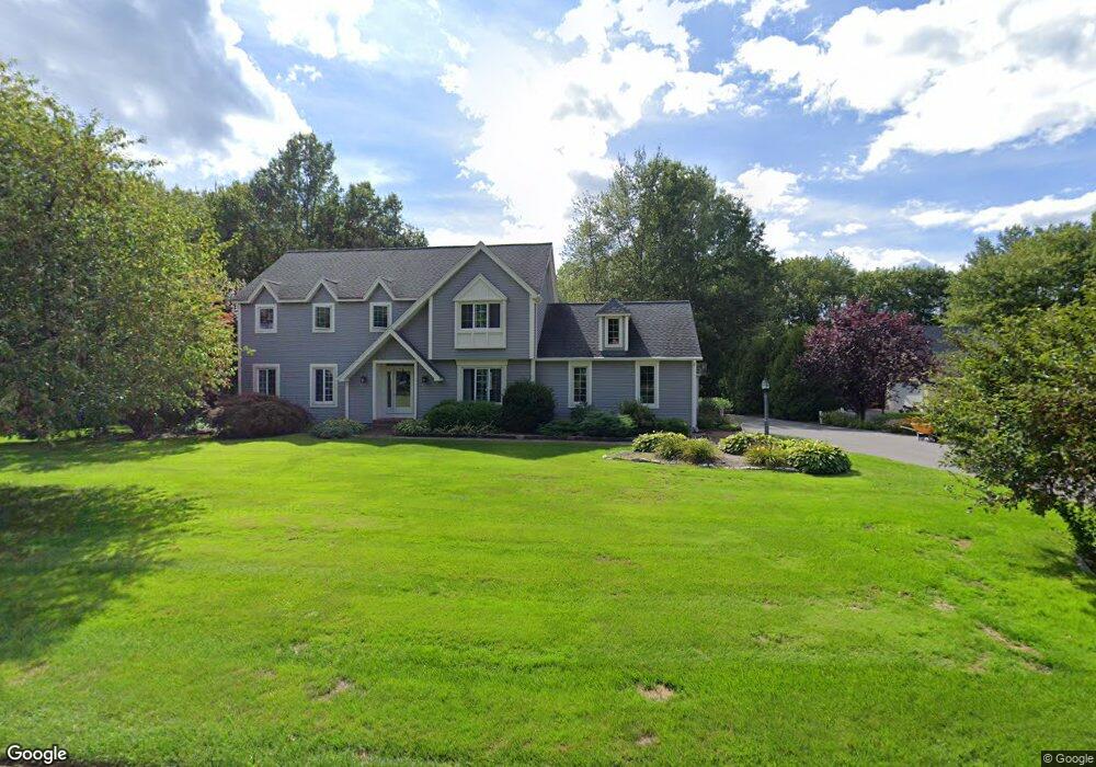
41 Devine Rd Suffield, CT 06078
Estimated Value: $640,000 - $781,000
About This Home
This home is located at 41 Devine Rd, Suffield, CT 06078 and is currently estimated at $716,784, approximately $237 per square foot. 41 Devine Rd is a home located in Hartford County with nearby schools including A. Ward Spaulding School, Mcalister Intermediate School, and Suffield Middle School.
Ownership History
We collect this data history from publicly available records. To have your information removed, we recommend requesting removal directly through your county’s website.
Purchase Details
Home Values in the Area
Average Home Value in this Area
Purchase History
We collect this data history from publicly available records. To have your information removed, we recommend requesting removal directly through your county’s website.
| Date | Buyer | Sale Price | Title Company |
|---|---|---|---|
| $455,000 | -- |
Mortgage History
We collect this data history from publicly available records. To have your information removed, we recommend requesting removal directly through your county’s website.
| Date | Status | Borrower | Loan Amount |
|---|---|---|---|
| Closed | $239,100 | ||
| Closed | $18,500 | ||
| Closed | $17,000 | ||
| Closed | $108,000 |
Tax History
We collect this data history from publicly available records. To have your information removed, we recommend requesting removal directly through your county’s website.
| Year | Tax Paid | Tax Assessment Tax Assessment Total Assessment is a certain percentage of the fair market value that is determined by local assessors to be the total taxable value of land and additions on the property. | Land | Improvement |
|---|---|---|---|---|
| 2025 | $9,267 | $395,850 | $71,610 | $324,240 |
| 2024 | $8,958 | $395,850 | $71,610 | $324,240 |
| 2023 | $8,063 | $281,820 | $71,680 | $210,140 |
| 2022 | $8,063 | $281,820 | $71,680 | $210,140 |
| 2021 | $8,071 | $281,820 | $71,680 | $210,140 |
| 2020 | $8,071 | $281,820 | $71,680 | $210,140 |
| 2019 | $8,094 | $281,820 | $71,680 | $210,140 |
| 2018 | $8,115 | $276,780 | $66,150 | $210,630 |
| 2017 | $7,996 | $276,780 | $66,150 | $210,630 |
| 2016 | $7,805 | $276,780 | $66,150 | $210,630 |
| 2015 | $7,689 | $276,780 | $66,150 | $210,630 |
| 2014 | $7,506 | $276,780 | $66,150 | $210,630 |
Map
- 500 Thrall Ave
- 6 Meeting House Ln
- 8 Greendale Dr Unit 8
- 9 the Hamlet Unit C
- 24 Bridge Ln
- 660 East St S
- 7 Heather Ln
- 36 Primrose Ln
- 31 Gooseberry Dr
- 7 Riverview St
- 25 Yale Dr
- 20 Meadowlark Rd
- 8 Bridge Ln
- 16 Nutmeg Ave
- 92 Spring Ln Unit 92
- 32 Parsons Rd
- 171 Coho Ln Unit 171
- 392 Boston Neck Rd
- 21 Spiers Ave
- 6 Grand View Dr
Ask me questions while you tour the home.