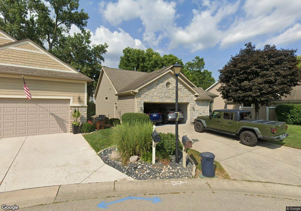
41 Dunnington Ct Springboro, OH 45066
Estimated Value: $372,000 - $577,000
2
Beds
3
Baths
1,801
Sq Ft
$255/Sq Ft
Est. Value
About This Home
This home is located at 41 Dunnington Ct, Springboro, OH 45066 and is currently estimated at $458,833, approximately $254 per square foot. 41 Dunnington Ct is a home located in Warren County with nearby schools including Clearcreek Elementary School, Dennis Elementary School, and Springboro Intermediate School.
Ownership History
Date
Name
Owned For
Owner Type
Purchase Details
Closed on
Jun 22, 1992
Sold by
Koepfer Dunnington and Koepfer Builde
Bought by
Byrd Byrd and Byrd Cynthia S
Current Estimated Value
Purchase Details
Closed on
Feb 10, 1992
Sold by
K & W Development & Inc
Bought by
Koepfer Dunnington and Koepfer Builde
Purchase Details
Closed on
Aug 15, 1991
Sold by
K & W Development & Inc
Bought by
K & W Development & Inc
Create a Home Valuation Report for This Property
The Home Valuation Report is an in-depth analysis detailing your home's value as well as a comparison with similar homes in the area
Home Values in the Area
Average Home Value in this Area
Purchase History
| Date | Buyer | Sale Price | Title Company |
|---|---|---|---|
| Byrd Byrd | $241,200 | -- | |
| Koepfer Dunnington | $30,000 | -- | |
| K & W Development & Inc | -- | -- |
Source: Public Records
Tax History Compared to Growth
Tax History
| Year | Tax Paid | Tax Assessment Tax Assessment Total Assessment is a certain percentage of the fair market value that is determined by local assessors to be the total taxable value of land and additions on the property. | Land | Improvement |
|---|---|---|---|---|
| 2024 | $5,720 | $139,460 | $29,400 | $110,060 |
| 2023 | $5,007 | $110,915 | $17,346 | $93,569 |
| 2022 | $4,796 | $110,915 | $17,346 | $93,569 |
| 2021 | $4,499 | $110,915 | $17,346 | $93,569 |
| 2020 | $4,317 | $93,996 | $14,700 | $79,296 |
| 2019 | $4,020 | $93,996 | $14,700 | $79,296 |
| 2018 | $4,022 | $93,996 | $14,700 | $79,296 |
| 2017 | $3,963 | $86,254 | $12,289 | $73,966 |
| 2016 | $4,115 | $86,254 | $12,289 | $73,966 |
| 2015 | $3,518 | $86,254 | $12,289 | $73,966 |
| 2014 | $3,518 | $78,410 | $11,170 | $67,240 |
| 2013 | $3,515 | $103,180 | $14,700 | $88,480 |
Source: Public Records
Map
Nearby Homes
- 44 Dunnington Ct
- Hampton Plan at Northampton
- 55 Glasgow St Unit 37
- 65 Morris St Unit 17
- 130 Morris St Unit 8
- 70 Morris St Unit 6
- 65 Morris St
- 70 Morris St
- Cooke Plan at Northampton
- Barrett Plan at Northampton
- 45 Morris St
- 25 Morris St
- 30 Morris St
- 50 Morris St
- 35 Morris St
- Melville Plan at Northampton
- Clayton Plan at Northampton
- Nicholas Plan at Northampton
- Ainsley II Plan at Northampton
- Monroe Plan at Northampton
- 35 Dunnington Ct
- 40 Dunnington Ct
- 29 Dunnington Ct
- 1360 S Main St
- 36 Dunnington Ct
- 23 Dunnington Ct
- 5 Dunnington Ct
- 4 Dunnington Ct
- 17 Dunnington Ct
- 32 Dunnington Ct
- 8 Dunnington Ct
- 11 Dunnington Ct
- 28 Dunnington Ct
- 24 Dunnington Ct
- 12 Dunnington Ct
- 20 Dunnington Ct
- 45 Heatherglen Ct
- 45 Heather Glen Ct
- 55 Heatherglen Ct
- 55 Heather Glen Ct