41 E Broad St Hatfield, PA 19440
Estimated Value: $496,215 - $549,000
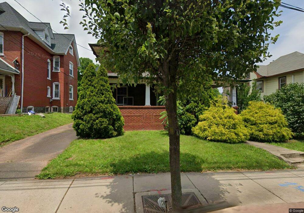
About This Home
This home is located at 41 E Broad St, Hatfield, PA 19440 and is currently estimated at $523,304, approximately $143 per square foot. 41 E Broad St is a home located in Montgomery County with nearby schools including Hatfield Elementary School, Pennfield Middle School, and North Penn Senior High School.
Ownership History
We collect this data history from publicly available records. To have your information removed, we recommend requesting removal directly through your county’s website.
Purchase Details
Home Financials for this Owner
Home Financials are based on the most recent Mortgage that was taken out on this home.Purchase Details
Home Financials for this Owner
Home Financials are based on the most recent Mortgage that was taken out on this home.Purchase Details
Purchase Details
Home Values in the Area
Average Home Value in this Area
Purchase History
We collect this data history from publicly available records. To have your information removed, we recommend requesting removal directly through your county’s website.
| Date | Buyer | Sale Price | Title Company |
|---|---|---|---|
| $310,000 | None Available | ||
| -- | First American Title Ins Co | ||
| -- | -- | ||
| -- | -- |
Mortgage History
We collect this data history from publicly available records. To have your information removed, we recommend requesting removal directly through your county’s website.
| Date | Status | Borrower | Loan Amount |
|---|---|---|---|
| Open | $294,500 | ||
| Previous Owner | $215,000 |
Tax History
We collect this data history from publicly available records. To have your information removed, we recommend requesting removal directly through your county’s website.
| Year | Tax Paid | Tax Assessment Tax Assessment Total Assessment is a certain percentage of the fair market value that is determined by local assessors to be the total taxable value of land and additions on the property. | Land | Improvement |
|---|---|---|---|---|
| 2026 | $6,686 | $157,670 | -- | -- |
| 2025 | $6,001 | $157,670 | $41,040 | $116,630 |
| 2024 | $6,001 | $157,670 | $41,040 | $116,630 |
| 2023 | $5,730 | $157,670 | $41,040 | $116,630 |
| 2022 | $5,534 | $157,670 | $41,040 | $116,630 |
| 2021 | $5,210 | $157,670 | $41,040 | $116,630 |
| 2020 | $5,037 | $157,670 | $41,040 | $116,630 |
| 2019 | $4,944 | $157,670 | $41,040 | $116,630 |
| 2018 | $921 | $157,670 | $41,040 | $116,630 |
| 2017 | $4,736 | $157,670 | $41,040 | $116,630 |
| 2016 | $4,674 | $157,670 | $41,040 | $116,630 |
| 2015 | $4,310 | $157,670 | $41,040 | $116,630 |
| 2014 | $4,310 | $157,670 | $41,040 | $116,630 |
Map
- 105 S Main St
- 103 N Main St
- 2721 Cowpath Rd
- 334 W Broad St
- 340 W Broad St
- 2724 Beech St
- 397 Wheatfield Cir
- 101 Raintree Crossing
- 2339 E Vine St
- 1745 Maple Ave
- 2732 Towamencin Ave
- 109 Hickory Dr
- 2049 Hawthorne Ln
- 1517 Emily Ct
- 1570 Tarrington Way
- 1503 Tarrington Way
- 672 Brighton Dr
- 2719 Supplee Cir
- 724 Quail Cir
- 1160 Hill St
Ask me questions while you tour the home.