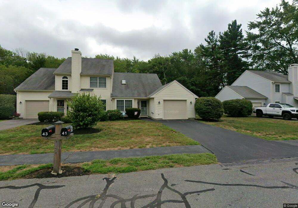
41 E Glen Dr Taunton, MA 02780
Weir Village NeighborhoodEstimated Value: $348,000 - $396,000
2
Beds
2
Baths
960
Sq Ft
$386/Sq Ft
Est. Value
About This Home
This home is located at 41 E Glen Dr, Taunton, MA 02780 and is currently estimated at $370,774, approximately $386 per square foot. 41 E Glen Dr is a home located in Bristol County with nearby schools including Elizabeth Pole School, Taunton High School, and John F. Parker Middle School.
Ownership History
Date
Name
Owned For
Owner Type
Purchase Details
Closed on
May 19, 2017
Sold by
Ir Dorothea D Williams
Bought by
Divincenzo Irene and Divincenzo James
Current Estimated Value
Purchase Details
Closed on
Mar 26, 2008
Sold by
Duarte Cheryl A
Bought by
Ir Dorothea D Williams and Williams Richard B
Purchase Details
Closed on
Feb 2, 1993
Sold by
Melo Rlty Blrs T and Melo Carlos R
Bought by
Duarte Cheryl A
Home Financials for this Owner
Home Financials are based on the most recent Mortgage that was taken out on this home.
Original Mortgage
$77,625
Interest Rate
8.16%
Mortgage Type
Purchase Money Mortgage
Create a Home Valuation Report for This Property
The Home Valuation Report is an in-depth analysis detailing your home's value as well as a comparison with similar homes in the area
Home Values in the Area
Average Home Value in this Area
Purchase History
| Date | Buyer | Sale Price | Title Company |
|---|---|---|---|
| Divincenzo Irene | $222,500 | -- | |
| Ir Dorothea D Williams | $235,000 | -- | |
| Duarte Cheryl A | $103,500 | -- |
Source: Public Records
Mortgage History
| Date | Status | Borrower | Loan Amount |
|---|---|---|---|
| Previous Owner | Duarte Cheryl A | $68,500 | |
| Previous Owner | Duarte Cheryl A | $77,625 |
Source: Public Records
Tax History Compared to Growth
Tax History
| Year | Tax Paid | Tax Assessment Tax Assessment Total Assessment is a certain percentage of the fair market value that is determined by local assessors to be the total taxable value of land and additions on the property. | Land | Improvement |
|---|---|---|---|---|
| 2025 | $3,661 | $334,600 | $0 | $334,600 |
| 2024 | $3,281 | $293,200 | $0 | $293,200 |
| 2023 | $3,237 | $268,600 | $0 | $268,600 |
| 2022 | $2,807 | $213,000 | $0 | $213,000 |
| 2021 | $2,630 | $185,200 | $0 | $185,200 |
| 2020 | $2,719 | $183,000 | $0 | $183,000 |
| 2019 | $2,823 | $179,100 | $0 | $179,100 |
| 2018 | $2,779 | $176,800 | $0 | $176,800 |
| 2017 | $2,628 | $167,300 | $0 | $167,300 |
| 2016 | $2,501 | $159,500 | $0 | $159,500 |
| 2015 | $2,405 | $160,200 | $0 | $160,200 |
| 2014 | $2,358 | $161,400 | $0 | $161,400 |
Source: Public Records
Map
Nearby Homes
- 23 Johnson St Unit C
- 25 Johnson St Unit B
- 11 Williams St
- 55 Donna Terrace
- 600 County St
- 600 County St Lot A
- 600
- 26 Maynard St Unit A
- 71 Linden St
- 1301 Carriage Ln Unit 1301
- 28 Barbara Rd
- 222 Harris St
- 6 W Summer St
- 170 Hart St Unit B
- 1 Fayal Ave
- 29 Williams Ave
- 215 High St Unit 21
- 215 High St Unit 20
- 41 Hart Ave
- 0 S Main St Unit 73443212