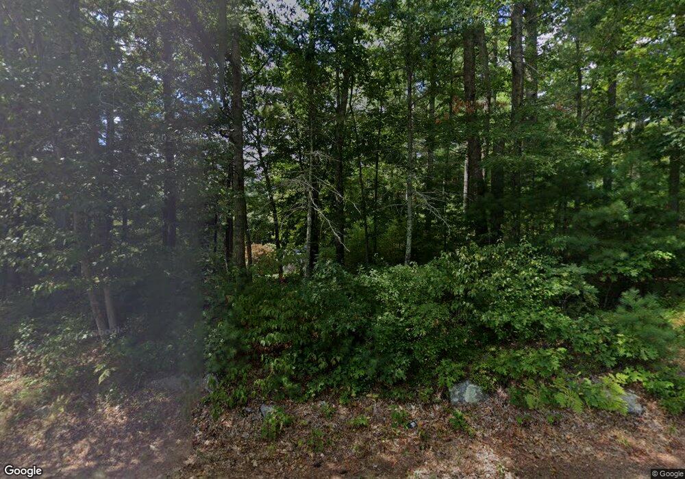
41 E Howland Rd East Freetown, MA 02717
Estimated Value: $582,000 - $722,000
3
Beds
2
Baths
1,876
Sq Ft
$352/Sq Ft
Est. Value
About This Home
This home is located at 41 E Howland Rd, East Freetown, MA 02717 and is currently estimated at $660,577, approximately $352 per square foot. 41 E Howland Rd is a home located in Bristol County with nearby schools including Freetown Elementary School, George R Austin Intermediate School, and Freetown-Lakeville Middle School.
Ownership History
Date
Name
Owned For
Owner Type
Purchase Details
Closed on
Jan 30, 1985
Bought by
Laperriere Dennis R and Laperriere Debra M
Current Estimated Value
Create a Home Valuation Report for This Property
The Home Valuation Report is an in-depth analysis detailing your home's value as well as a comparison with similar homes in the area
Home Values in the Area
Average Home Value in this Area
Purchase History
| Date | Buyer | Sale Price | Title Company |
|---|---|---|---|
| Laperriere Dennis R | $81,900 | -- |
Source: Public Records
Mortgage History
| Date | Status | Borrower | Loan Amount |
|---|---|---|---|
| Open | Laperriere Dennis R | $150,000 | |
| Closed | Laperriere Dennis R | $105,000 |
Source: Public Records
Tax History Compared to Growth
Tax History
| Year | Tax Paid | Tax Assessment Tax Assessment Total Assessment is a certain percentage of the fair market value that is determined by local assessors to be the total taxable value of land and additions on the property. | Land | Improvement |
|---|---|---|---|---|
| 2025 | $6,183 | $623,900 | $171,100 | $452,800 |
| 2024 | $6,143 | $589,000 | $161,400 | $427,600 |
| 2023 | $6,003 | $560,500 | $145,300 | $415,200 |
| 2022 | $5,724 | $474,600 | $123,100 | $351,500 |
| 2021 | $0 | $432,300 | $111,900 | $320,400 |
| 2020 | $5,475 | $420,500 | $107,700 | $312,800 |
| 2019 | $5,159 | $392,300 | $102,500 | $289,800 |
| 2018 | $4,821 | $362,200 | $102,500 | $259,700 |
| 2017 | $4,338 | $325,700 | $102,500 | $223,200 |
| 2016 | $3,775 | $288,400 | $99,600 | $188,800 |
| 2015 | $3,675 | $284,900 | $99,600 | $185,300 |
| 2014 | $3,435 | $272,400 | $97,500 | $174,900 |
Source: Public Records
Map
Nearby Homes
- 37 E Howland Rd
- 35 E Howland Rd
- 45 E Howland Rd
- 36 E Howland Rd
- 38 E Howland Rd
- 40 E Howland Rd
- 42 E Howland Rd
- 47 E Howland Rd
- 104 E Howland Rd
- 109 E Howland Rd
- 51 E Howland Rd
- 48 E Howland Rd
- 31 E Howland Rd
- 34 E Howland Rd
- 50 E Howland Rd
- 147 Howland Rd
- 146 E Howland Rd
- 146 Howland Rd
- 46 E Howland Rd
- 46 E Howland Rd
