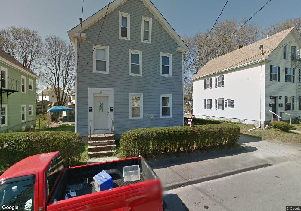
41 E Walnut St Unit R Taunton, MA 02780
Estimated Value: $480,983 - $661,000
5
Beds
3
Baths
2,160
Sq Ft
$256/Sq Ft
Est. Value
About This Home
This home is located at 41 E Walnut St Unit R, Taunton, MA 02780 and is currently estimated at $553,996, approximately $256 per square foot. 41 E Walnut St Unit R is a home located in Bristol County with nearby schools including Mulcahey Elementary School, Taunton High School, and John F. Parker Middle School.
Ownership History
Date
Name
Owned For
Owner Type
Purchase Details
Closed on
Aug 1, 2025
Sold by
Middleton Todd W
Bought by
T W Middleton Sr Irt and Middleton
Current Estimated Value
Purchase Details
Closed on
Apr 9, 2004
Sold by
Demedeiros Manuel D
Bought by
Stanley Katia H and Stanley Robert W
Home Financials for this Owner
Home Financials are based on the most recent Mortgage that was taken out on this home.
Original Mortgage
$264,000
Interest Rate
5.6%
Mortgage Type
Purchase Money Mortgage
Purchase Details
Closed on
Aug 16, 2001
Sold by
Wilcox Julia R
Bought by
Middleton Todd W
Create a Home Valuation Report for This Property
The Home Valuation Report is an in-depth analysis detailing your home's value as well as a comparison with similar homes in the area
Home Values in the Area
Average Home Value in this Area
Purchase History
| Date | Buyer | Sale Price | Title Company |
|---|---|---|---|
| T W Middleton Sr Irt | -- | -- | |
| T W Middleton Sr Irt | -- | -- | |
| Stanley Katia H | $330,000 | -- | |
| Stanley Katia H | $330,000 | -- | |
| Middleton Todd W | $62,000 | -- | |
| Middleton Todd W | $62,000 | -- |
Source: Public Records
Mortgage History
| Date | Status | Borrower | Loan Amount |
|---|---|---|---|
| Previous Owner | Stanley Katia H | $264,000 | |
| Previous Owner | Middleton Todd W | $72,500 | |
| Previous Owner | Middleton Todd W | $62,000 |
Source: Public Records
Tax History
| Year | Tax Paid | Tax Assessment Tax Assessment Total Assessment is a certain percentage of the fair market value that is determined by local assessors to be the total taxable value of land and additions on the property. | Land | Improvement |
|---|---|---|---|---|
| 2025 | $4,490 | $410,400 | $77,000 | $333,400 |
| 2024 | $4,090 | $365,500 | $77,000 | $288,500 |
| 2023 | $3,787 | $314,300 | $77,000 | $237,300 |
| 2022 | $3,357 | $254,700 | $60,800 | $193,900 |
| 2021 | $3,165 | $222,900 | $49,200 | $173,700 |
| 2020 | $3,058 | $205,800 | $49,200 | $156,600 |
| 2019 | $2,788 | $176,900 | $52,800 | $124,100 |
| 2018 | $2,636 | $167,700 | $51,400 | $116,300 |
| 2017 | $2,471 | $157,300 | $51,800 | $105,500 |
| 2016 | $2,399 | $153,000 | $52,200 | $100,800 |
| 2015 | $2,196 | $146,300 | $55,300 | $91,000 |
| 2014 | $2,120 | $145,100 | $54,100 | $91,000 |
Source: Public Records
Map
Nearby Homes
- 11 Orchard St
- 1 White St
- 35 Newcomb Place
- 278 Cohannet St
- 9 Hill St
- 99 Winthrop St
- 303 Cohannet St
- 6 W Weir St
- 215 High St Unit 21
- 215 High St Unit 18
- 4 Riverside Ave
- 16 Forest St
- 248 Somerset Ave
- 252 Somerset Ave
- 0, M64 L51 Knapp St
- 0 M64 L39 Knapp St
- 0, M64 L49 Knapp St
- 0, M64 L50 Knapp St
- 48 Taunton Green
- 15 School St
- 41 E Walnut St
- 41R E Walnut St
- 15R Barnum St
- 15 Barnum St
- 15 Barnum St Unit R
- 9 Barnum Place
- 43 E Walnut St
- 5 Barnum Place
- 39 E Walnut St
- 39 E Walnut St Unit 2
- 39 E Walnut St Unit 1
- 39 E Walnut St Unit 3
- 13 Barnum St
- 37 E Walnut St
- 3 Barnum Place
- 17 Barnum St
- 45 E Walnut St
- 11 Barnum St
- 11 Barnum St Unit 1
- 35 E Walnut St
Your Personal Tour Guide
Ask me questions while you tour the home.