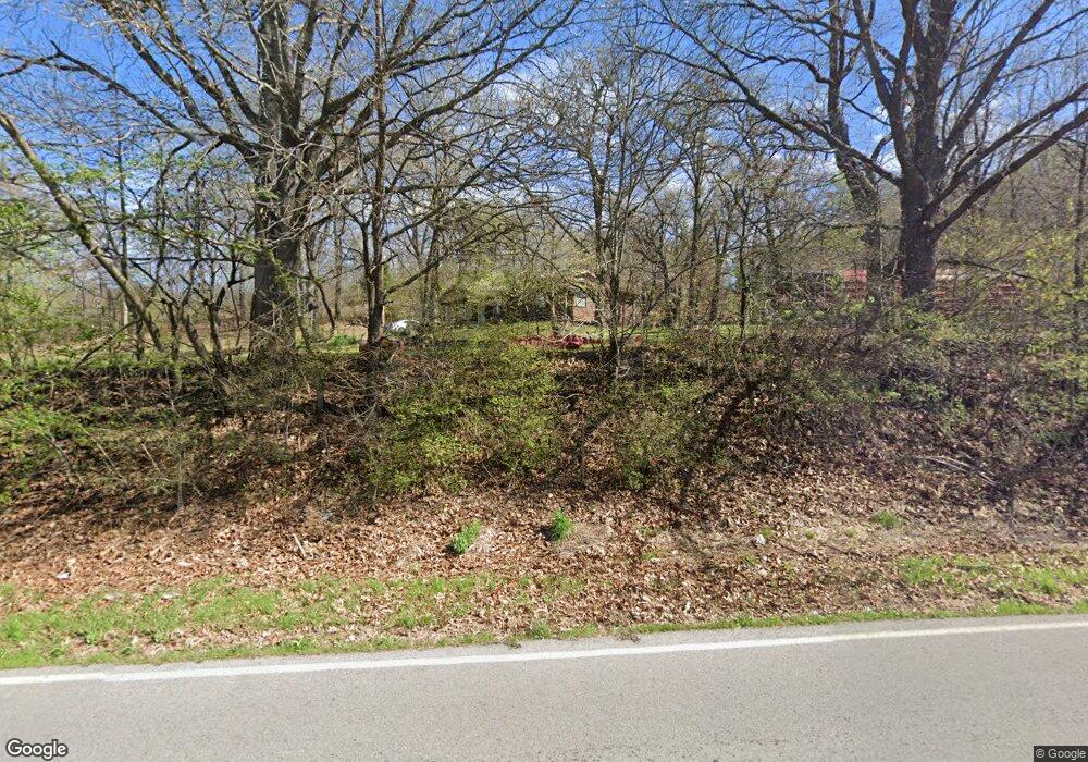
41 Ear Bob Rd Locust Grove, OK 74352
Estimated Value: $182,000 - $360,000
3
Beds
2
Baths
1,300
Sq Ft
$198/Sq Ft
Est. Value
About This Home
This home is located at 41 Ear Bob Rd, Locust Grove, OK 74352 and is currently estimated at $257,490, approximately $198 per square foot. 41 Ear Bob Rd is a home located in Mayes County with nearby schools including Locust Grove Early Lrning Center, Locust Grove Upper Elementary School, and Locust Grove Middle School.
Ownership History
Date
Name
Owned For
Owner Type
Purchase Details
Closed on
Nov 15, 2022
Sold by
Housing Authority Of The Cherokee Nation
Bought by
Blossom Mary Jane
Current Estimated Value
Purchase Details
Closed on
Jul 18, 2022
Sold by
James Downing Steven and James Ann Debra
Bought by
Housing Authority Of The Cherokee Nation Of O
Purchase Details
Closed on
Mar 15, 2005
Sold by
Housing Authority Of The Cherokee Nation
Bought by
Downing Steven James and Downing Debra Ann
Create a Home Valuation Report for This Property
The Home Valuation Report is an in-depth analysis detailing your home's value as well as a comparison with similar homes in the area
Home Values in the Area
Average Home Value in this Area
Purchase History
| Date | Buyer | Sale Price | Title Company |
|---|---|---|---|
| Blossom Mary Jane | -- | -- | |
| Blossom Mary Jane | -- | None Listed On Document | |
| Housing Authority Of The Cherokee Nation Of O | $7,472 | None Listed On Document | |
| Downing Steven James | -- | None Available |
Source: Public Records
Tax History Compared to Growth
Tax History
| Year | Tax Paid | Tax Assessment Tax Assessment Total Assessment is a certain percentage of the fair market value that is determined by local assessors to be the total taxable value of land and additions on the property. | Land | Improvement |
|---|---|---|---|---|
| 2025 | $786 | $10,452 | $2,705 | $7,747 |
| 2024 | $786 | $10,452 | $2,616 | $7,836 |
| 2023 | $770 | $10,452 | $2,792 | $7,660 |
| 2022 | $853 | $10,452 | $1,097 | $9,355 |
| 2021 | $843 | $10,148 | $1,068 | $9,080 |
| 2020 | $828 | $9,852 | $1,023 | $8,829 |
| 2019 | $802 | $9,565 | $940 | $8,625 |
| 2018 | $791 | $9,287 | $858 | $8,429 |
| 2017 | $766 | $9,017 | $833 | $8,184 |
| 2016 | $723 | $8,754 | $809 | $7,945 |
| 2015 | $722 | $8,499 | $785 | $7,714 |
| 2014 | $698 | $8,251 | $899 | $7,352 |
Source: Public Records
Map
Nearby Homes
- 0 E 610 Rd Unit 2542638
- 58 Oak
- 0 S 4409 Rd
- 12754 S 442 Rd
- 6164 E 578
- 7167 E 618 Rd
- 12665 S 4429
- 10171 U S Highway 412
- 9212 S 443 Rd
- 0 Rural Route Unit 25-1842
- 0 S 043 Rd Unit 2512653
- 4100 N 430 Rd
- 14209 S 439
- 5580 E 610 Rd
- 815 S Cherokee St
- 715 S Cherokee St
- 608 S Cherokee St
- 00 Hill St
- 0 Hwy 82 S Unit 2503331
- 301 S Water St
- 600 S Highway 82
- 600 Ew Hwy 82
- 10850 S Hwy 82
- 10873 S Highway 82
- 10873 S Highway 82
- 6112 E 600 Rd
- 102 SE 605th
- 5669 E 610 Rd
- 11499 S Highway 82
- 5881 E 610 Rd
- 6955 E 610 Rd
- 0 598 Trail Unit 2420654
- 0 598 Trail Unit 1617752
- 5611 E 610 Rd
- 5455 E 610 Rd
- 5787 E 591
- 5234 E 598
- 5403 E 610 Rd
- 5645 E 591
- 11640 S Hwy 82