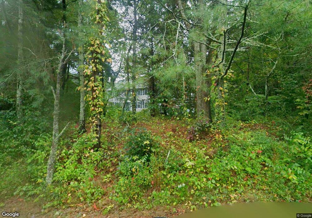
41 Elm St Rehoboth, MA 02769
Estimated Value: $771,720 - $917,000
4
Beds
3
Baths
3,091
Sq Ft
$284/Sq Ft
Est. Value
About This Home
This home is located at 41 Elm St, Rehoboth, MA 02769 and is currently estimated at $876,680, approximately $283 per square foot. 41 Elm St is a home located in Bristol County with nearby schools including Dighton-Rehoboth Regional High School and Cedar Brook School.
Ownership History
Date
Name
Owned For
Owner Type
Purchase Details
Closed on
Jul 18, 2025
Sold by
Nokes Donald R and Kones Susan A
Bought by
Nokes Ft and Nokes
Current Estimated Value
Purchase Details
Closed on
Oct 13, 1998
Sold by
Duvally Contr Inc
Bought by
Nokes Donald R and Nokes Susan A
Create a Home Valuation Report for This Property
The Home Valuation Report is an in-depth analysis detailing your home's value as well as a comparison with similar homes in the area
Home Values in the Area
Average Home Value in this Area
Purchase History
| Date | Buyer | Sale Price | Title Company |
|---|---|---|---|
| Nokes Ft | -- | -- | |
| Nokes Donald R | $80,000 | -- | |
| Nokes Donald R | $80,000 | -- |
Source: Public Records
Mortgage History
| Date | Status | Borrower | Loan Amount |
|---|---|---|---|
| Previous Owner | Nokes Donald R | $176,000 | |
| Previous Owner | Nokes Donald R | $100,000 |
Source: Public Records
Tax History
| Year | Tax Paid | Tax Assessment Tax Assessment Total Assessment is a certain percentage of the fair market value that is determined by local assessors to be the total taxable value of land and additions on the property. | Land | Improvement |
|---|---|---|---|---|
| 2025 | $7,502 | $672,800 | $173,400 | $499,400 |
| 2024 | $7,711 | $678,800 | $190,700 | $488,100 |
| 2023 | $6,809 | $614,100 | $186,700 | $427,400 |
| 2022 | $6,809 | $537,400 | $178,300 | $359,100 |
| 2021 | $6,549 | $494,600 | $162,000 | $332,600 |
| 2020 | $6,489 | $494,600 | $162,000 | $332,600 |
| 2018 | $5,540 | $462,800 | $154,200 | $308,600 |
| 2017 | $5,320 | $423,600 | $154,200 | $269,400 |
| 2016 | $5,147 | $423,600 | $154,200 | $269,400 |
| 2015 | $4,770 | $387,500 | $147,000 | $240,500 |
| 2014 | $4,731 | $380,300 | $139,800 | $240,500 |
Source: Public Records
Map
Nearby Homes
- 248 County
- 23 Bay State Rd
- 145 Winthrop St
- 321 Winthrop St
- 0 Winthrop St Unit 73180872
- 111 Summer St
- 20 School St
- 185 Moulton St
- 8 Linden Ln
- 8 Linden Ln
- 349 Anawan St
- 197 Chestnut St
- 42 Linden Ln
- 133 Winthrop St
- 46 Mikayla Ann Dr
- 10 Muriel Way
- 15 Hickory Ridge Rd
- 0 Horton St Unit 73333337
- 19 Cedar St Unit 21
- 2713 Horton St
Your Personal Tour Guide
Ask me questions while you tour the home.