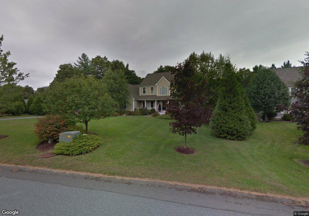
41 Fieldstone Dr Westport, MA 02790
North Westport NeighborhoodEstimated Value: $883,171 - $941,000
4
Beds
4
Baths
4,076
Sq Ft
$224/Sq Ft
Est. Value
About This Home
This home is located at 41 Fieldstone Dr, Westport, MA 02790 and is currently estimated at $913,293, approximately $224 per square foot. 41 Fieldstone Dr is a home located in Bristol County with nearby schools including Alice A. Macomber Primary School and Westport Elementary School.
Ownership History
Date
Name
Owned For
Owner Type
Purchase Details
Closed on
Dec 8, 2003
Sold by
Bristol Pacific Homes
Bought by
Polgar Anthony E and Polgar Stefanie
Current Estimated Value
Home Financials for this Owner
Home Financials are based on the most recent Mortgage that was taken out on this home.
Original Mortgage
$400,000
Interest Rate
6.03%
Mortgage Type
Purchase Money Mortgage
Create a Home Valuation Report for This Property
The Home Valuation Report is an in-depth analysis detailing your home's value as well as a comparison with similar homes in the area
Home Values in the Area
Average Home Value in this Area
Purchase History
| Date | Buyer | Sale Price | Title Company |
|---|---|---|---|
| Polgar Anthony E | $500,000 | -- |
Source: Public Records
Mortgage History
| Date | Status | Borrower | Loan Amount |
|---|---|---|---|
| Open | Polgar Anthony E | $381,000 | |
| Closed | Polgar Anthony E | $402,000 | |
| Closed | Polgar Anthony E | $423,000 | |
| Closed | Polgar Anthony E | $400,000 |
Source: Public Records
Tax History Compared to Growth
Tax History
| Year | Tax Paid | Tax Assessment Tax Assessment Total Assessment is a certain percentage of the fair market value that is determined by local assessors to be the total taxable value of land and additions on the property. | Land | Improvement |
|---|---|---|---|---|
| 2025 | $5,774 | $775,000 | $217,200 | $557,800 |
| 2024 | $5,774 | $747,000 | $201,800 | $545,200 |
| 2023 | $5,751 | $704,800 | $192,500 | $512,300 |
| 2022 | $5,479 | $646,100 | $192,500 | $453,600 |
| 2021 | $8,560 | $629,200 | $175,600 | $453,600 |
| 2020 | $5,248 | $622,500 | $168,900 | $453,600 |
| 2019 | $9,654 | $597,100 | $168,900 | $428,200 |
| 2018 | $4,522 | $553,500 | $184,000 | $369,500 |
| 2017 | $4,421 | $554,700 | $184,000 | $370,700 |
| 2016 | $4,275 | $540,400 | $184,000 | $356,400 |
| 2015 | $4,161 | $524,700 | $184,000 | $340,700 |
Source: Public Records
Map
Nearby Homes
- 47 Fieldstone Dr
- 29 Fieldstone Dr
- 53 Fieldstone Dr
- 0 Winterberry Ln
- 8 Winterberry Ln
- 2 Winterberry Ln
- 59 Fieldstone Dr
- 14 Winterberry Ln
- 1038 American Legion Hwy
- 1038 American Legion Hwy Unit 1
- 1032 American Legion Hwy
- 36 Fieldstone Dr
- 7 Winterberry Ln
- 1078 American Legion Hwy
- 1 Winterberry Ln
- 18 Winterberry Ln
- 0C Americn Legion Hwy
- 1082 American Legion Hwy
- 15 Winterberry Ln
- 30 Fieldstone Dr