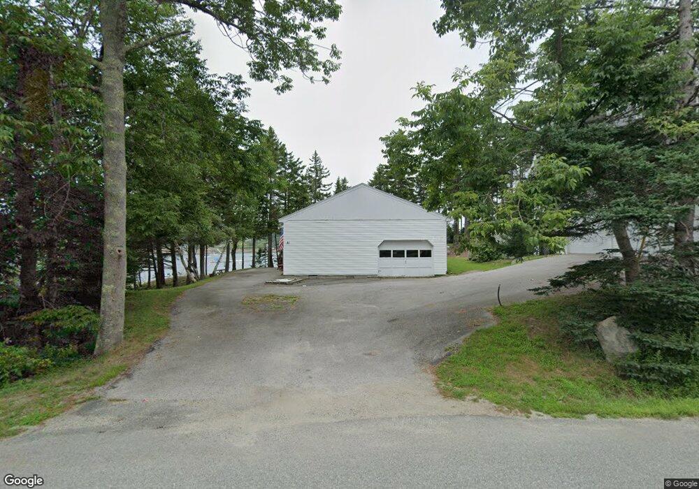
41 Fifield Point Rd Stonington, ME 04681
Estimated Value: $587,000 - $786,041
2
Beds
1
Bath
1,280
Sq Ft
$523/Sq Ft
Est. Value
About This Home
This home is located at 41 Fifield Point Rd, Stonington, ME 04681 and is currently estimated at $669,510, approximately $523 per square foot. 41 Fifield Point Rd is a home located in Hancock County with nearby schools including Deer Isle-Stonington Elementary School, Deer Isle-Stonington High School, and The Heritage School.
Ownership History
Date
Name
Owned For
Owner Type
Purchase Details
Closed on
Aug 17, 2022
Sold by
West Daniel H and West Janet M
Bought by
Eaton Chriwstopher D and Eaton Morgan J
Current Estimated Value
Purchase Details
Closed on
Jun 11, 2018
Sold by
West Daniel H and West Janet M
Bought by
West Ft
Purchase Details
Closed on
Sep 11, 2006
Sold by
Fifield Robert W and Fifield Virginia L
Bought by
West Daniel H and West Janet M
Create a Home Valuation Report for This Property
The Home Valuation Report is an in-depth analysis detailing your home's value as well as a comparison with similar homes in the area
Home Values in the Area
Average Home Value in this Area
Purchase History
| Date | Buyer | Sale Price | Title Company |
|---|---|---|---|
| Eaton Chriwstopher D | $500 | None Available | |
| West Ft | -- | -- | |
| West Daniel H | -- | -- |
Source: Public Records
Tax History Compared to Growth
Tax History
| Year | Tax Paid | Tax Assessment Tax Assessment Total Assessment is a certain percentage of the fair market value that is determined by local assessors to be the total taxable value of land and additions on the property. | Land | Improvement |
|---|---|---|---|---|
| 2024 | $5,673 | $558,900 | $315,000 | $243,900 |
| 2023 | $5,046 | $324,300 | $210,000 | $114,300 |
| 2022 | $5,046 | $324,300 | $210,000 | $114,300 |
| 2021 | $5,033 | $320,600 | $210,000 | $110,600 |
| 2020 | $5,033 | $320,600 | $210,000 | $110,600 |
| 2019 | $5,098 | $320,600 | $210,000 | $110,600 |
| 2018 | $5,162 | $320,600 | $210,000 | $110,600 |
| 2017 | $5,099 | $316,500 | $210,000 | $106,500 |
| 2016 | $5,349 | $316,500 | $210,000 | $106,500 |
| 2015 | $5,428 | $316,500 | $210,000 | $106,500 |
| 2014 | $4,779 | $316,500 | $210,000 | $106,500 |
| 2013 | $4,488 | $316,500 | $210,000 | $106,500 |
Source: Public Records
Map
Nearby Homes
- 32 Burnt Cove Rd
- 102 S Burnt Cove Rd
- 12-4 S Burnt Cove Rd
- 12-2 S Burnt Cove Rd
- 12-1 S Burnt Cove Rd
- 12-3 S Burnt Cove Rd
- 17 Barbour Farm Rd
- 36 Green Head Rd
- 643 Sunset Rd
- 51 Main St Unit A
- 68 Main St Unit 3
- 10 Moss Ledge Lndg Ln
- 18 Davids Way
- 176 N Main St
- 191 Sunset Cross Rd
- M3L66&66-2 Sunset Cross Rd
- 145 Stanley Field Rd
- 27 Spofford Dr
- Lot 001 Sheephead Island
- 293 Sunset Rd
- 38 Fifield Point Rd
- 31 Fifield Point Rd
- 21 Fifield Point Rd
- 00 Fifield Point Rd
- 14 Sellers Rd
- 12 Fifield Point Rd
- 7 Fifield Point Rd
- 248 Sand Beach Rd
- 2 Fifield Point Rd
- 77 Fifield Point Rd
- 75 Fifield Point Rd
- 230 Sand Beach Rd
- 28 Sellers Rd
- 82 Whitman Rd
- 216 Sand Beach Rd
- 218 Sand Beach Rd
- 69 Whitman Rd
- 18 Open Harbor Ln
- 91 Whitman Rd
- 5 Crockett Cove Rd