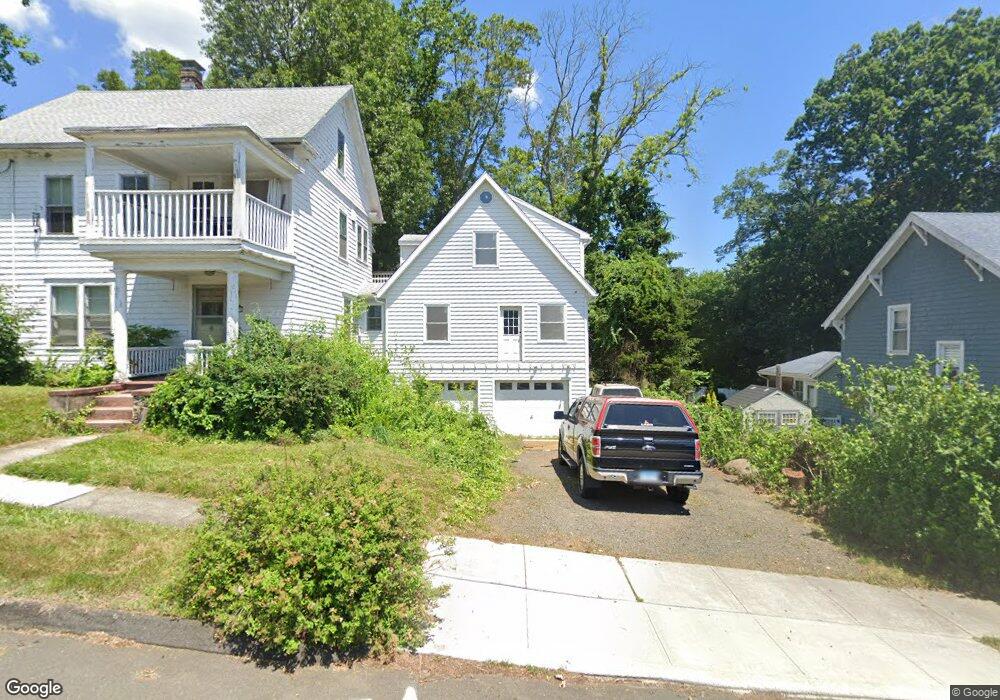
41 Florence Ave West Haven, CT 06516
Allingtown NeighborhoodEstimated Value: $475,000 - $598,000
4
Beds
4
Baths
4,041
Sq Ft
$133/Sq Ft
Est. Value
About This Home
This home is located at 41 Florence Ave, West Haven, CT 06516 and is currently estimated at $535,771, approximately $132 per square foot. 41 Florence Ave is a home located in New Haven County with nearby schools including Carrigan 5/6 Intermediate School, Harry M. Bailey Middle School, and West Haven High School.
Ownership History
Date
Name
Owned For
Owner Type
Purchase Details
Closed on
Jun 25, 2008
Sold by
Turpin Thomas P and Turpin June
Bought by
Warburton Frank W
Current Estimated Value
Purchase Details
Closed on
May 23, 2008
Sold by
Deutsche Bank Natl T C
Bought by
Turpin Thomas
Purchase Details
Closed on
Jan 12, 2006
Sold by
Turrill Margaret
Bought by
Loller Melissa A
Create a Home Valuation Report for This Property
The Home Valuation Report is an in-depth analysis detailing your home's value as well as a comparison with similar homes in the area
Home Values in the Area
Average Home Value in this Area
Purchase History
| Date | Buyer | Sale Price | Title Company |
|---|---|---|---|
| Warburton Frank W | $180,000 | -- | |
| Turpin Thomas | $290,000 | -- | |
| Loller Melissa A | $247,900 | -- | |
| Warburton Frank W | $180,000 | -- | |
| Turpin Thomas | $290,000 | -- | |
| Loller Melissa A | $247,900 | -- |
Source: Public Records
Mortgage History
| Date | Status | Borrower | Loan Amount |
|---|---|---|---|
| Open | Loller Melissa A | $48,000 | |
| Open | Loller Melissa A | $76,000 |
Source: Public Records
Tax History Compared to Growth
Tax History
| Year | Tax Paid | Tax Assessment Tax Assessment Total Assessment is a certain percentage of the fair market value that is determined by local assessors to be the total taxable value of land and additions on the property. | Land | Improvement |
|---|---|---|---|---|
| 2025 | $11,075 | $325,640 | $94,990 | $230,650 |
| 2024 | $9,460 | $197,540 | $65,870 | $131,670 |
| 2023 | $9,170 | $197,540 | $65,870 | $131,670 |
| 2022 | $9,010 | $197,540 | $65,870 | $131,670 |
| 2021 | $9,012 | $197,540 | $65,870 | $131,670 |
| 2020 | $9,362 | $181,790 | $62,510 | $119,280 |
| 2019 | $9,217 | $181,790 | $62,510 | $119,280 |
| 2018 | $7,924 | $181,790 | $62,510 | $119,280 |
| 2017 | $8,686 | $181,790 | $62,510 | $119,280 |
| 2016 | $8,422 | $181,790 | $62,510 | $119,280 |
| 2015 | $7,858 | $193,130 | $66,290 | $126,840 |
| 2014 | $7,702 | $193,130 | $66,290 | $126,840 |
Source: Public Records
Map
Nearby Homes
- 690 Forest Rd Unit 702
- 690 Forest Rd Unit 392
- 690 Forest Rd Unit 511
- 699 Forest Rd
- 11 Priscilla Rd
- 36 Forest Hills Rd
- 52 Highview Ave
- 50 Morris Ave
- 119 Westwood Rd
- 303 Central Ave
- 195 Stevenson Rd
- 80 W Rock Ave
- 0 Burwell Rd
- 29 Birch St
- 0 Burwell & Woodfield Rd Unit 24051262
- 100 Yates St
- 55 Marvel Rd
- 65 Westfield St
- 103 Gilbert St
- 30 Ellsworth Ave