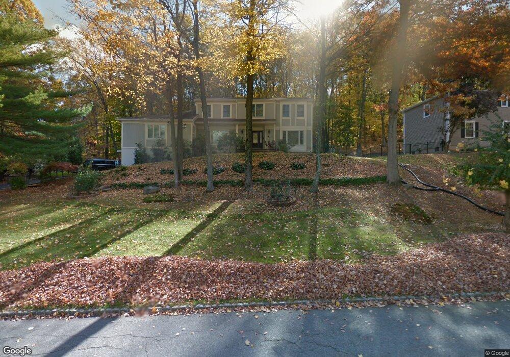
41 Forrest Rd Randolph, NJ 07869
Estimated Value: $995,055 - $1,098,000
--
Bed
--
Bath
3,769
Sq Ft
$272/Sq Ft
Est. Value
About This Home
This home is located at 41 Forrest Rd, Randolph, NJ 07869 and is currently estimated at $1,023,764, approximately $271 per square foot. 41 Forrest Rd is a home located in Morris County with nearby schools including Randolph High School, Randolph Middle School, and The Red Oaks School.
Ownership History
Date
Name
Owned For
Owner Type
Purchase Details
Closed on
May 23, 2005
Sold by
Graf Robert
Bought by
Xhumba Nikollaq and Xhumba Merita
Current Estimated Value
Home Financials for this Owner
Home Financials are based on the most recent Mortgage that was taken out on this home.
Original Mortgage
$538,000
Outstanding Balance
$265,236
Interest Rate
5%
Mortgage Type
Adjustable Rate Mortgage/ARM
Estimated Equity
$758,528
Create a Home Valuation Report for This Property
The Home Valuation Report is an in-depth analysis detailing your home's value as well as a comparison with similar homes in the area
Home Values in the Area
Average Home Value in this Area
Purchase History
| Date | Buyer | Sale Price | Title Company |
|---|---|---|---|
| Xhumba Nikollaq | $672,500 | -- |
Source: Public Records
Mortgage History
| Date | Status | Borrower | Loan Amount |
|---|---|---|---|
| Open | Xhumba Nikollaq | $538,000 |
Source: Public Records
Tax History Compared to Growth
Tax History
| Year | Tax Paid | Tax Assessment Tax Assessment Total Assessment is a certain percentage of the fair market value that is determined by local assessors to be the total taxable value of land and additions on the property. | Land | Improvement |
|---|---|---|---|---|
| 2025 | $18,410 | $650,300 | $232,800 | $417,500 |
| 2024 | $17,948 | $650,300 | $232,800 | $417,500 |
| 2023 | $17,948 | $650,300 | $232,800 | $417,500 |
| 2022 | $17,246 | $650,300 | $232,800 | $417,500 |
| 2021 | $17,246 | $650,300 | $232,800 | $417,500 |
| 2020 | $17,070 | $650,300 | $232,800 | $417,500 |
| 2019 | $16,875 | $650,300 | $232,800 | $417,500 |
| 2018 | $16,661 | $650,300 | $232,800 | $417,500 |
| 2017 | $16,453 | $650,300 | $232,800 | $417,500 |
| 2016 | $15,478 | $422,900 | $151,800 | $271,100 |
| 2015 | $15,292 | $422,900 | $151,800 | $271,100 |
| 2014 | $15,055 | $422,900 | $151,800 | $271,100 |
Source: Public Records
Map
Nearby Homes
- 3 Springhill Rd
- 13 Holly Dr
- 6 Quarry Ct
- 7 Holly Dr
- 10 Campo Rd
- 20 Longhill Rd
- 267 Washington Valley Rd
- 6 Alpine Dr
- 114 Shady Ln
- 25 N Star Dr
- 15 Raynor Rd
- 119 Woodmont Dr Unit 59
- 5 Kensington Ct
- 36 Ridgewood Dr Unit 154
- 160 W Hanover Ave
- 5 Albert Ct
- 3 Woodmont Dr
- 4 Waterview Ln
- 41 Shongum Rd
- 6 Raleigh Ct
- 43 Forrest Rd
- 39 Forrest Rd
- 44 Springhill Rd
- 46 Springhill Rd
- 37 Forrest Rd
- 52 Forrest Rd
- 45 Forrest Rd
- 50 Forrest Rd
- 8 Echo Ridge Rd
- 42 Springhill Rd
- 48 Forrest Rd
- 33 Deer Run Dr
- 47 Forrest Rd
- 48 Springhill Rd
- 40 Springhill Rd
- 9 Echo Ridge Rd
- 6 Echo Ridge Rd
- 37 Springhill Rd
- 7 Echo Ridge Rd
- 35 Springhill Rd