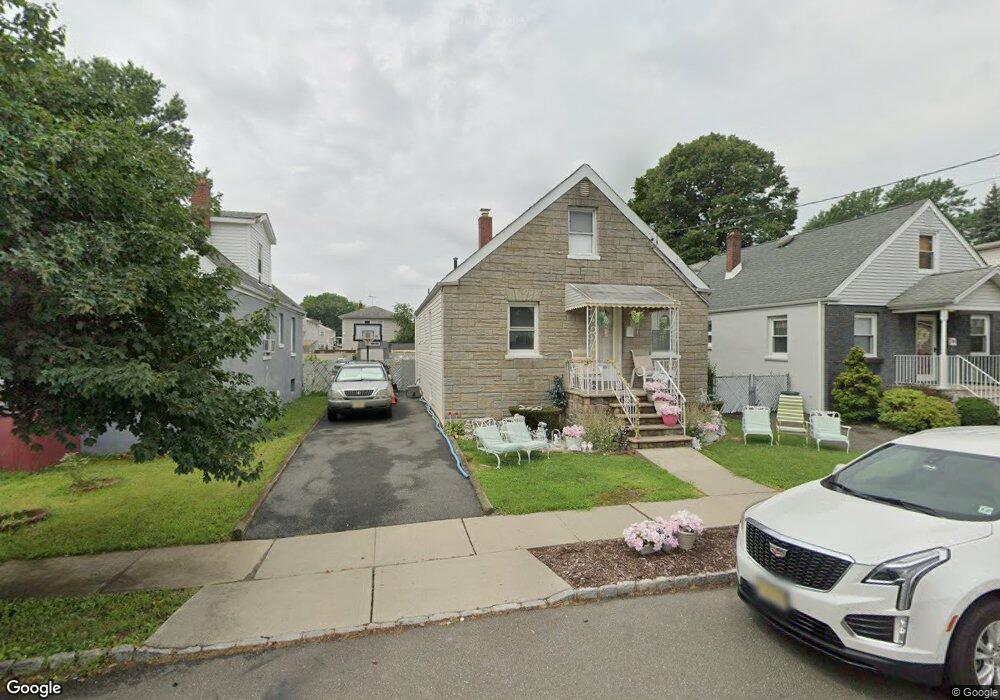
41 Fritz St Bloomfield, NJ 07003
Estimated Value: $493,218 - $540,000
--
Bed
--
Bath
1,224
Sq Ft
$420/Sq Ft
Est. Value
About This Home
This home is located at 41 Fritz St, Bloomfield, NJ 07003 and is currently estimated at $513,555, approximately $419 per square foot. 41 Fritz St is a home located in Essex County with nearby schools including Demarest School, Bloomfield Middle School, and Bloomfield High School.
Ownership History
Date
Name
Owned For
Owner Type
Purchase Details
Closed on
May 28, 2002
Sold by
Tattegrain Axel
Bought by
Francois Kerline and Francois Marie
Current Estimated Value
Purchase Details
Closed on
Sep 26, 1996
Sold by
Iorio Margaret
Bought by
Francois Mercedes and Francois Jean
Home Financials for this Owner
Home Financials are based on the most recent Mortgage that was taken out on this home.
Original Mortgage
$125,000
Interest Rate
8.22%
Purchase Details
Closed on
Jan 13, 1989
Sold by
Kirby Leanora P and Kirby Patrick V
Bought by
Iorio Margaret M
Create a Home Valuation Report for This Property
The Home Valuation Report is an in-depth analysis detailing your home's value as well as a comparison with similar homes in the area
Home Values in the Area
Average Home Value in this Area
Purchase History
| Date | Buyer | Sale Price | Title Company |
|---|---|---|---|
| Francois Kerline | -- | -- | |
| Francois Mercedes | $145,000 | -- | |
| Iorio Margaret M | $154,900 | -- |
Source: Public Records
Mortgage History
| Date | Status | Borrower | Loan Amount |
|---|---|---|---|
| Previous Owner | Francois Mercedes | $125,000 |
Source: Public Records
Tax History Compared to Growth
Tax History
| Year | Tax Paid | Tax Assessment Tax Assessment Total Assessment is a certain percentage of the fair market value that is determined by local assessors to be the total taxable value of land and additions on the property. | Land | Improvement |
|---|---|---|---|---|
| 2025 | $10,941 | $334,800 | $131,500 | $203,300 |
| 2024 | $10,941 | $334,800 | $131,500 | $203,300 |
| 2022 | $10,720 | $334,800 | $131,500 | $203,300 |
| 2021 | $10,523 | $334,800 | $131,500 | $203,300 |
| 2020 | $10,362 | $334,800 | $131,500 | $203,300 |
| 2019 | $10,705 | $268,900 | $115,000 | $153,900 |
| 2018 | $10,659 | $268,900 | $115,000 | $153,900 |
| 2017 | $10,498 | $268,900 | $115,000 | $153,900 |
| 2016 | $10,380 | $268,900 | $115,000 | $153,900 |
| 2015 | $10,285 | $268,900 | $115,000 | $153,900 |
| 2014 | $10,097 | $268,900 | $115,000 | $153,900 |
Source: Public Records
Map
Nearby Homes
- 170 Pake St
- 15 Martin St
- 109 Wilson St
- 156 Margaret Ave
- 211 E Passaic Ave
- 17 Walter St
- 267 Hoover Ave
- 66 Broughton Ave
- 73 Hoover Ave
- 298 Hoover Ave Unit 28
- 40 Brighton Ave
- 149 E Passaic Ave
- 31 Fitzherbert St
- 322 Hoover Ave Unit 73
- 328-330 Hoover Ave
- 328 Hoover Ave
- 170 Frank St
- 352 Hoover Ave Unit 94