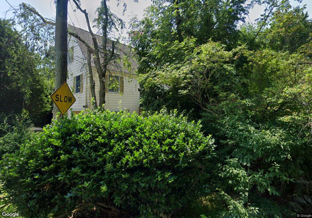
41 Gale Rd Swampscott, MA 01907
Estimated Value: $1,292,002 - $1,353,000
3
Beds
3
Baths
2,468
Sq Ft
$537/Sq Ft
Est. Value
About This Home
This home is located at 41 Gale Rd, Swampscott, MA 01907 and is currently estimated at $1,324,751, approximately $536 per square foot. 41 Gale Rd is a home located in Essex County with nearby schools including Swampscott Middle School, Swampscott High School, and Epstein Hillel School.
Ownership History
Date
Name
Owned For
Owner Type
Purchase Details
Closed on
Mar 17, 2015
Sold by
Rozovsky Walter and Rozovsky Ludia
Bought by
Lydia Rozovsky Ret
Current Estimated Value
Purchase Details
Closed on
Dec 14, 2006
Sold by
Marcus Harold J and Marcus Melanie J
Bought by
Rozovsky Walter
Purchase Details
Closed on
Dec 1, 1997
Sold by
Gordon Irving E and Gordon Idarose
Bought by
Marcus Harold J and Marcus Melanie J
Create a Home Valuation Report for This Property
The Home Valuation Report is an in-depth analysis detailing your home's value as well as a comparison with similar homes in the area
Home Values in the Area
Average Home Value in this Area
Purchase History
| Date | Buyer | Sale Price | Title Company |
|---|---|---|---|
| Lydia Rozovsky Ret | -- | -- | |
| Rozovsky Walter | $712,000 | -- | |
| Marcus Harold J | $483,500 | -- |
Source: Public Records
Mortgage History
| Date | Status | Borrower | Loan Amount |
|---|---|---|---|
| Previous Owner | Marcus Harold J | $399,000 | |
| Previous Owner | Marcus Harold J | $420,000 | |
| Previous Owner | Marcus Harold J | $250,000 |
Source: Public Records
Tax History
| Year | Tax Paid | Tax Assessment Tax Assessment Total Assessment is a certain percentage of the fair market value that is determined by local assessors to be the total taxable value of land and additions on the property. | Land | Improvement |
|---|---|---|---|---|
| 2025 | $12,848 | $1,120,100 | $457,700 | $662,400 |
| 2024 | $12,431 | $1,081,900 | $438,600 | $643,300 |
| 2023 | $11,354 | $967,100 | $400,500 | $566,600 |
| 2022 | $10,712 | $834,900 | $343,200 | $491,700 |
| 2021 | $10,280 | $744,900 | $286,000 | $458,900 |
| 2020 | $10,652 | $744,900 | $286,000 | $458,900 |
| 2019 | $11,201 | $736,900 | $257,400 | $479,500 |
| 2018 | $11,514 | $719,600 | $257,400 | $462,200 |
| 2017 | $11,824 | $677,600 | $243,100 | $434,500 |
| 2016 | $11,743 | $677,600 | $243,100 | $434,500 |
| 2015 | $11,621 | $677,600 | $243,100 | $434,500 |
| 2014 | $10,601 | $566,900 | $221,700 | $345,200 |
Source: Public Records
Map
Nearby Homes
- 110 Galloupes Point Rd
- 35 Alden Rd
- 24 Alden Rd
- 10 Arbutus Rd
- 2 Ocean Ave
- 75 Bay View Dr
- 71 Walnut Rd
- 1 Bond St
- 37 Stanley Rd
- 51 Mountwood Rd
- 50 Mountwood Rd
- 48 Bellevue Rd
- 306 Paradise Rd
- 3 Didio Dr
- 178 Norfolk Ave
- 40 Andrew Rd
- 1002 Paradise Rd Unit PHE
- 28 Claremont Terrace Unit 6
- 212 Humphrey St Unit 205
- 108-110 Burrill St Unit 1
Your Personal Tour Guide
Ask me questions while you tour the home.