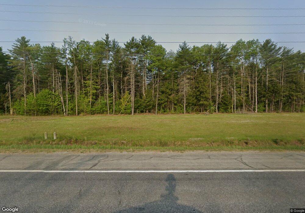
41 Galko Farm Rd Skowhegan, ME 04976
Estimated Value: $337,000 - $393,000
3
Beds
2
Baths
1,925
Sq Ft
$187/Sq Ft
Est. Value
About This Home
This home is located at 41 Galko Farm Rd, Skowhegan, ME 04976 and is currently estimated at $360,362, approximately $187 per square foot. 41 Galko Farm Rd is a home located in Somerset County with nearby schools including Maine Academy of Natural Sciences and Good Will-Hinckley.
Ownership History
Date
Name
Owned For
Owner Type
Purchase Details
Closed on
Aug 11, 2015
Sold by
Bristol Deborah A
Bought by
Bristol Glenn W
Current Estimated Value
Home Financials for this Owner
Home Financials are based on the most recent Mortgage that was taken out on this home.
Original Mortgage
$141,000
Interest Rate
4.03%
Mortgage Type
Unknown
Create a Home Valuation Report for This Property
The Home Valuation Report is an in-depth analysis detailing your home's value as well as a comparison with similar homes in the area
Home Values in the Area
Average Home Value in this Area
Purchase History
| Date | Buyer | Sale Price | Title Company |
|---|---|---|---|
| Bristol Glenn W | -- | -- |
Source: Public Records
Mortgage History
| Date | Status | Borrower | Loan Amount |
|---|---|---|---|
| Closed | Bristol Glenn W | $141,000 |
Source: Public Records
Tax History Compared to Growth
Tax History
| Year | Tax Paid | Tax Assessment Tax Assessment Total Assessment is a certain percentage of the fair market value that is determined by local assessors to be the total taxable value of land and additions on the property. | Land | Improvement |
|---|---|---|---|---|
| 2024 | $4,377 | $242,200 | $54,900 | $187,300 |
| 2023 | $4,292 | $242,200 | $54,900 | $187,300 |
| 2022 | $3,389 | $193,900 | $44,500 | $149,400 |
| 2021 | $3,052 | $166,300 | $44,500 | $121,800 |
| 2020 | $2,993 | $166,300 | $44,500 | $121,800 |
| 2019 | $2,867 | $166,300 | $44,500 | $121,800 |
| 2018 | $3,027 | $166,300 | $44,500 | $121,800 |
| 2017 | $3,326 | $166,300 | $44,500 | $121,800 |
| 2016 | $3,269 | $171,700 | $38,300 | $133,400 |
| 2015 | $3,131 | $171,100 | $38,300 | $132,800 |
| 2014 | $2,934 | $171,100 | $38,300 | $132,800 |
| 2013 | $2,806 | $171,100 | $38,300 | $132,800 |
Source: Public Records
Map
Nearby Homes
- 1072 Waterville Rd
- 918 Waterville Rd
- 1779 River Rd
- M14L10 Waterville Rd
- 1690 River Rd
- 492 E River Rd
- 571 Back Rd
- 573 Back Rd
- 627 Waterville Rd
- 45 Ledgewood Dr
- 127 Back Rd
- 219 Middle Rd
- 0 N Island Lot
- 445 Waterville Rd
- Lot 7 Oak Pond Rd
- Lot 6 Oak Pond Rd
- Lot 5 Oak Pond Rd
- Lot 4 Oak Pond Rd
- Lot 3 Oak Pond Rd
- Lot 2 Oak Pond Rd
- Lot 4-A Waterville Rd
- 1121 Waterville Rd
- 1128 Waterville Rd
- 1112 Waterville Rd
- 1102 Waterville Rd
- 1096 Waterville Rd
- 1088 Waterville Rd
- 1080 Waterville Rd
- 1073 Waterville Rd
- 251 Varney Rd
- 7 Tipper Ln
- 20 Deas Way
- 1003 E River Rd
- 973 E River Rd
- 993 E River Rd
- 955 E River Rd
- 4 Deas Way
- 1029 E River Rd
- 949 E River Rd
- 0 U S 201
