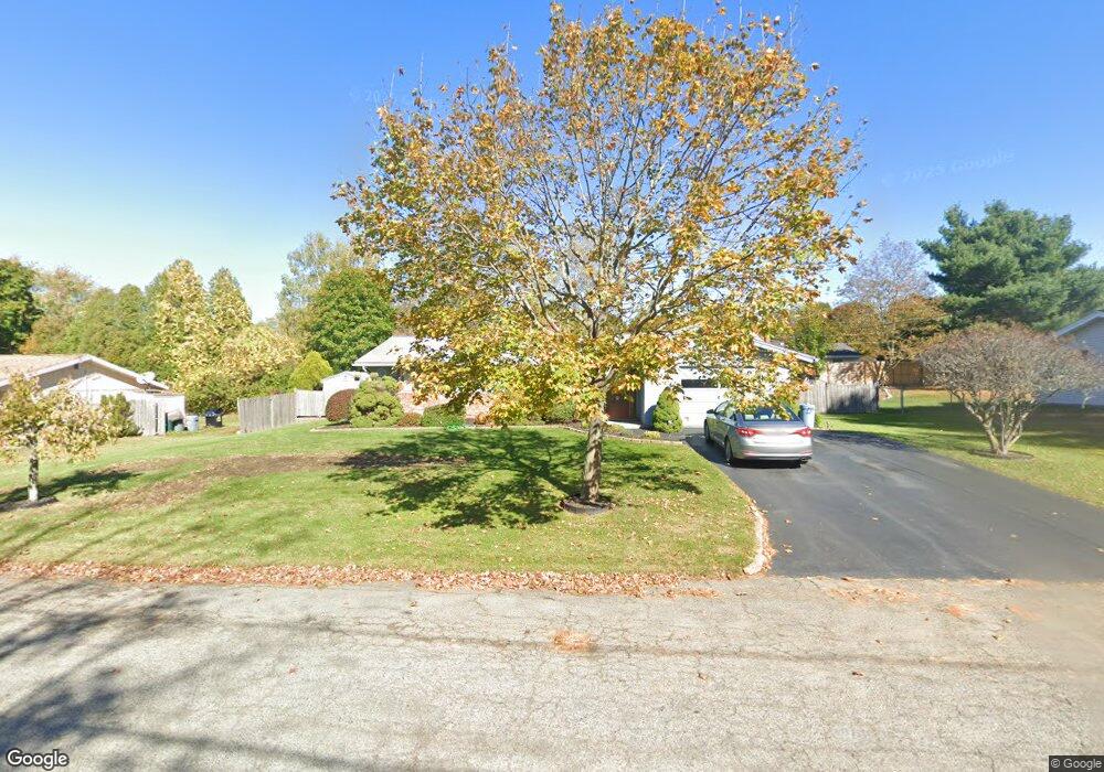
41 Gary Rd Brockton, MA 02302
Montello NeighborhoodEstimated Value: $453,991 - $487,000
3
Beds
1
Bath
1,228
Sq Ft
$384/Sq Ft
Est. Value
About This Home
This home is located at 41 Gary Rd, Brockton, MA 02302 and is currently estimated at $470,998, approximately $383 per square foot. 41 Gary Rd is a home located in Plymouth County with nearby schools including Brookfield Elementary School, Mary E. Baker Elementary School, and Downey Elementary School.
Create a Home Valuation Report for This Property
The Home Valuation Report is an in-depth analysis detailing your home's value as well as a comparison with similar homes in the area
Home Values in the Area
Average Home Value in this Area
Tax History
| Year | Tax Paid | Tax Assessment Tax Assessment Total Assessment is a certain percentage of the fair market value that is determined by local assessors to be the total taxable value of land and additions on the property. | Land | Improvement |
|---|---|---|---|---|
| 2025 | $4,911 | $405,500 | $160,100 | $245,400 |
| 2024 | $4,633 | $385,400 | $160,100 | $225,300 |
| 2023 | $4,697 | $361,900 | $110,300 | $251,600 |
| 2022 | $4,300 | $307,800 | $100,300 | $207,500 |
| 2021 | $3,845 | $265,200 | $93,100 | $172,100 |
| 2020 | $3,841 | $253,500 | $81,700 | $171,800 |
| 2019 | $3,590 | $231,000 | $78,000 | $153,000 |
| 2018 | $3,430 | $213,600 | $78,000 | $135,600 |
| 2017 | $3,164 | $196,500 | $78,000 | $118,500 |
| 2016 | $3,066 | $176,600 | $74,300 | $102,300 |
| 2015 | $2,755 | $151,800 | $74,300 | $77,500 |
| 2014 | $2,796 | $154,200 | $74,300 | $79,900 |
Source: Public Records
Map
Nearby Homes
- 45 Braintree Ave
- 275 Jon Dr
- 1004 S Franklin St
- 170 Elsie Rd
- 244 Hovendon Ave
- 719 S Franklin St Unit C Block 1
- 12 Hamilton Way
- 52 Quincy St
- 660 S Franklin St
- 30 Aspen St
- 717 Hampton Way
- 133 Ardsley Cir
- 40 Christopher Rd
- 14 Leonard Ln
- 61 Kent St
- 24 Reeds Ln
- 265 Winter St
- 95 Rindone St
- 68 Spring St
- 51 Oscar Ave
Your Personal Tour Guide
Ask me questions while you tour the home.