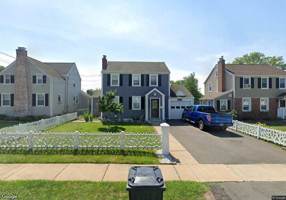
41 Goodrich Dr Wethersfield, CT 06109
Estimated Value: $396,000 - $427,000
3
Beds
2
Baths
1,626
Sq Ft
$252/Sq Ft
Est. Value
About This Home
This home is located at 41 Goodrich Dr, Wethersfield, CT 06109 and is currently estimated at $409,131, approximately $251 per square foot. 41 Goodrich Dr is a home located in Hartford County with nearby schools including Charles Wright School, Silas Deane Middle School, and Wethersfield High School.
Ownership History
Date
Name
Owned For
Owner Type
Purchase Details
Closed on
Dec 29, 2009
Sold by
Dervisevic Ismet and Dervisevic Rezlia
Bought by
Dervisevic Rifet and Dervisevic Sadina
Current Estimated Value
Purchase Details
Closed on
Aug 1, 2005
Sold by
Ruocco Angelo and Ruocco Carmela M
Bought by
Dervisevic Rifet and Dervisevic Sadina
Home Financials for this Owner
Home Financials are based on the most recent Mortgage that was taken out on this home.
Original Mortgage
$230,600
Interest Rate
5.67%
Create a Home Valuation Report for This Property
The Home Valuation Report is an in-depth analysis detailing your home's value as well as a comparison with similar homes in the area
Home Values in the Area
Average Home Value in this Area
Purchase History
| Date | Buyer | Sale Price | Title Company |
|---|---|---|---|
| Dervisevic Rifet | -- | -- | |
| Dervisevic Rifet | $232,500 | -- |
Source: Public Records
Mortgage History
| Date | Status | Borrower | Loan Amount |
|---|---|---|---|
| Previous Owner | Dervisevic Rifet | $230,600 |
Source: Public Records
Tax History Compared to Growth
Tax History
| Year | Tax Paid | Tax Assessment Tax Assessment Total Assessment is a certain percentage of the fair market value that is determined by local assessors to be the total taxable value of land and additions on the property. | Land | Improvement |
|---|---|---|---|---|
| 2025 | $9,900 | $240,170 | $62,510 | $177,660 |
| 2024 | $6,789 | $157,080 | $57,520 | $99,560 |
| 2023 | $6,563 | $157,080 | $57,520 | $99,560 |
| 2022 | $6,453 | $157,080 | $57,520 | $99,560 |
| 2021 | $6,388 | $157,080 | $57,520 | $99,560 |
| 2020 | $6,392 | $157,080 | $57,520 | $99,560 |
| 2019 | $5,688 | $139,610 | $57,520 | $82,090 |
| 2018 | $5,819 | $142,700 | $53,800 | $88,900 |
| 2017 | $5,675 | $142,700 | $53,800 | $88,900 |
| 2016 | $5,500 | $142,700 | $53,800 | $88,900 |
| 2015 | $5,450 | $142,700 | $53,800 | $88,900 |
| 2014 | $5,243 | $142,700 | $53,800 | $88,900 |
Source: Public Records
Map
Nearby Homes
- 53 Wolcott Hill Rd Unit C23
- 70 Stillman Rd
- 52 Stillman Rd
- 24 Stillman Rd
- 126 Tredeau St
- 393 Campfield Ave
- 19 Albert Ave
- 23 Highview Ave
- 80 Spruce St
- 839 Wethersfield Ave
- 18 Avalon Place
- 9 Avalon Place
- 49 Ridge Rd Unit 49
- 281 Brown St
- 11 Yale St
- 14 Fernwood St
- 26 Tifton Rd
- 90 Salem St
- 167 Campfield Ave
- 107 Amherst St